
ICENAVI DRIVE FIT · STORM STOP RULES
Secure a safe stopping place before deciding what you can still see today
The score weighs agreement between warnings and road status, visibility and wind, the availability of a safe base, fixed timings, vehicle support and the ability to change route. It is a decision aid, not a weather forecast or a pass to drive through.
Consider warnings, road status, visibility, a safe base and fixed commitments together, before the storm removes your remaining options.
The decision path links road closure, poor visibility and a safe fallback with the practical actions a driver needs before leaving a protected stop.
IMO, Umferdin and SafeTravel each cover a different part of the check; together they are more useful than an ETA or a generic map route.
The guide treats a disappearing road edge and blowing snow as a reason to stop, while recognising that conditions can change between towns.
A safe base, a legal place to stop, fuel and a shorter alternative give the driver options when the planned crossing no longer works.
The practical response includes contacting hosts and activity providers, checking the next stop and accepting that a paid booking may need to move.
The framework protects the next decision point by allowing delay, a shorter route or an overnight stop instead of forcing a risky arrival.
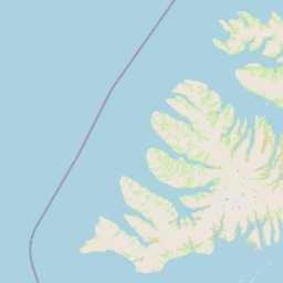
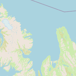
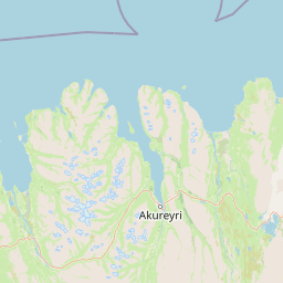
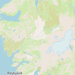
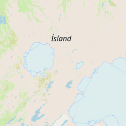
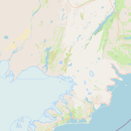
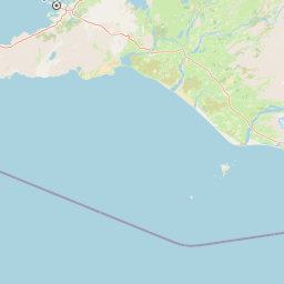
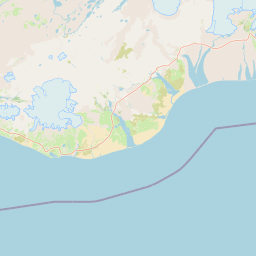
Winter driving in Iceland is a sequence of decisions rather than a single promise that the route will work. A route from KEF towards Selfoss, Vík, Höfn, Egilsstaðir or Akureyri can move through very different exposure and visibility. Read the road status before each longer leg, keep a legal stopping place in mind and use the linked route-planning guide when the weather forces a change. The map below shows the locations used in this decision framework; it is a planning aid, not proof that every road is open.
Paid bookings do not change the road condition. When IMO warnings, Umferdin road notices and SafeTravel guidance disagree with the day's plan, give the live safety information priority. Check the next fuel opportunity, the distance to a protected base and the updated arrival time before you leave. For route alternatives, see the Google Maps and Iceland road-planning guide and the route and stopping-point guide.
An alert colour is not a test of courage
The IMO impact matrix describes how weather can affect travel. Use it alongside the live road status: a lower impact level is not a guarantee that your particular road is comfortable, while a severe warning is a clear reason to reassess the crossing. Read the wording, location and timing, then compare them with the road edge, wind, snow and visibility in front of you.
| IMO impact level | What the warning describes | Driving decision | What to check next |
|---|---|---|---|
| Yellow | Weather may affect travel and conditions can change quickly. | Reduce speed, allow extra time and avoid treating the route as fixed. | Road status, visibility and a safe place to stop. |
| Orange | A significant weather event may disrupt travel and exposed roads. | Postpone or shorten the crossing unless the live conditions and exit plan are clear. | Closure notices, fuel, accommodation and activity changes. |
| Red | Very dangerous conditions are expected or occurring. | Do not enter the affected route; follow official instructions. | A safe base and the next official update. |
Do not turn the colours into a race to continue until red. A yellow warning combined with a whiteout, uncertain access to fuel or a closed road still means stop. The warning is regional; your decision must also account for the exact stretch between towns, the vehicle, the passenger, daylight and the next place where you can get safely off the road.
Three sources, three jobs: do not let ETA take command
| Decision question | Best source to open | What it tells you | How it changes the plan |
|---|---|---|---|
| Is the weather likely to affect the crossing? | IMO impact alerts and warnings | The expected hazard, area and timing. | Delay, shorten or cancel the exposed leg. |
| Is the road open right now? | Umferdin, including Vegagerðin updates | Closures, conditions and road notices. | Do not route around an official closure by guesswork; wait or use a confirmed alternative. |
| What is the safest way to continue? | SafeTravel Iceland | Driving guidance, warnings and safety context. | Choose a safe base, tell someone your plan and recheck before departure. |
| Can I still reach the next stop? | Your host, activity provider and current ETA | Whether the booking and arrival window remain workable. | Move the booking, stay overnight or remove the activity. |
Google Maps can help with distance, but it is not the authority for a live Icelandic closure. Open IMO, Umferdin and SafeTravel separately, note the time of each check and keep the road-planning reference available. If the sources or the conditions on the ground leave a material question unanswered, choose the option that keeps you near a safe stopping place.
Do not check only before breakfast: storm information needs three review windows
SafeTravel adds the practical safety layer to the official weather and road notices. Use it to check driving guidance, tell someone where you are going, keep the vehicle ready for changing conditions and avoid relying on a phone route alone. When a crossing is no longer sensible, an overnight stop can protect both the passengers and the next day's plan.
| Safety check | What to confirm | Before leaving | Decision signal |
|---|---|---|---|
| Visibility | Can you see the road edge and route markers? | Check the latest alert and look at conditions from a safe stop. | If the edge disappears, stop and do not continue into the exposed section. |
| Fuel and shelter | Where is the next fuel station and sheltered base? | Confirm opening hours, distance and a legal stopping option. | If the way out or access to shelter is uncertain, shorten the drive or stay put. |
| Communication | Who knows your route and revised arrival time? | Tell your host or contact and keep the official links open. | If nobody can confirm the next step, pause before moving. |
Break “continue” into three options instead of forcing the original plan
The costly mistake on a storm day is treating “continue as planned” as the only option. You can shorten the drive to the next safe base, move an activity to tomorrow, or leave the car near the accommodation. Each choice has a cost, but the cost should be recoverable time and money—not visibility and your way back.
| Current situation | More sensible decision | What you protect | What to drop immediately |
|---|---|---|---|
| Road open, visibility adequate, safe base nearby | Drive only to the next serviced town and turn back on time | Fuel, daylight, accommodation and return buffer | Remote side roads and extra stops |
| Warning upgraded or road restrictions begin | Shorten the route, stay at the current base or check in early | Tomorrow’s exit and the chance to reschedule activities | Cross-region sightseeing and sunk-cost driving |
| Roadblock, inadequate visibility or strong crosswind movement | Cancel the drive, stop legally and safely, and ask for help if needed | People, fuel, phone battery and ability to contact others | The idea that “only the final stretch” must still be completed |
This guide does not invent a single wind-speed threshold. The same number can mean very different risk on different roads, in different vehicles, wind directions and visibility. Put the conditions in front of you back beside the live road information instead of treating one number as permission to continue.
On a blizzard day, mark service bases rather than sights on the map
A self-drive day can connect protected towns with long, exposed stretches. The route from KEF through Selfoss and Vík towards Höfn, Egilsstaðir or Akureyri may cross different weather zones, and conditions can deteriorate after a drive has already begun. Treat each town and confirmed safe stop as a decision point; do not assume that a clear departure guarantees a clear arrival.
| Route area | What can change | Useful fallback | Who to contact |
|---|---|---|---|
| KEF to the south coast | Wind, blowing snow and visibility may change outside the capital area. | A confirmed stop before the next exposed section. | Accommodation host and activity provider. |
| South coast towards Vík | Weather may close roads or make a paid activity unreachable. | Stay where conditions are safe and revise the booking. | Host, road authority updates and SafeTravel. |
| South coast towards Höfn | Longer gaps between services make fuel and shelter planning more important. | Return to a known base rather than push onward. | Accommodation and the relevant official source. |
Weather is not the only reason to stop. Fatigue, a late departure, an unfamiliar vehicle, a passenger who is uncomfortable and an uncertain fuel plan all reduce the margin. For a broader comparison of activities and timing, see the winter driving and activity guide and the Iceland winter road guide.
| Situation | Immediate action | Update to make | Next decision |
|---|---|---|---|
| Road closure | Remain at the safe stop and do not enter the closed section. | Check the official notice again at its stated update time. | Wait or use a confirmed alternative. |
| Whiteout or lost road edge | Slow safely, stop where legal and avoid continuing blindly. | Tell the host or contact that the ETA has changed. | Stay overnight or move only when visibility returns. |
| Activity no longer reachable | Contact the provider before the booked time. | Ask about moving or cancelling the booking. | Remove the activity or reschedule it. |
| Fuel or shelter uncertain | Do not push towards an unconfirmed service point. | Confirm the next open station and accommodation. | Return to the known base. |
| Conditions improving | Recheck all three official sources before departure. | Share the revised route and arrival time. | Take the shorter, safer leg if it remains suitable. |
Write down the revised stopping place and the next time you will check the official updates, then let the affected host or provider know. That small record keeps the next decision grounded in current conditions rather than yesterday's timetable.
Reconnect accommodation, activities and the return plan
Stopping is the start of the revised plan. Keep the vehicle in a legal safe position, record the next official update time and tell the people affected by the delay. If conditions improve, make a fresh decision rather than assuming the original departure is still safe.
After cancelling the drive, make four calls in order
ICENAVI storm-stop score: a low score means cancel the crossing first
Use this simple scale at each decision point. Score 2 when the official sources, road edge, fuel and safe base are clear; score 1 when a manageable uncertainty remains and you can shorten the leg; score 0 when a closure, whiteout or missing exit makes the crossing unsafe. The total is a prompt to pause, not permission to override an official closure.
| Decision area | 2 points | 1 point | 0 points |
|---|---|---|---|
| Road status | IMO, Umferdin and SafeTravel align and the route is open. | One update is unclear; wait, shorten or verify locally. | The road is closed or the route cannot be confirmed. |
| Visibility | Road edge, markers and the next stop are visible. | Blowing snow is intermittent; a safe shorter option exists. | The road edge disappears or the route is a whiteout. |
| Fuel and shelter | Fuel, shelter and a legal stopping place are confirmed. | One detail needs confirmation before departure. | No reliable fuel, shelter or exit is available. |
| Vehicle and passengers | The vehicle, passengers and driver are ready for the conditions. | The plan needs a slower pace or shorter leg. | The vehicle or passengers are not suited to continuing. |
| Arrival and activity | The host, ETA and activity window remain workable. | The booking can move or the activity can be removed. | The arrival depends on entering unsafe conditions. |
This score deliberately gives heavy weight to whether you can stop safely: on a storm day, a serviced base is a resource in its own right. You do not need to prove you can push on for another half-hour; you need to preserve choices for tomorrow. For fuel and card pre-authorisation, see Iceland fuel stations and resupply; for parking and speeding costs, see Iceland parking and speeding fines. If you are still deciding whether a 2WD South Coast plan keeps a usable fallback, separate the main road from side roads before committing.
If one critical area scores 0, stop regardless of the total. If the total is low, use a safe base and wait for the next update. Compare the decision with the Iceland road and weather planning guide, the winter driving checklist and the 2WD winter-driving guide before committing to a longer leg.
Ten checks before departure: if one answer is missing, do not cross regions
- Open the IMO warning and impact matrix for the area ahead.
- Check Umferdin for current road notices, closures and definitions.
- Read SafeTravel's Iceland driving guidance and update your contact.
- Confirm the road edge, visibility, wind and daylight from a safe position.
- Check the vehicle, tyres, fuel level and the next service point.
- Identify a legal stopping place and a confirmed accommodation fallback.
- Ask the host or activity provider whether the arrival window still works.
- Recalculate the route and ETA without treating the original booking as fixed.
- Tell someone the revised route and the time you expect to check in.
- If a closure, whiteout or missing exit remains, stay put and wait for an update.
These checks are a decision aid, not a promise that the weather will hold. If the route is unsafe, the useful next move is to remain at the safe stop, contact the relevant provider and revise tomorrow's plan. For the wider choice between self-drive and a day tour, read the Iceland self-drive or day-tour guide; for connectivity on a changed route, see the Iceland self-drive eSIM guide.
More route decisions
Separate road status from what each tool can tell you
Google Maps, route planning and arrival timesChoosing a route and a safe stopping pointIceland winter roads and visibilityUseful trip planning
Keep accommodation, activities and the return route workable
One or two nights in VíkWinter activities and timingSelf-drive or day tour in IcelandReferences and sources
References
This guide brings together Iceland weather alerts, road notices, safe-driving guidance, accommodation and activity decisions. The source check was recorded on 5 September 2026. Use the linked official pages for current conditions before every exposed drive.
- Icelandic Meteorological Office · weather alerts for regional warnings and impact levels.
- IMO · impact matrix for the meaning of the alert levels.
- Umferdin · road notifications for current road conditions and closures.
- Umferdin · definitions for the terms used in road notices.
- Vegagerðin · the traffic centre for traffic information and the road network.
- Vegagerðin · driving safely in Iceland for safe-driving guidance.
- SafeTravel Iceland · driving in Iceland for practical travel-safety advice.
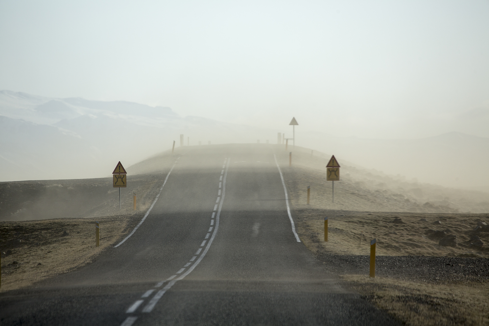
- Hero image: Maarten Visser · Wikimedia Commons, CC BY-SA 2.0, showing a dust storm over Skeiðarársandur.
- OpenStreetMap for the map data and attribution.

Editorial source note: this is an L1 self-drive decision guide. The CTA and route suggestions point readers back to current official road and weather information; they do not replace live checks or local instructions.
Q&A · practical storm-stop questions
Can you continue in a four-wheel-drive vehicle during a blizzard?
Four-wheel drive changes traction, not a road closure, visibility or the distance to help. Check the road notices and weather warnings first, then decide from a legal stopping place with a confirmed fuel and escape plan.
An activity is already paid for. Should you push on?
Do not treat a prepaid activity as permission to enter dangerous conditions. Contact the activity provider and accommodation first, keeping open the option to move the booking, stay overnight or cancel the crossing.