
Let the map plan the route, then let road data approve the drive
Use Google Maps for addresses, route options and an estimated travel time. Offline maps keep the line visible when the signal drops, but they do not know about a new closure, traffic queue or better detour. Before leaving and during a longer leg, check Umferdin for road information and SafeTravel for safety guidance. Let the passenger manage the screen; the driver should decide only after stopping legally and safely. If the road-status page disagrees with the ETA, follow the sign and the safer option.
ICENAVI NAVIGATION FIT · ROAD STATUS
Put tool roles, offline backup and fallback routes on one decision card
This score measures whether today's navigation information supports a safe decision. It is not an accuracy rating for any app and does not guarantee that a road is open. Roads, weather, roadworks, signal, activities and accommodation notices change, so recheck live road-status pages and on-site signs before leaving and during the drive.
Umferdin and SafeTravel put restrictions, warnings and safety context with the right sources; they do not confirm that every attraction entrance or parking space is available.
Addresses and ETAs, road status, safety warnings and offline directions each have a proper tool. Keeping them separate stops a reassuring ETA from posing as a travel permit.
Downloading areas and testing accommodation and fuel-station addresses preserve directions; offline maps do not update closures, incidents, traffic or alternative routes.
A B route, turning-back points, removable attractions and contactable accommodation keep a closure from leaving you with only one cross-country option. Write the fallback before departure.
The passenger reads the information, the driver concentrates on driving, and route changes happen only from a legal, safe stopping place. This reduces the temptation to handle a phone while moving to protect an ETA.
Navigation supports a decision when roles, official checks, offline backup and a B route are all present. The score is not a reason to force one line around the Ring Road.
This card deliberately separates tool accuracy from having a way out. Even if Google Maps finds the hotel, do not follow its ETA when road data is unchecked, the offline area is stale or you have no safe turning-back point.
| Approach | What remains | Trade-off | When to choose it |
|---|---|---|---|
| Use only Google Maps | Addresses, distance, route and estimated time | No guarantee of closures, snow, roadworks or today's access | For addresses and an initial route, not the final travel decision |
| Check live road conditions before leaving | Today's restrictions and warnings are part of the decision | You may need to drop attractions, shorten the drive or change accommodation | For long transfers, winter driving, fixed meetings or a route with no second option |
| Rely on offline maps | Directions, saved addresses and base locations without a signal | No live traffic, closure or alternative-route updates | As a second layer of backup, never instead of a pre-departure road check |
| Stay at base or switch to a day tour | Sleep, meeting time and the safety of people and vehicle | You give up some self-drive freedom or postpone an attraction | When road information conflicts with signs, or no B route can work |
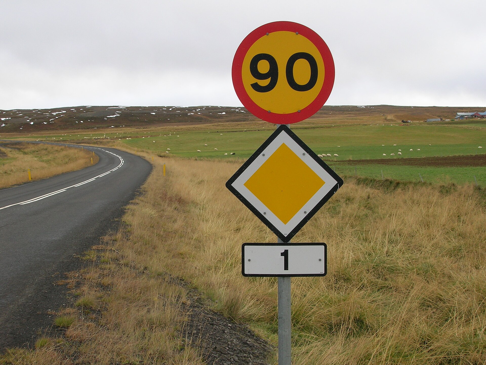
The 90 sign in the opening image can create a false sense of certainty: a number tells you the legal limit and road type, not whether you can arrive on time today. Wind, snow, gravel, roadworks or a closure ahead decide that. This page separates each tool's role so everyone in the car knows what happens next.
If the first question is whether the vehicle can complete the route, start with the real cost of petrol and hybrid cars and fuel-station pre-authorisation and supply rhythm. This page takes over when the car can move but the route suddenly stops being reliable. Navigation is a division of duties, not a single button.
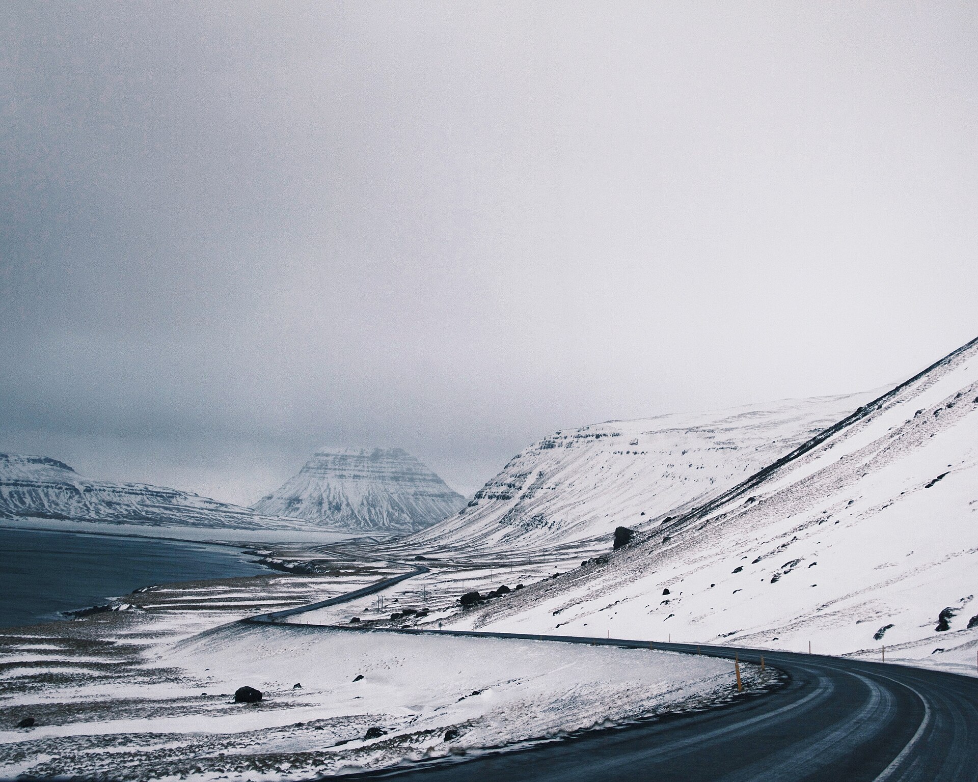
Separate the four screens first: which one answers which question?
After collecting the car in Reykjavik, place the four pages where everyone can find them and check the day's route section by section. Drawing the whole Ring Road at once can hide restrictions. Google Maps may find the hotel without proving that its entrance is usable today; Umferdin may show road data without deciding whether the hotel will delay check-in. Each question belongs with the right source.
| Tool or source | Best question it answers | What it is not | Practical use in the car |
|---|---|---|---|
| Google Maps online | Addresses, attraction entrances, route distances and estimated time | Proof from the road authority that a road is open, clear or passable | Save exact addresses and alternative destinations before leaving; the passenger operates it |
| Google Maps offline maps | The downloaded map and some route information without a signal | Live traffic, alternative routes or the latest closure notice | Download the Ring Road in sections and confirm the downloads have not expired |
| Umferdin/Vegagerðin | Road conditions, roadworks, restrictions and official road notices | A hotel entrance, activity meeting point or your personal ETA | Check before each day's departure and midway through a long transfer; note affected sections |
| SafeTravel Iceland | Driving safety, weather and road-check habits, warnings and signs | A replacement for signs on the road or a guarantee that the original plan will work | Turn warnings into a decision to slow down, wait or abandon the route |
These sources have limits. Umferdin road data can come from road authorities, contractors or automated systems, and update timing or automated information can be wrong. SafeTravel warns that Google Maps may not reflect a closed or impassable section. Keep using the tools, but do not let a convenient screen replace the road authority, safety service or signs on the road.
The real purpose of offline maps: keep your bearings, not today's road status
Google Maps offline mode works only when the whole route lies inside a downloaded area. Without a network connection, traffic and alternative routes do not update, and downloads can expire. Treat offline maps like a paper backup: they can show where the hotel is when the signal disappears, but they cannot prove that the road is open now.
| Situation | What offline maps can still do | What they cannot do | Fallback to add |
|---|---|---|---|
| Temporary loss of signal in a tunnel or valley | Show the downloaded map, route direction and saved places | Tell you about a closure, incident or snowstorm that has just occurred ahead | Check Umferdin while connected, then change route only from a safe stopping place |
| The download covers only south-west Iceland | Basic orientation from Reykjavik to part of the South Coast | Work fully in East or North Iceland outside the downloaded area | Download by accommodation segment and test the valid dates |
| The network returns but road conditions have changed | Keep stored hotel, fuel-station and activity locations | Remove a newly closed section from the plan in your head | Put the official notice ahead of the old route and let the passenger recalculate |
| The map shows an attractive ETA | Remind you that you are still travelling in the broad right direction | Fully account for parking, photos, queues, low visibility and rest | Work backwards from the latest acceptable arrival time |
Run a quick test after collecting the car: turn on aeroplane mode and search for tonight's accommodation and the next fuel station. If neither appears, fix the problem before setting off. Save exact accommodation addresses, activity meeting points and the vehicle return location rather than only a town name. If you are comparing a day tour with self-drive, self-drive or a day tour explains the practical cost of deciding who monitors the road.
Put the map on the table: route bases matter more than a beautiful line
The OpenStreetMap base map below shows the geographic scale of the Ring Road: Reykjavik, Vík, Höfn, Egilsstaðir, Akureyri and the western turning points. It is for deciding where to refresh information, refuel or change accommodation. The markers use public town locations; the map is not a closure layer and will not change colour because it is snowing today.
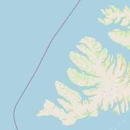
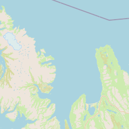
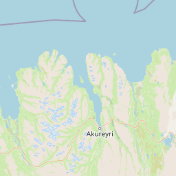
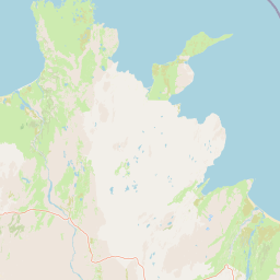
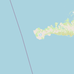
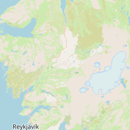
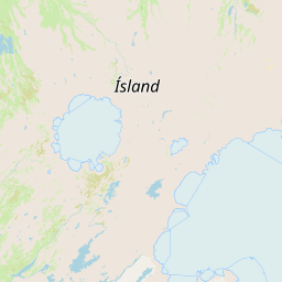
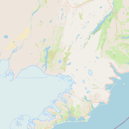
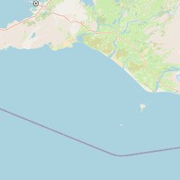
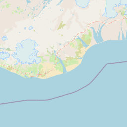
If you are travelling from Vík towards Höfn, the line on the map may look easy even when staying in Vík for another night is the sensible choice. One night or two in Vík fits here: when conditions make the eastbound drive uncomfortable, staying put can preserve visibility and energy for tomorrow. If you only want the main South Coast stops, the South Coast destinations page links attractions with realistic stop lengths and accommodation options.
The 15-minute pre-departure check: the passenger handles information, the driver makes the call
SafeTravel recommends checking weather and road conditions each morning and several times during the drive. Turn that advice into a short process: one person reads, one person decides, and the driver never handles a phone while moving.
| Minutes | Passenger does | Driver needs to know | When to stop the original plan |
|---|---|---|---|
| 15-12 | Check affected sections on Umferdin, then read SafeTravel warnings | The furthest base that is safe today | The original section is closed, restricted or covered by an unexplained warning |
| 12-9 | Save exact Google Maps addresses for the hotel, fuel station and activity meeting point | The next legal place to park, rest and change direction | Only one distant option remains and it has not been confirmed |
| 9-5 | Check offline coverage, download dates, phone battery and eSIM | Who reads road updates and who contacts accommodation or the activity provider | The map is stale, backup power is missing or the meeting time is close |
| 5-0 | State the A route, B route and latest turning-back time; switch on voice guidance | No handheld phone after moving off; follow signs on the road | Signs, visibility or the road surface do not match the screen |
An eSIM is useful because it lets you open an official page, call accommodation or cancel an activity from a safe place; Iceland eSIM for self-drive separates navigation, road checks and backup data. Pulling onto the roadside to study a phone can break both safety and parking rules. Find a legal place to stop, as explained in Iceland parking fees and legal parking.
| Information you want | Do not do this | Safer alternative | Record after checking |
|---|---|---|---|
| Road closure notice | Reach for the phone while the driver is in the traffic lane | Let the passenger read it, or stop in a proper parking place first | Affected section, update time and first turning-back point |
| Accommodation phone or delayed check-in | Wait on the road shoulder for a reply | Handle it at a fuel station, service area or legal parking place | Call time and acceptable arrival window |
| Activity meeting location | Drag the map while driving to chase the ETA | Save the exact address and recalculate after parking | Meeting entrance, check-in deadline and cancellation/late policy |
| Alternative attraction | Turn around in a no-parking place to add one more stop | Place the backup at the next legal stop or remove it | Latest turning-back time and accommodation direction |
When routes conflict, protect the fixed commitments first
The difficult part is accepting that one planned commitment may have to go. A fixed ice-cave tour, a paid ferry and an airport return time cannot be pushed back like a viewpoint. A free lookout may be the easiest item to drop. Identify the fixed conditions first, then shorten the route; that usually costs less than speeding after an ETA.
| Conflict | Keep first | Drop first | Next contact |
|---|---|---|---|
| Road conditions make the eastbound South Coast drive one hour slower | Tonight's confirmed accommodation that can delay check-in | The final remote waterfall side trip | Accommodation and the next activity provider |
| Fixed-time ice-cave or snowmobile meeting | Meeting point, early check-in and a safety buffer | Unplanned photo stops on the way | The activity page's rescheduling/late policy |
| Return the car at KEF today | Return fuel level, road buffer and rental-company requirements | The final attraction on the way back | The rental company and airport return page |
| Phone or car display does not match the signs | The signs, road safety and visibility | The attractive screen ETA | Official notices, checked from a safe place |
There is no medal for completing the Ring Road at all costs. If a road notice makes the original route unreasonable, how to rework an Iceland road closure on the same day brings accommodation, activities and turning back into the same decision. If conditions have not reached closure level but wind or snow has destroyed visibility and your fallback, read when to cancel an Iceland self-drive in a snowstorm. Do not drag a new line on the map while leaving tonight's bed and tomorrow's meeting in the old direction. For speeding to catch up, see how to avoid illegal parking and speeding in Iceland.
ICENAVI navigation confidence score: a low score does not automatically mean you cannot leave
This is an itinerary-planning tool, not a road-safety certification. Give each dimension 0, 1 or 2 points; a total of 8 or more means you have at least two layers of fallback. A low score means shorten or delay first, not that courage can fill the information gap.
| Dimension | 2 points | 1 point | 0 points |
|---|---|---|---|
| Road data | Umferdin and SafeTravel both checked | Only one reliable source available | Only an old screenshot or review |
| Address accuracy | Exact hotel, activity and fuel-station addresses saved | Only a town or attraction name saved | Find the entrance after arrival |
| Offline backup | Downloaded by area, not expired and phone charged | Only some sections downloaded | Entirely dependent on signal |
| Route fallback | B route, turning-back point and attractions that can be dropped | Alternative accommodation identified but not contacted | Only one cross-country route remains |
| Human roles | Passenger reads; driver concentrates on driving | You need to stop occasionally to check | Driver changes the route while moving |
The common mistake at a low score is adding more attractions to the map to disguise the missing answer. Add one reliable source, save the accommodation phone number or remove one non-essential side trip and the score may recover. Sometimes dropping one item is what lets the rest of the Ring Road work.
Ten questions before you get in the car: if one has no answer, pause at the starting point
Read these ten questions with your travel companions. They are not a test; they turn “it should be fine” into a decision you can check before leaving the city.
- Who is responsible for today's road notices, and can the passenger find Umferdin?
- Does SafeTravel show a warning or driving advice relevant to the destination?
- Does Google Maps contain an exact entrance, or only a town name?
- Does the offline map cover today's entire route and remain within its valid dates?
- If the original road closes, where is the first legal turning-back point?
- Which attraction can be removed, and which activity meeting time cannot move?
- Where are the next fuel station, toilet and place with mobile reception?
- Once the car moves, can the driver avoid holding the phone or reading long messages?
- Does the accommodation know you may be late, and have you saved its number and cancellation policy?
- What is the latest time to abandon the original route without losing tonight's check-in or tomorrow's car return?
If one answer is still “we will see when we get there”, move that “there” forward. Check in Reykjavik, Selfoss, Vík or Höfn from a legal parking place instead of using the shoulder as an office in wind and snow. Plan how you will get current information before buying an activity; the order for booking Iceland activities explains how fixed activity times interact with transport schedules. Good navigation makes it clear when and why to stop.
Related reading
Understand same-day road conditions first
How to read Iceland's road-condition websitesHow to rework a road closure on the same dayFuel stations and supply fallbacksMore reading
Reconnect accommodation and activities with the route
One night or two in VíkIceland self-drive or a day tourIceland eSIM for self-driveQ&A | Can Google Maps replace live road conditions?
Can Google Maps replace live road conditions?
No. Google Maps is useful for addresses, directions and ETAs. Whether a road is open, closed or safe belongs with Umferdin, SafeTravel and the signs on the road.
What are offline maps best used for?
They preserve directions, road names and saved addresses inside the downloaded area. They do not update closures, incidents, traffic or alternative routes, so they cannot decide on their own whether you should leave today.
Can the driver re-enter a route while driving?
The driver should not. The passenger can read the information, and the route should be changed only after stopping in a legal, safe place. The driver needs attention on the road, wind and visibility.
What should we do when the information conflicts?
Reach a safe base first. Protect fixed commitments such as an airport return, car return, accommodation check-in or activity meeting; drop the most distant and easiest-to-recover attraction. If you still cannot confirm the route, delay or turn back.
References
Road conditions, warnings, download-map functions and operating information change. The sources below were checked on 5 September 2026; before leaving, follow the current official pages, road signs, rental agreement and activity provider notices.
- Umferdin/Icelandic Road and Coastal Administration | Definitions: the road-information source, update periods, weather and traffic data, and the possibility of errors in automated information.
- Umferdin | Road notifications: official road notices and affected sections.
- SafeTravel Iceland | Driving in Iceland: checking weather and road conditions before departure, why Google Maps cannot replace closure information, and driving-safety principles.
- SafeTravel Iceland | Top 12 driving tips: checking in the morning and during the drive, not stopping on the roadside for photos, fatigue and closure warnings.
- SafeTravel Iceland | Road signs: interpreting closure, no-parking, gravel-road and other signs on the road.
- Google Maps Help | Download areas and navigate offline: download areas, offline limits, the lack of live traffic and alternative routes, and map expiry.
- Opening image: CS/Wikimedia Commons, released into the public domain; photographed near Goðafoss in 2008. It illustrates the road sign and surface scale, not current speed limits, weather or roadworks.
- OpenStreetMap: base map and attribution for the Ring Road map in this article; markers show geographic scale, not a road list, closure status or navigation.

This page is an L1 self-drive navigation decision entry point. It carries no rental-car or activity CTA: first separate information duties, offline backup and rerouting, then handle transactions on the relevant accommodation, activity or transport page.