
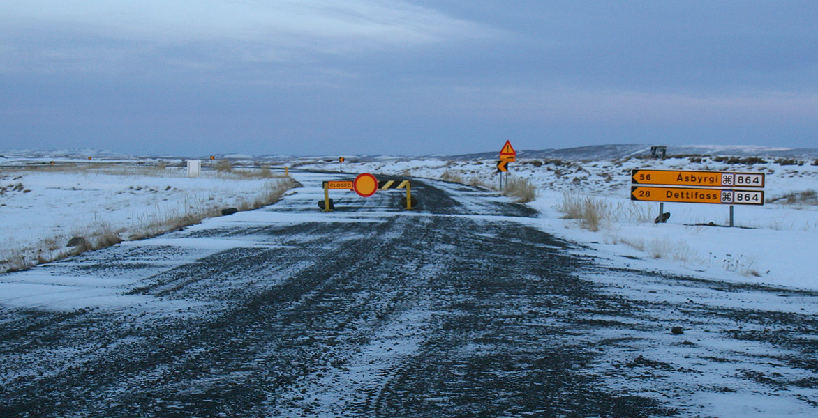
Get to a safe base before rebuilding the day
First work out whether the notice says closed/no access, a vehicle or seasonal restriction, or simply very slow conditions. Use Umferdin/Vegagerðin for the road status, SafeTravel for safety context and roadside signs, and Google Maps only after the alternative road is confirmed passable. Leave the roadside and find a legal place with network coverage. Keep airport times and fixed activities, then cut the farthest stops first. If the sources still disagree, delay or turn back; a faster drive does not solve an unresolved closure.
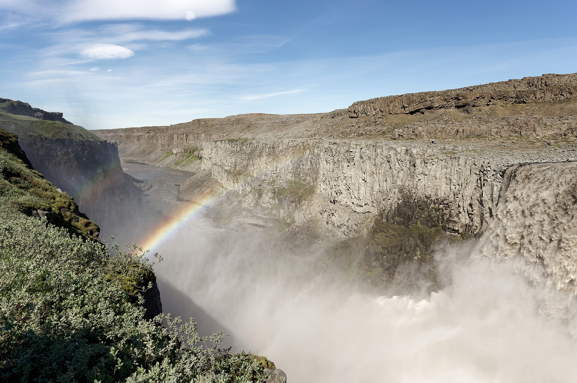
ICENAVI DRIVE FIT · CLOSURE & REROUTE
Does this alternative route leave you enough room to retreat?
This is an editorial assessment for reworking a day after a closure, not certification that a road is open. Recheck current conditions, legal parking, accommodation, activities, fuel, network coverage and fixed deadlines on the day.
Only when Umferdin, SafeTravel and the roadside signs explain the same situation should you compare alternatives; an old screenshot and a map colour are not enough.
A place where you can park legally, refuel, make calls and stay overnight lets you move the decision back to a table. Waiting on the shoulder is not a base.
Protect airport, car-return, activity meeting and check-in times first, then remove free stops and long detours. If speeding is required, there is no safe margin.
Vehicle eligibility, fuel or charging, network coverage and rental terms must work on the new route. Do not treat “there should be one at the next stop” as verified information.
Free cancellation, late arrival, an extra night or rescheduling can contain the cost of a closure. Contact providers before you move.
A high score means you have enough information to choose; it does not mean you must continue. Below 6, return to base, make calls or delay.
You may be in a hotel lobby when the alert appears, or already east of Vík while someone travelling with you points out that the map still draws a line to Jökulsárlón. Both scenes are plausible, but they call for different actions. In the lobby you can call about a late arrival or change an activity. In the car, first find an official parking place. Break “Can we still get there?” into smaller questions so one red section of road does not turn the whole day into an argument.
This page is about deciding what to do after a closure, not about maintaining a road-closure list that stays correct forever. The traffic centre monitors roads and weather year-round and feeds updates into Umferdin. Mountain-road access is also affected by snowmelt, ground conditions and protected-area rules. A status seen today belongs to today’s conditions; it cannot be copied to next week, and last year’s travel article cannot overrule a barrier in front of you.
If you have not separated the roles of the different tools, start with how Iceland driving navigation, offline maps and live road conditions work together. If you have already seen a closure notice, the process below takes over. Navigation is the last check, not the first authority.
First identify what “you cannot drive through” actually means
The same red section on a map can represent different levels of restriction. Read the status wording, road signs, vehicle eligibility and weather together. Do not save only a colour screenshot without recording the road section and update time.
| What you see | What it means | First action | Do not infer |
|---|---|---|---|
| Closed/Lokað | The road section is temporarily closed, possibly because of weather, construction or an incident | Record the section, time and source; reach a safe base before reworking the day | The barrier can be passed because navigation still shows a route |
| Slippery/Very slippery | Road conditions require a lower speed and greater safety distance | Recheck weather, vehicle condition and the latest safe arrival time | Four-wheel drive removes the risk |
| Restricted/vehicle restriction | Access may be limited to certain vehicles, seasons or service conditions | Check the rental agreement, road notice and roadside signs | A rental company’s “4WD” label guarantees eligibility |
| Road works/traffic control | The route may remain usable but involve temporary controls, waiting or a detour | Add possible waiting time to activity and check-in buffers | The map ETA includes every control |
When the wording is unfamiliar, read the English text, symbols and road number together rather than relying on a translated sentence such as “road conditions are good”. SafeTravel also stresses the priority of roadside signs. If the barrier conflicts with your phone, follow the barrier. For vehicle eligibility, see the boundary between F-roads and 4WD; it is not a way around a closure, but a safeguard against treating four-wheel drive as a permit.
| Screenshot/record | Why it matters | Write down | When you will use it next |
|---|---|---|---|
| Road name and number | One area may contain several side roads, so a town name is not precise enough | For example, Route 864, Dettifoss direction | Recalculate alternatives and contact accommodation |
| Status wording and symbol | Closures, restrictions, construction and slow conditions require different responses | Original wording, status page and roadside sign | Decide whether to continue, shorten the day or turn back |
| Update time | Road status is not a permanently valid map | The time checked and the next time to recheck | Review it again at base instead of relying on an old screenshot |
| Contact and turn-back point | A detour affects accommodation and activities as well as the car | Phone numbers, cancellation deadlines and official parking locations | Notify providers and activate Plan B |
Find the first safe base before changing the day
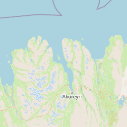
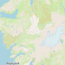
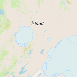
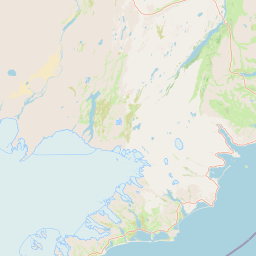
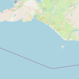
When a closure happens on the road, the first objective is not the final destination but the next place where you can park legally, get network coverage, use a toilet or speak to staff. Selfoss, Vík, Höfn, Egilsstaðir and Akureyri offer different levels of supplies and accommodation. They are not guaranteed shelters that are always open; they are places where you can move the decision away from the steering wheel and back to a table.
Reorder the day by protecting what cannot move
The common mistake is protecting the largest number of attractions first, then discovering that a fixed meeting or check-in time is no longer reachable. Treat activities, airport car return, accommodation cancellation deadlines and the final reliable refuelling opportunity as fixed constraints. Free attractions and long side trips are the recoverable parts. Payment already made does not make a dangerous day safe; sunk cost cannot open a road.
| Item | Why check it first | How to change it | What not to do |
|---|---|---|---|
| Airport/car-return time | It cannot move, and a delay may affect the flight or rental agreement | Stay closer to the airport earlier and remove the farthest return-day detour | Speed to recover lost buffer |
| Activity meeting and check-in | Ice caves, snowmobiles and whale watching have fixed times and provider policies | Contact the provider first, then shorten the preceding route | Drive towards the meeting point without confirming late-arrival options |
| Confirmed accommodation | It determines whether you must cross regions tonight and may involve a cancellation deadline | Ask about late arrival, rescheduling or moving to a closer base | Follow a new map route without notifying the property |
| Free attraction/long side trip | It is easiest to drop, with no ticket or meeting-time loss | Move it to another day or remove it | Cross a closed road for one photograph |
If a fixed activity genuinely cannot move, save its meeting point, check-in deadline and cancellation policy where everyone travelling with you can see them. Then decide whether to move accommodation closer. The order for booking Iceland activities separates which clock gets locked first; this page deals with what to do when a road suddenly pushes that clock farther away.
Accommodation is part of the safety plan
People often continue towards the original hotel after a closure because the room has already been paid for. The more useful comparison is whether one additional cancellable night in Vík is more sensible than trying to reach Höfn through worsening weather, or whether staying in Selfoss creates a cleaner departure towards the Golden Circle and South Coast tomorrow. Put the room price, cancellation terms, late-arrival policy, breakfast and supplies in the same comparison. That usually gives a clearer answer than asking which area is most popular.
| Where you are now | More sensible base | What to ask accommodation | When to give up the original room |
|---|---|---|---|
| Reykjavík/KEF | Keep access to city services and reassess the South Coast exit tomorrow | Cancellation deadline, early-flight transport and late arrival | The South Coast remains closed and check-in cannot be extended |
| Vík/western South Coast | Stay another night, retaining fuel, food and options east or west | Extension, dinner, checkout and laundry | The only exit is restricted and tomorrow’s activity cannot connect |
| Höfn/southeast coast | Choose east or west according to current conditions instead of forcing a crossing | Late arrival, breakfast time, supplies and cancellation | Both directions narrow at once and the turn-back point is no longer safe |
| East/North | A better-serviced town such as Egilsstaðir or Akureyri | Winter arrival, parking, hot water and tomorrow’s exit | Mountain-road or side-road restrictions do not match the rental vehicle’s eligibility |
This is why whether to stay one or two nights in Vík cannot be judged by scenery alone. When the road east becomes uncertain, an extra night can move the decision back beside a bed and may be worth more than a non-refundable room. Accommodation is part of your fallback plan, not a field to fill in at the end.
Activities, fuel and network coverage: small gaps compound quickly
A detour may look like a few extra dozen kilometres, but it also uses fuel, phone battery, available card capacity and the patience of everyone in the car. Fill those gaps before deciding whether the new route is genuinely workable. For fuel-station information, see Iceland fuel stations and pre-authorisation. For navigation and eSIM coverage, return to an eSIM for Iceland self-drive, so you can open official pages from a safe location instead of waiting for a signal on the roadside.
| Check | Minimum confirmation | Red flag | Same-day correction |
|---|---|---|---|
| Road | The Umferdin section, SafeTravel warning and roadside sign agree | Only an old screenshot or a single travel post | Stay at base, wait for an update or choose a closer destination |
| Fuel/charging | Stations before and after, fuel or charging specifications, opening or self-service status | The next stop exists only as a map icon | Refuel in a well-serviced town first |
| Time | Latest safe arrival, activity check-in, accommodation and car-return times | You need speeding to recover an hour | Remove the side trip, notify providers and stay earlier |
| Contact | Phone numbers and cancellation or rescheduling policies for accommodation, activities and rental company | You cannot find a human contact after payment | Handle it where you have coverage instead of waiting until the meeting point |
ICENAVI’s closure-day score: a low result means stop first, not that the trip has failed
This score does not certify that a road is open. It reminds you how much room you have to retreat. Give each dimension 0, 1 or 2 points. Only compare alternative routes once you have 8 points or more; below 6, return to a base, accommodation or provider phone rather than transferring uncertainty to the driver.
| Dimension | 2 points | 1 point | 0 points |
|---|---|---|---|
| Current status | Umferdin, SafeTravel and roadside signs can be reconciled | Only one source or an unclear update time | Only an old article, map colour or rumour |
| Base and fallback | You can park legally, refuel, make calls and stay overnight | Accommodation exists but late arrival or cancellation is unconfirmed | You can only wait on the shoulder |
| Fixed times | Activities, check-in and car return still have a full buffer | One of them is beginning to press | Speed or risk is needed to make it |
| Vehicle and supplies | Vehicle eligibility, fuel or charging and coverage are confirmed | One item will only be known at the next stop | The closure also removes your access to supplies and contact |
| Group roles | The passenger reads the information while the driver focuses on safe driving | Frequent stops are needed to decide | The driver changes the route while moving |
A high score still does not require you to continue; it means only that you have enough information to choose. If the notice is lifted later, you can replan from base. If it is not, contacting accommodation and activities early usually limits the loss better than cancelling at the last moment. When a closure comes with snow, wind or poor visibility, when to cancel an Iceland self-drive during a snowstorm sets out the conditions for stopping a cross-region drive. For the added risks of speeding or illegal parking, see illegal parking and speeding in Iceland, but do not treat a fines page as permission to detour.
Ten questions after a closure: replace “try again” with an executable decision
- Does the notice describe a full closure, a vehicle restriction or simply slower road conditions?
- Have you recorded the road section, number and update time?
- Do Umferdin, SafeTravel and the roadside signs agree?
- Does the vehicle meet the road, seasonal and rental-contract conditions?
- Where is the next legal parking place with network coverage and supplies?
- Which activity meeting or airport time cannot move?
- Which free attraction or long side trip can be removed immediately?
- Can accommodation be cancelled, shifted to a later arrival or moved closer?
- Are fuel, charging, phone battery and backup payment sufficient for the new route?
- What is the latest time to abandon the original route before safety, accommodation and tomorrow’s plan all unravel?
If you cannot answer the tenth question, you already have the answer: do not continue today. A closure is not a test of a traveller’s determination. Stopping in Selfoss, Vík or Egilsstaðir does not mean losing to the weather; it keeps a choice available for tomorrow. To compare self-drive with a driver-led itinerary, return to Iceland self-drive or a day tour. If a fixed activity needs to move, check the timing in the order for booking Iceland activities before contacting the provider.
Related reading
Clarify live road conditions and vehicle access first
Navigation, offline maps and live road conditionsHow to read Iceland road-condition websitesThe F-road and 4WD boundaryMore reading
Then reconnect tonight’s stay with fixed times
One or two nights in VíkFuel stations and supply optionsThe order for booking Iceland activitiesQ&A | What to do when you see a closure notice
What is the first step after seeing a closure notice?
Distinguish a no-access closure, seasonal restriction, road works or slower conditions. Park in a legal, safe place, then use road-status information to confirm the affected section. Do not investigate on the shoulder.
Must you always find another route and continue?
No. Protect airport, car-return, activity meeting and check-in times first, then compare turning back, shortening the day, staying another night or delaying. When there is not enough room to retreat, turning back is the sensible choice.
Why find a safe base first?
A safe base gives you legal parking, supplies, network coverage and room to contact accommodation or activity providers. It moves the road decision away from snow, traffic and a moving vehicle.
How should accommodation and activities be changed together?
Contact the fixed activity and accommodation first, checking cancellation, rescheduling, late-arrival and extension terms. Then remove the farthest side trip from the remaining time. Never assume a provider will accept a change.
References
Road conditions, closures, mountain-road access, weather, accommodation and activity policies change. The following sources were checked on 5 September 2026; before departure, follow the current official pages, roadside signs, rental agreement, accommodation and activity-provider notices.
- Umferdin | Road notifications: official road notices and entry point for affected sections.
- Umferdin | Definitions: explanation of road-condition data, update periods and possible errors in automated data.
- Vegagerðin | The traffic centre: the traffic centre monitors roads and weather year-round, coordinates services and updates Umferdin and trafficinfo.is.
- Vegagerðin | Driving safely in Iceland: guidance on checking weather and road conditions, closure policies, mountain-road seasons and safer trip planning.
- SafeTravel Iceland | Driving in Iceland: Google Maps cannot replace closure or impassability information, with guidance on checking before departure and following roadside signs.
- SafeTravel Iceland | Road signs: background on closure, restriction, gravel and no-stopping signs.
- Hero image: Debivort/Wikimedia Commons, CC BY-SA 3.0/GFDL; photographed in November 2007. It shows the closure sign and snowy scale on Route 864 towards Dettifoss, not current closure, opening, weather or road conditions.
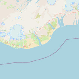
- OpenStreetMap: base map and attribution for the Iceland base map in this article. Markers indicate geographic scale only and do not guarantee same-day navigation, road status, a closure list or arrival time.

This is an L1 entry point for self-drive road-closure decisions. It contains no rental-car or activity CTA: rework current conditions, a safe base and fixed times first, then handle transactions through the relevant accommodation, activity or transport page.