
DRIVE DECISION · F-ROAD
On a map, the highlands can look like a beautiful shortcut. The useful question is whether the route works today with this vehicle, this driver and this weather. Four-wheel drive is only one part of that answer.
ICENAVI DRIVE FIT · F-ROAD
Check the Road, Contract and River Crossings Before You Commit
This editorial score weighs road status, vehicle class, river-crossing fallbacks, daylight, weather and remote support. F-road access, vehicle specifications, insurance and water levels must be checked again for the date you travel.
Start with official open status, then integrate rental terms, vehicle type, weather, and return time into a single decision.
4WD is just the starting point. Specific class requirements, river exclusions, rescue terms, and F-road permissions must be documented item by item.
Water levels, riverbeds, entry, and exit points change. Without experience, a guide or shuttle is usually more reasonable than forcing a crossing.
Highland travel requires buffer for the return drive. Sunny weather does not erase seasonal, wind, or visibility risks.
Service density is low in the highland interior. Communications, fuel, offline data, and retreat points must be written into the plan beforehand.
The value of the highlands depends on all conditions aligning. If any element relies on guesswork, keep the standard road or professional shuttle version as your fallback.
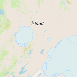
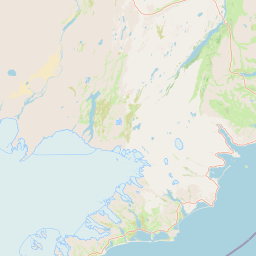
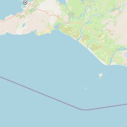
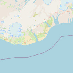
See an “F” Prefix? Treat It as a Highland Road
F-roads are Iceland’s highland-road classification. They often open only for part of the year, have rougher surfaces and may include river crossings or remote sections. That calls for a different check than a Ring Road drive: confirm road status, rental terms and your own capability before you compare distances. A shorter line on the map is not necessarily faster, easier or cheaper. Navigation can draw the route; it cannot judge a river crossing, towing access or the permission written into your contract.
“Can I drive this today?” has four separate answers. Is the road officially open and free of relevant warnings? Does the contract allow the specific vehicle, rather than a generic “SUV” label? Do weather, river levels and daylight leave enough margin to go out and come back? Does the driver understand the conditions ahead? If one answer is a guess, stop there. A prepaid hotel cannot make the road easier.
| Situation you see | Verify first | Do not assume |
|---|---|---|
| Map shows F-road shortcut | Official open status and daily warnings | Shorter distance means shorter time |
| Rented a 4WD | Contract terms for permitted roads, river crossings, and rescue | All 4WDs can cross rivers |
| Sunny summer day | Road surface, wind, water levels, and return time | Sunny weather means no highland risk |
| Want a one-day highland trip | If a guide or Super Jeep is a better fit | Upgrading the rental for the whole trip is always worth it |
See a Barrier? Change Today’s Destination
When a highland road is closed or unclear, do not immediately hunt for another remote line on the map. It may be longer, use more fuel and put you farther from help. If one viewpoint is the day’s only goal, reschedule it, join a guided trip or choose a nearby sight on a standard road. Skipping an F-road can protect the next night’s booking, fixed activities and departure plans.
This is especially relevant on a short trip. A five- or six-day visit to Iceland, or a first winter self-drive, already has to fit the South Coast, accommodation, and flights into a tight schedule. Treating the highlands as essential can push travellers towards an unsuitable vehicle or an unsuitable departure day for the sake of one sight. If you are travelling in April and wondering whether the highlands being closed should tip the balance towards a Ring Road itinerary, check whether April's extra daylight is really enough for the Ring Road; it considers your available nights, activities, and overnight stops separately, without assuming an F-road shortcut will be available. If you have not finalised the basic route, see how to build contingency time into an eight-day Ring Road itinerary and when a route actually requires 4WD; add the highlands only after the main itinerary works without them.
4WD Answers Only One Question: Does the Vehicle Meet the Minimum?
Four-wheel drive, ground clearance, tyres, vehicle age, load capacity, insurance and the actual model answer different questions. Some roads or rental companies require a specific vehicle class, and standard collision waivers may exclude certain damage. A product called “full insurance” does not automatically cover river crossings, the undercarriage, tyres, towing or prohibited roads. Read the terms before pickup and confirm the vehicle class and emergency support in person; an SUV photograph is not evidence.
River crossings demand the most caution. Water levels, current, riverbed, entry, and exit points all change; this is not ordinary standing water. Turn back if you lack experience, cannot read the crossing, see other vehicles retreating, encounter a sudden change in weather, are unsure of the vehicle's capability, or have uneasy passengers. "Since we're here" is never a sound reason to continue. Turning back changes one day; forcing a crossing can leave the rest of the trip consumed by rescue, recovery, and costs. Any river-crossing advice remains subject to current official information, local warnings, and your rental contract. For a reusable pre-departure checklist, see Iceland River Crossings: When to Stop, Turn Back or Use a Guide. It complements this page's vehicle and contract checks by explaining when to withdraw once you are on site.
Official highland guidance even uses the Dacia Duster, Toyota Land Cruiser, and modified Super Jeep as three distinct examples. You do not need to memorise the models; they illustrate that "4WD" is not a single capability level. Vehicles grouped under the same search filter can differ greatly in ground clearance, river-crossing ability, and the roads permitted by their rental agreements. If a rental page says only "suitable for Iceland" without specifying its road and river terms, there is still not enough information to book. When comparing insurance, check undercarriage, tyre, towing and exclusion terms alongside the F-road rules; a reassuring product name does not mean river-crossing damage is covered.
Road Status Is a Timestamped Snapshot, Not a Promise
Umferdin records road conditions from road-authority staff and contractors. It usually updates from 07:00 to 22:00 between October and April and from 08:00 to 16:00 between May and September; automatically measured weather and traffic data can also be wrong. Use the page at each decision point instead of treating a morning screenshot as an all-day guarantee.
Check the road status at three stages: while planning the route; before leaving paved roads or a town with services; and again if you reach a river, visibility deteriorates, or your planned turnaround time approaches. The final check may bring no new information, so by the second you should already have saved your return route, alternatives, accommodation phone numbers, and rental support details. An offline map is useful only if it covers the route you may actually need.
| Check point | Confirm now | Action if data unclear |
|---|---|---|
| Still planning route | If road is open, specific vehicle model, and rental contract permission | Switch to standard road, shuttle, or guide version; do not lock in accommodation yet |
| Before leaving paved road | Latest road status, weather, fuel, return time, and support data | Stop somewhere with supplies and signal, then re-plan |
| River / visibility deteriorates | Whether conditions exceed the vehicle's or driver's capability | Turn back; another vehicle crossing does not make it safe for you |
Give the Highlands Their Own Day
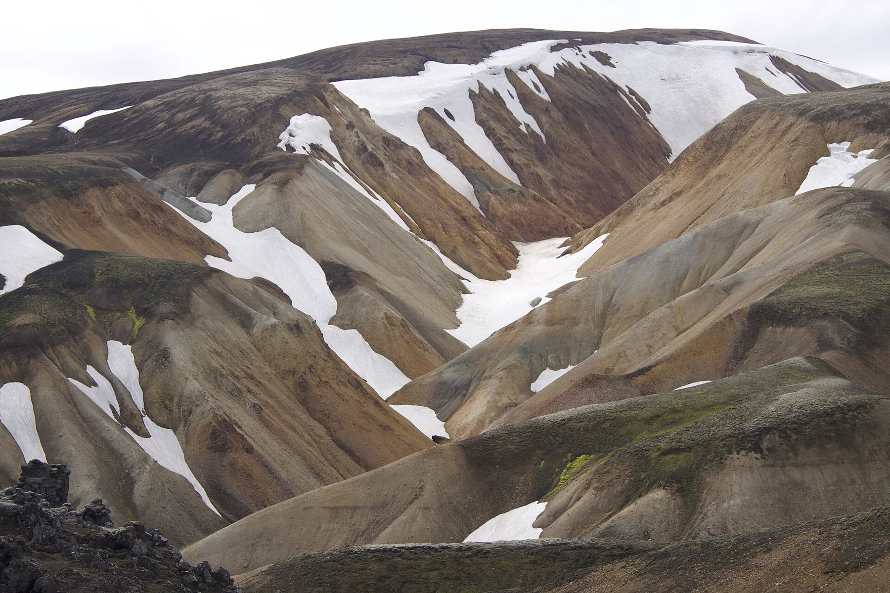
If the highlands are the point of the trip, give them a separate day when you can. Stay the previous night in the right direction, leave the evening free of fixed activities and avoid pairing the return with a long drive to the airport. If the road changes, you can cancel or reschedule without disrupting three hotels and a flight. This is easier to judge calmly than squeezing the highlands between Vík, Jökulsárlón or Akureyri.
If you want to experience the highlands without becoming a highland driver, a guide, Super Jeep, or shuttle may be the more sensible option. They cannot guarantee the weather or that a departure will go ahead, but operators familiar with the terrain take responsibility for assessing the roads, river crossings, and conditions on site. You also avoid upgrading your rental for an entire trip to cover one day. If Landmannalaugar, Þórsmörk, and every F-road still seem equally difficult, use the Iceland Highlands destination page to compare destinations, roads, and transport options. A guide removes the high-risk driving, not the highland experience.
If you are set on Landmannalaugar but do not want to rent a 4WD, do not begin by looking for the easiest F-road. Going to Landmannalaugar without a car compares seasonal buses, Super Jeeps, local short hikes, and return constraints in one place. On some days, the simplest choice is to avoid the extra conditions that come with a 4WD rental when your aim is simply to see the landscape.
Six Questions Before a Highland Driving Day
Is the road officially open? Does the contract permit this vehicle and section? Are there crossings, and do you know when not to proceed? Do you have enough fuel, food, warmth, offline maps and support numbers? If weather changes in the afternoon, can you return while there is daylight and the driver is still in good shape? If you cancel, does tomorrow’s route still work? Re-check official road status, warnings and SafeTravel before leaving; this guide helps frame the questions, not replace a live safety decision.
The best highland itinerary is one you can abandon without ruining the trip. Once the route, rental contract, and weather all support the F-road, it can be a highlight. If they do not, the South Coast, hot springs, or an extra night exploring standard roads are often better choices.
Plan Both Nights Around the Highland Day
The night before should leave time to refuel, organise food and download offline information, while putting you close enough that the morning does not begin with a long paved-road transfer. Afterwards, avoid an early flight, fixed appointment or another long night drive. You need a practical place to return, rest and reassess. If bad weather leaves only two choices—press on or backtrack for hours—the plan needs more room.
Mobile communication is a backup, not a guarantee. Signal may be limited in remote areas, so save road websites, accommodation phone numbers, rental support, insurance details, and contact information for your travelling party on two devices before departure. Download offline maps for the areas you will actually drive. An eSIM can make it easier to check road information and messages, but it cannot guarantee a connection in every valley; see self-drive eSIM backup arrangements for advice on power, offline information, and safety planning.
Q&A | F-Road and 4WD Pre-Departure Checks
Does renting a 4WD mean I can drive every F-road?
No. The road must be open that day, the contract must permit that vehicle and section, and the driver must be able to handle the weather and water conditions. 4WD satisfies only one possible requirement.
For a first river crossing, should I treat the river as a must-see point?
No. Unbridged rivers have changing depth, flow speed, and riverbed; vehicle damage and rescue may not be covered. If you lack judgment and return experience, choose a professional Super Jeep or shuttle, and keep a standard road alternative.
If the official site says the road is open, does that mean it's definitely suitable for self-driving today?
No. Open status does not judge visibility, wind, post-rain water levels, in-car communications, or return buffer for you; before departure, put road information, weather alerts, and rental terms into the same decision.
How should accommodation for the highland day be arranged?
Treat it as an independent theme day, with the two nights before and after close to legal entry/exit directions, reserving early return and cancellation exits. Do not connect a long Ring Road transfer after the highland day, otherwise any road status change will collapse the next day's fixed arrangements.
References
The following data was re-verified on August 22, 2026. Road status, weather, rental terms, and activity arrangements are subject to publication on the departure day.
- SafeTravel Iceland | Highland driving: F-road vehicle differences, unbridged rivers, river vehicle damage, and prohibition of leaving existing roads.
- Icelandic Road and Coastal Administration | Traffic Info: Real-time road status and road notices.
- Traffic Info | Definitions / About: Road data sources, update times, and automatic measurement data limitations.
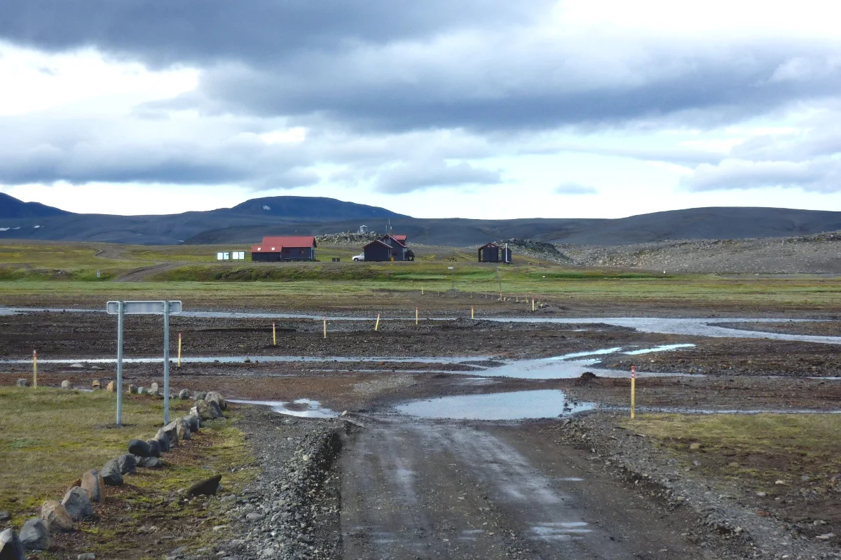
- Ferðafélag Íslands | Nýidalur mountain hut: Hut GPS coordinates, elevation, and summer 4WD accessibility via F26.
- Visit Iceland | Getting Around Iceland: Basic boundary between main roads, 2WD, and highland vehicles.
- Gummao / Wikimedia Commons | Nýidalur, F26: 2010 photo, using CC BY-SA 3.0; this site only performs scaling, WebP conversion, and compression.
