
ICENAVI · WEATHER DECISION MAP
This page will not predict that a particular day will be sunny. It separates the jobs of three official sources: the Icelandic Meteorological Office (Veðurstofa Íslands) explains how the atmosphere is changing, Umferðin Traffic Info explains what is happening on the road now, and SafeTravel explains when travellers should adjust their plans. By the end, you should be able to decide within five minutes whether to leave, delay, shorten the route or save a stop for tomorrow.
ICENAVI PRACTICAL FIT · WEATHER TO ROUTE
Turn a forecast into the next decision, not another attractive weather map
The scores bring together text forecasts, wind and feels-like conditions, precipitation timing, warnings, roads, activity windows and accommodation changes. They are not a same-day forecast and do not replace official road, activity or safety instructions.
After each check, change one concrete action: leave, shorten the route, change the activity, stay at base or move the accommodation. Do not keep refreshing the whole map.
A text forecast, target-area station and time window are closer to your decision than one colour map of the whole country.
m/s is a ten-minute average, not the strongest gust beside the car. Put rainfall timing and feels-like temperature back into actions such as walking from a coastal car park or crossing a bridge.
Warnings explain the impact; Umferðin gives road notices. Neither can decide for you whether your vehicle and that road section are a sensible match.
A calm morning helps only when the previous night's accommodation is close enough, the road works and the meeting time is reachable. A fixed activity cannot be inserted just because one patch of the map is clear.
Mark the farthest stop as the first one to cut, protecting a safe bed and a base that does not require a crosswind drive. That is where weather information genuinely changes a trip.
Three screens, each with one job
Many travellers open the three sites in three tabs and still cannot decide whether to leave, because they read “weather” and “road” as one thing. The Meteorological Office may show clear conditions while the wind pushes rain onto the coast; a road may be temporarily open without making a walk from the car park to Reynisfjara comfortable. Separate the jobs first, and the information becomes useful.
| Screen | It answers | What to read | What it cannot guarantee |
|---|---|---|---|
| Icelandic Meteorological Office Veður | How wind, temperature, precipitation and warnings are changing | Text forecast, target-area station, wind direction and time window | That a waterfall entrance, car park or boat departure will be open |
| Umferðin Traffic Info | Road notices, works, closures and transport-service information | The road section you will actually drive, not just the national overview | That your vehicle, walking route or activity refund is suitable |
| SafeTravel ICE-SAR | Travel conditions, outdoor warnings and a safety framework before departure | Alerts, Travel Conditions, Driving and, when needed, App location | That a booked activity will be rescheduled or weather will follow your itinerary |
For how road information feeds into a self-drive plan, read how to read Iceland road-condition websites. This page answers the question before that one: how does weather data change today's target and departure time?
A wind-speed number is not a go / no-go button
The Meteorological Office displays wind speed in m/s, while the map arrows show direction and speed. The figure is a ten-minute average, not the maximum gust beside your car. That distinction matters: the same number means different things on an inland plain, beside a coastal car door, on a bridge or at higher ground. Do not copy a claim that “above X you cannot drive” across Iceland; roads, vehicle shape, crosswind direction, visibility and drivers all differ.
Read rainfall by time, not colour alone
Precipitation maps show one-, three- or six-hour accumulation depending on the forecast length. In other words, a map number does not necessarily equal the rain over your head in the next hour. The useful itinerary question is: will it rain during the time you need to be out of the car? You can wait out a brief shower over lunch; persistent rain may require a new plan for waterfalls, Reynisfjara and a long walk.
| What you see | Ask first | Possible action | Common misread |
|---|---|---|---|
| Short rainfall peak | Does the peak land during the walking or meeting window? | Move a short outdoor stop before or after it, and do the cancellable indoor activity first | Cancel the entire day after seeing one red time slot |
| Rain continues across several slots | Can the road, visibility and your companions' shoes and socks take the full stretch? | Shorten the cross-region drive and keep a retreat option near your accommodation | Add one umbrella and copy the sunny-day route |
| Snow / sleet | Have road conditions and the activity operator updated at the same time? | Check Umferðin and the supplier notice before deciding whether to drive | Assume a temperature above zero means the road must be dry |
If the waterfalls are your reason for leaving, the South Coast sights worksheet connects parking, coastal distance and the order in which to cut stops. If you simply want a comfortable wet-weather day, replanning a rainy day without breaking your accommodation is more dependable than chasing a small dry patch on the map.
Put weather back on the map: one shower is not evenly distributed
Icelandic weather data easily becomes a national thumbnail on a phone, so travellers read “rain in the south” as “cancel the whole country”. In practice, check each section of today's route separately: the road out of Reykjavík, the Vík coast, the south-east shore at Jökulsárlón, and the Mývatn / Húsavík area in the north. The real OpenStreetMap base below marks six locations; the labels remind you which section to check and are not intended for same-day navigation.

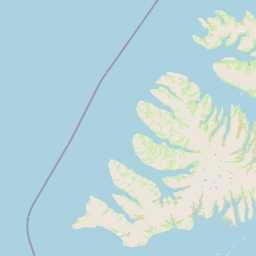
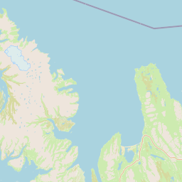
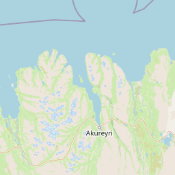
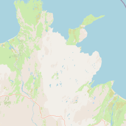
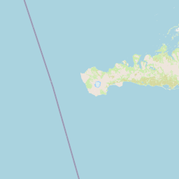
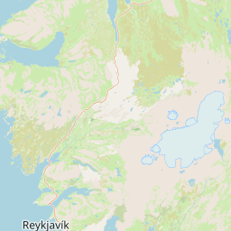
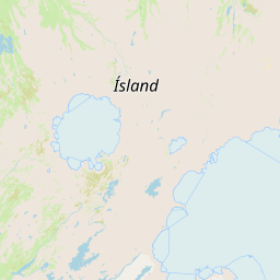
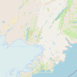
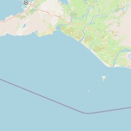
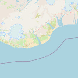
(Reykjavík)Text forecast before leaving townVík
(Vík)Coastal wind and visibilityJökulsárlón
(Jökulsárlón)South-east route sectionAkureyri
(Akureyri)Northern transferMývatn
(Mývatn)Snow and activity windowHúsavík
(Húsavík)Harbour activities
Warning colours signal impact; they are not a traveller's scorecard
The Icelandic Meteorological Office uses an impact-based colour system. Yellow may indicate local impact or a need for precautions, while orange and red indicate greater effects on transport, public services or safety. In practice, do not send your companions a screenshot of a colour alone. Open the warning text and check which forecast area and time it covers, and whether it actually includes your road section. A lack of colour does not mean wind and rain carry no cost for your plans. For how to decide when to stop, change route or return to base after a warning appears, see the five-minute Iceland safety information routine.
| Signal | Do first | Route plan | Do not infer |
|---|---|---|---|
| No warning | Still read the text forecast, roads and activity operator notice | Plan around wind, rain, visibility and your companions' ability today | That every trail, coast and boat departure is operating normally |
| Yellow warning | Confirm the affected area, time and non-refundable bookings | Shorten the cross-region drive and keep an indoor or accommodation option you can retreat to | That the whole country is closed, or a larger car makes the route safe |
| Orange / red | Prioritise official warning text, road notices and the supplier's plan | Put safety and staying at base before completing sights | That a refund will happen automatically or that another area is definitely available |
That is why I would not turn “no red warning today” into a sentence telling you to leave with confidence. How to protect a full day after an activity cancellation covers refunds, rescheduling and accommodation boundaries after a notice arrives. This page covers the earlier decision: how not to lock the entire day onto one road.
Three five-minute checks a day: turn forecasts into a working itinerary
| When | Read | Change | Keep as evidence |
|---|---|---|---|
| Night before | Next day's text forecast, warning area and road sections you expect to drive | Breakfast, fuel stop and the first sight you can cut | A screenshot showing the forecast time and the operator's booking message |
| Before departure | Latest text, target-area station, Umferðin notices and SafeTravel | Departure time, order and whether to switch to a shorter route | The update time, not just the colour on a weather map |
| Before lunch / transfer | Afternoon wind and rain trend, plus the next accommodation or meeting point | Final stop, dinner and check-in buffer | Mark the cut sight as a candidate for tomorrow |
You do not need to refresh the national forecast every hour. Read the information tied to the action before you leave base, cross a region or walk from the car to the coast. Weather websites can create the illusion that more checking automatically means more safety. The useful habit is to change one concrete decision after each check.
Three real situations: one forecast, three answers
Reynisfjara on the South Coast. Light rain in Reykjavík does not mean the wind and spray at Vík will feel the same. If Reynisfjara is only the third stop today, put it behind the road and coastal warnings; do not leave companions near dangerous water for a photograph. The Vík destination page shows how the black-sand beach, waterfalls and accommodation location constrain one another.
A Jökulsárlón activity day. The Meteorological Office may show a steadier morning while the booking message requires early arrival. “The morning is better” matters only if you stayed close enough the night before and the road is viable. Glacier-lagoon boats and ice caves run at fixed times; they are not stops you can insert whenever a small clear patch appears. The activity meeting-point page separates the meeting address from the direction of your accommodation.
Mývatn / Húsavík in the north. Northern stations may show a completely different pattern of wind and snow from the south. If you are transferring from Akureyri to Húsavík, check the road and harbour activity times before deciding whether to add a volcanic crater. The Mývatn and Húsavík destination page helps you group sights after the conditions are workable, instead of filling the list first.
You need a connection, but a connection is not safety itself
If you will check the Meteorological Office text, road notices, SafeTravel and activity-operator messages from the car each day, an eSIM is a practical tool, not a travel accessory. Estimate whether you will share a hotspot, load maps for long periods or send photos. Hotel Wi-Fi can handle evening planning; it cannot guarantee a signal when you need to change route at the roadside. The Iceland self-drive eSIM decision page compares coverage, activation day and hotspot use. Treat access to current information as part of the itinerary.
If same-day information may change your route, arrange the connection first
These links lead to checked Iceland eSIM product pages where you can compare validity, data and activation. An eSIM does not make roads or weather safer; it removes one connectivity problem when you need official information. Compare the terms for your phone model, data needs and departure date.
Ten questions before departure: each one needs an action
- Am I reading the target area's text forecast, or only Reykjavík's weather?
- Does the automated map differ from the text forecast? If so, have I used the text as the deciding source?
- Which side will the wind affect when I open the door, leave the car, cross a bridge or walk the coast?
- Is the precipitation a short peak, or will it cover the whole walking and meeting window?
- Which road section will I actually drive, and does Umferðin have a matching notice?
- Does a SafeTravel warning cover my area, time and activity?
- If the afternoon worsens, which sight can I cut without unravelling the day?
- Is the next accommodation or activity non-refundable, and should I notify the supplier early?
- Can my companions' shoes, stamina and tolerance for wind handle the same stop?
- Have I recorded the update time, or only saved a screenshot with no date?
ICENAVI · READ THE SKY
The end point of weather data is not knowing that it will rain; it is knowing which part of today to leave out.
You can keep one sight, change the order, leave an hour later or stay at base. A resilient Iceland itinerary is not one with every box ticked; it is one that still has a workable next choice when the weather turns.
References
References
- Icelandic Meteorological Office · Instructions on using station forecasts (how text forecasts and automated maps differ, short-range forecasts and station reading).
- Icelandic Meteorological Office · Instructions on using wind, precipitation and temperature forecasts (m/s wind speed, direction, precipitation accumulation periods and forecast legends).
- Icelandic Meteorological Office · Impact-based colour-coded warnings (impact-based warning colours and forecast time frames).
- Umferðin · Traffic Info (road notices and the traffic-service portal).
- SafeTravel Iceland · Official travel conditions (weather, roads, outdoor conditions, warnings and the SafeTravel App).
- © OpenStreetMap contributors (the base map and public location data used in this direction map).
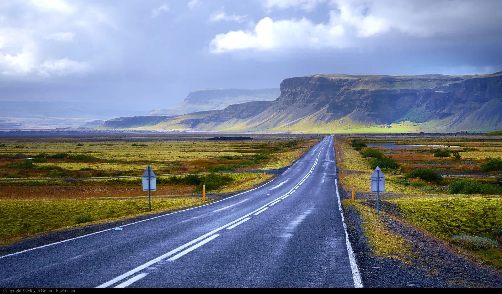
- Hero image: Moyan Brenn / Wikimedia Commons, Iceland (9997818635), CC BY 2.0; this site only resized and compressed it to WebP. It does not represent same-day weather, roads or visibility.
Information compiled on 5 September 2026. Forecasts, warnings, roads, activities, signal and cancellation terms can change; before departure and whenever you need to change route, use the latest official pages, booking confirmations and on-site notices.
Q&A · Check before you leave
The weather website says light rain. Can I follow the original route?
Do not read the precipitation chart alone. Check wind speed, gusts, visibility, regional warnings and road conditions as well. The wind at the South Coast and Jökulsárlón may feel entirely different from the capital's page.
How far ahead should I read the forecast?
Start with three time windows: departure, the farthest point and the return. Then verify them against same-day roads and warnings. A forecast is a condition, not permission to travel.