
ICENAVI · SAFETY DECISION MAP
This page separates safety information into four layers. The Icelandic Met Office shows how the atmosphere is changing; Umferðin covers the roads you will actually use; SafeTravel covers travel conditions and outdoor warnings; signs and staff on site decide whether you may approach now. Only then comes 112: it is not a road-information helpdesk, but the emergency route for telling rescuers where you are and what has happened.
If a five-minute check cannot find a way out, do not force the planned route
Read the target area's written forecast, then check the roads you must use and SafeTravel warnings. Once there, on-site lights, barriers, signs and staff instructions take priority over photographs, navigation apps or “someone was just walking there”. If any one source removes today's margin for error, shorten the plan, stay at base or postpone it. Call 112 for a real emergency; if the call will not connect, use the backup contacts and online channels listed on the 112 page.
ICENAVI SAFETY · RISK FIT
How much safety margin does today's route have?
The score checks information freshness, exit options, preparation, fixed commitments and ways to call for help; it is not a road-status, medical or rescue rating. A zero in any category cannot be cancelled out by higher scores elsewhere.
The Met Office, Umferðin, SafeTravel and on-site instructions answer different questions; four layers count as evidence only when their time and place match.
A safe turn-back point, daylight and a place to stay give you room to remove a remote stop; a barrier or a plan that depends on night driving takes this category straight to zero.
Footwear, warmth, fitness, health and activity requirements must match the actual section; fatigue, hypothermia or injury cannot be repaired with photographs or determination.
A buffer before an activity meeting, hotel check-in and departure lets you postpone for weather or closures; an inflexible deadline magnifies risk.
Save 112, your Travel Plan, offline location data, a power bank and usable communication channels in advance, so an incident does not begin with guessing whom to contact.
This total is not permission to follow the itinerary; it reflects whether you can verify, stop, notify someone and retreat to a serviced base within five minutes.
Four information views, four questions: one image cannot answer them all
A weather site shows how wind and rain are changing, but not whether you can safely open the car door beside a waterfall. A road page may show a notice for a section, but it cannot decide whether your companions can finish a wet trail. For a set order in which to check wind, precipitation, warnings and road notices, see how to read Iceland weather websites; this page connects that information to the decision to stop.
| Information layer | It answers | Your action | Do not infer |
|---|---|---|---|
| Icelandic Met Office Veður | How wind, precipitation, temperature, warning areas and timing are changing | Compare it with when you will get out, cross a bridge, board a boat or change location | That a particular attraction entrance is open |
| Umferðin Traffic Info | Closures, works, accidents and service notices on roads you must use | Write down each road and find a safe turn-back point for each section | That your vehicle, tyres or driving condition are suitable |
| SafeTravel ICE-SAR | Outdoor conditions, travel warnings, Travel Plan and app tools | Bring the warning's area, activity and companion requirements back to today's plan | That no warning means the original itinerary is safe |
| On-site Signs / staff | The current boundary, lights, hazard line and entry instructions | Stay at the designated viewpoint and change route or leave according to the latest instruction | That a social-media photo still represents the present |
“Open” and “worth doing today” are different questions
A road without a closure does not mean you must complete it. Put the route through four checks: is the information current, can you turn back, are your companions ready, and can the next fixed commitment absorb a delay? When one reaches zero, the sensible move is usually not a longer detour but a change to a base day.
| What you see | Protect first | Shorter version | Do not compensate with |
|---|---|---|---|
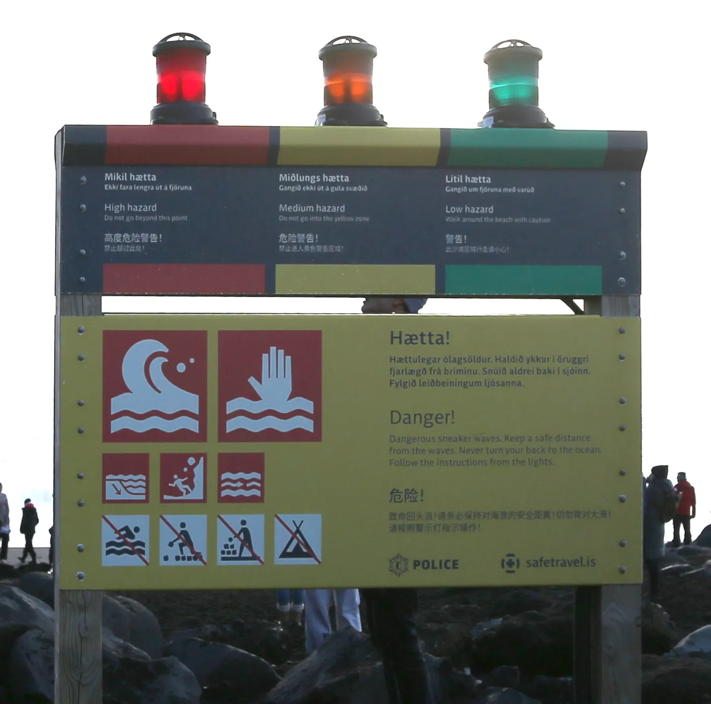
| Yellow / orange / red light at a black-sand beach | Distance from the sea and cliff edge | Stay at the designated viewpoint and follow on-site lights and staff | “The waves look small” or moving closer for one photograph |
| A closure around a volcano or lava area | The marked route and return passage | Use an officially open viewpoint or return to a Reykjanes base | Crossing a barrier or following an old photograph to find an entrance |
| The road is open but wind and rain are worsening | The next serviced town and accommodation | Remove the remote stop and check in early, or stay in Reykjavík / Vík | Higher speed, night driving or treating a 4WD as a permit |
| A slippery trail and tired companions | Footing, warmth and the return time | Walk only to the marked viewpoint and leave the final section | Splitting up, leaving someone behind or hurrying them for a photograph |
Reynisfjara's lights are worth remembering: SafeTravel says red means the beach is closed and visitors must remain in the designated viewing area. Orange is not “fine if you are a little more careful” at the water's edge. To see how this changes accommodation and the pace of the South Coast around Vík, read the Vík decision page; removing the black-sand beach does not cancel the whole South Coast day.
A map is not navigation; it draws where to retreat
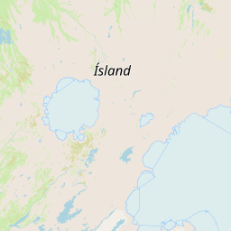
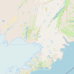
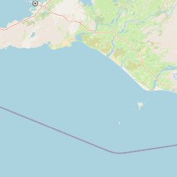
The map below places six common safety decision points on a real OpenStreetMap base. It does not show same-day closures or calculate an ETA. Its job is to remind you that a black-sand beach, volcanic peninsula, Þingvellir and a glacier edge carry different risks, while a hotel base and phone signal are not one abstract “Iceland”.
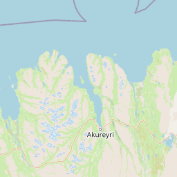
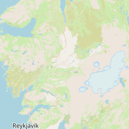
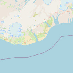
(Reykjavík)Information / accommodation fallbackReykjanes Peninsula
(Reykjanes)Volcano / closure zoneÞingvellir
(Þingvellir)Trail / water activityVík
(Vík)Black-sand beach / South CoastSkaftafell
(Skaftafell)Glacier edgeHúsavík
(Húsavík)Sea activity / harbour
112 practical card: prepare the sentence before confusion starts
Official 112 guidance says the essentials are Where, Who, What, When: where you are, who needs help, what happened and when. Do not delay because you think it is “not serious enough”; the official guidance also says to contact 112 if you are unsure. Once connected, do not hang up yourself—let the operator decide whether the information is sufficient.
Save this before leaving
Emergency: Iceland 112.
If the call will not connect: the 112 page lists alternative numbers in Iceland, online chat and the 112 App; the app can send your location and saved information while you contact an operator.
Open the official 112 contact options · See the 112 Iceland App
| Situation | Use first | Information to prepare | Do not |
|---|---|---|---|
| Injury, hypothermia, being trapped or loss of consciousness | 112 | Location, nearby landmark, number of injured people, current condition and last place they could move | Leave a safe position to take a photograph or find a stronger signal |
| Unable to make a phone call | 112 App / official online channel / official backup number | Name, phone number, GPS location, time of incident and a way to reply | Send only a map screenshot with no date |
| Non-emergency health concern | Health services listed under “What can I do?” by official 112 | Symptoms, time, medication, accommodation and reachable town | Treat 112 as a general travel directions line |
If you are hiking, entering the highlands or heading somewhere without stable signal, SafeTravel suggests considering a Travel Plan. It lets a trusted person know your route; it does not register you as “certainly safe”. For how a power bank, dry bag, shoes and socks should match the weather, revisit the Iceland packing list; if an activity notice changes after you have assembled, see how to replan after an activity cancellation; medical costs, road liability and cancellation fees need separate checks in Iceland travel insurance loss layers.
Connectivity is a safety tool, not safety itself
SafeTravel explicitly includes a phone, spare power bank and app in outdoor preparation. It also warns that coverage is usually better on the coast, while narrow canyons, deep valleys and the highlands may have blind spots. Buying an eSIM does not make a closed area accessible, and hotel Wi-Fi cannot check the latest warning for you at the roadside. Decide first whether you will check the Met Office, road and activity notices each day, then weigh data, hotspot use and activation dates.
If you need to check information on the road, make connectivity part of the itinerary
These are two routes to the specified Iceland eSIM product pages. They cover the “can I get online to check official information?” box only; they do not change road, sea or volcanic warnings. Before payment, compare phone compatibility, validity, data, activation and refund terms.
ICENAVI Risk Fit: safety is not a bravery score
Use four checks to see whether today still has room for error. This is not a medical, rescue or road-status rating; it turns “it looks possible” into questions you can answer one by one. A zero in any category should not be offset by high scores in the other three.
| Dimension | 2 points: evidenced | 1 point: check again | 0 points: stop first |
|---|---|---|---|
| Information freshness | Written forecast, road information, SafeTravel and on-site timing match | Only a screenshot is saved and its update time is unclear | Information conflicts with the sign on site |
| Reversibility | Every section has a safe turn-back point and a place to stay | Changing route adds distance but there is still daylight | The plan depends on night driving, crossing a closure or leaving a companion |
| Companion readiness | Shoes, clothing, fitness, height/health and activity requirements match | One item of equipment or one condition is unconfirmed | Someone is cold, injured, motion-sick or unable to return safely |
| Fixed commitments | There is still a buffer before the activity, accommodation or flight | A delay will eat into the next plan, but the supplier can be notified | Pushing on would miss both a non-refundable activity and departure |
Ten questions before leaving: if you cannot answer, pause
- Am I checking the destination area, rather than only Reykjavík's weather?
- Have I written down the road name, number and update time for every section I will drive?
- Do SafeTravel's warnings cover my place, time and activity?
- Do on-site lights, barriers or staff instructions carry more weight than an old photograph?
- If I do not approach today, which base can I keep for tomorrow?
- Do my companions' shoes, socks, fitness, health and warmth genuinely suit this section?
- Do the activity meeting note, cancellation terms and hotel check-in time conflict?
- Are my phone, power bank, eSIM/roaming and offline location data usable?
- In an emergency, can I explain Where, Who, What and When clearly?
- Am I continuing because the information supports it, or because I have already paid?
ICENAVI · SAFETY FIT
Real safety is not completing the most today; it is having a way out at every point.
Turn safety information into the next action: which page to check, where to stop, whom to notify and where to sleep tonight. Weather and roads change, and on-site signs change too. What you need to keep is not an answer that is always right, but a process you can reassess within five minutes.
Q&A | Putting the five-minute safety check into practice
Can one weather app decide whether I should leave?
No. Compare the destination, road conditions, warnings, on-site signs and your own exit options; calm weather in town does not make a black-sand beach or highland equally safe.
Should I go because I have already paid for the activity?
Payment is not a reason to continue. If the site, road or condition of your companions does not support it, use the cancellation terms and an alternative base to replan while keeping a safe return option.
References
References
- SafeTravel Iceland | Official travel conditions (ICE-SAR travel conditions, warnings, outdoor and Travel Plan entry points).
- SafeTravel | Outdoors in Iceland (rapid weather changes, communication, SafeTravel App, PLB and outdoor preparation).
- SafeTravel | Black Beach Safety (Reynisfjara lights, waves, closure and viewing area).
- SafeTravel | 2G and 3G Phase-Out (2026 communications transition and 112 backup methods; recheck before departure).
- SafeTravel | Travel Plans (share a route with someone you trust to assist emergency location).
- 112 Iceland | Contacting 112 (Where/Who/What/When, staying on the line, app/online channels and alternative numbers).
- 112 Iceland App (sending location and saved personal information).
- Umferðin | Traffic Info (road notices and traffic-service entry point).
- © OpenStreetMap contributors (real base map and public location data used here).
- Hero image: Strwiki2017 / Wikimedia Commons, Reynisfjara Beach Hazard System, CC BY-SA 4.0; the site only resizes and compresses it to WebP. The photograph helps explain lights and on-site signs, not same-day sea or closure conditions.
Information compiled on 5 September 2026. Warnings, roads, sea conditions, volcanic conditions, signal, activities and medical services can change; before departure and when changing route, use the latest official pages, activity voucher, on-site signs and 112 instructions.