
ICENAVI ACCESS FILE · ÞÓRSMÖRK ROUTE
Þórsmörk sits between Eyjafjallajökull and Mýrdalsjökull, but the valley is not reached by an ordinary sightseeing road. FÍ describes difficult crossings towards Langidalur and treats Fimmvörðuháls as a separate highland undertaking. Choose the access plan first; only then can you judge whether a one- to four-hour walk belongs in the day.
ÞÓRSMÖRK · ACCESS DECISION
Choose whether the landscape or the highland driving is the point
Scores combine public trail information, transport responsibility, meeting and return logistics, F249 river conditions, weather escape room and the route after the activity. They are not a safety rating or supplier ranking. Recheck roads, timetables, availability and cancellation terms for your dates.
With a bus or guided trip handling the short walk, Þórsmörk can make a complete themed day; treating it as a quick South Coast stop distorts the time budget.
Valahnúkur is about 4 kilometres and 1–2 hours: enough to see the shape of the valley without committing to a long hike.
Buses, Super Jeeps and guided trips do not share the same pickup points, stop lengths or final returns. Match every line of the confirmation before paying.
You can shape a short walk around the bus's stop time; add the time for getting off, gearing up, photos, breaks and waiting, rather than copying trail kilometres alone.
F249 rivers, wind, visibility and road openings can change the entrance. Without same-day confirmation, the ability to turn back or cancel matters more than having already reached the South Coast.
At about 25 kilometres and 8–12 hours, the route also involves starting at Skógar, elevation, weather and transport out at the other end. A day-tour timetable cannot replace that plan.
Four access plans, four different kinds of day
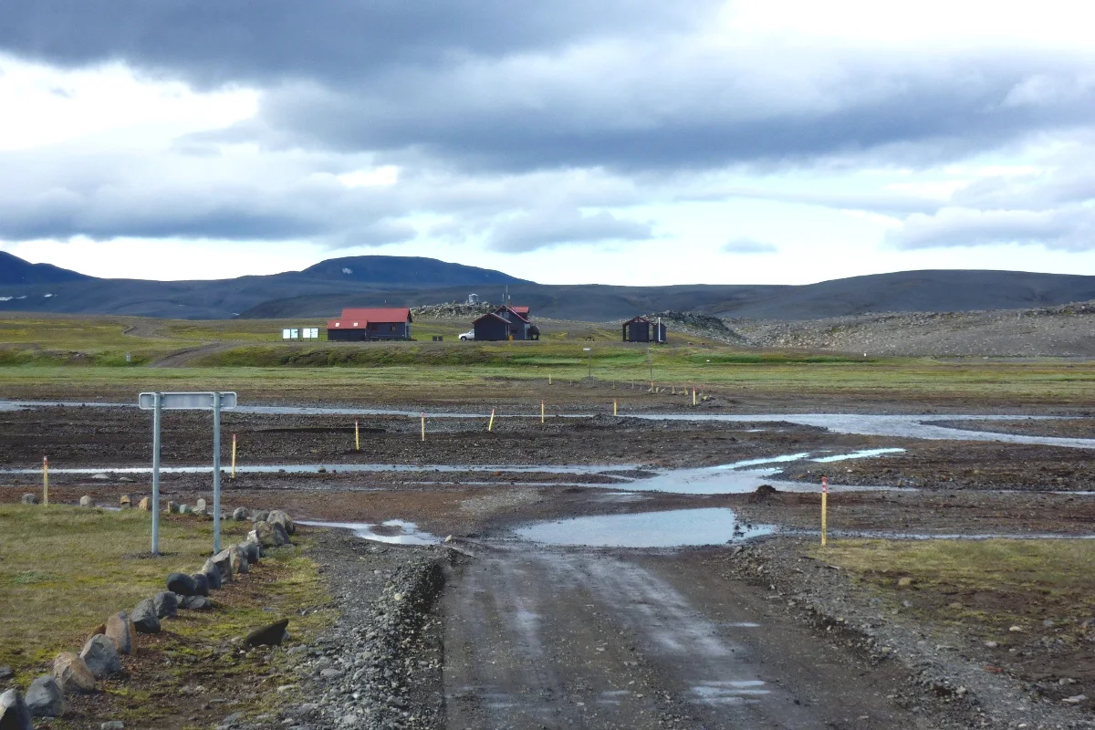
Search for “Þórsmörk day tour” and short walks, guided trips, Super Jeeps and Fimmvörðuháls may appear on the same page. They consume different kinds of time. A bus solves the journey into the valley; a guide takes on access, rivers and route judgement; self-drive leaves that responsibility with the driver; the 25-kilometre trail turns the day into an endurance and weather-management project. Identify the job you actually want to complete before comparing products.
| What you want to do | More suitable access | The constraint you carry | Practical reading |
|---|---|---|---|
| Take a short valley walk and see the birch woods and mountains | Seasonal bus to Langidalur or a named camp, or a guided trip with clear transfers | Timetable, final return, trail conditions and phone signal | For a first visit, start with a bus or guide; do not make the rental car the default answer |
| Make the highland road itself the driving experience | A 4×4 self-drive that fits the rental contract and same-day road conditions | F249 rivers, road opening, river experience, insurance exclusions and room to turn around | Four-wheel drive alone is not enough; if one condition is uncertain, change the transport plan |
| Complete Fimmvörðuháls from Skógar to Þórsmörk | Trail transfers, hut or campsite planning and a stable weather window | About 25 kilometres, 8–12 hours, elevation and highland weather | This is a separate hike and should not be inserted into an ordinary South Coast day tour |
| Add a free highland attraction at the last minute | There is no genuinely suitable shortcut; rebuild the day first | Transport can consume South Coast time, dinner and the next night's sleep | Free does not mean low-cost; Þórsmörk is a poor candidate for “while we're nearby” |
The map shows the valley; it cannot arrange your return
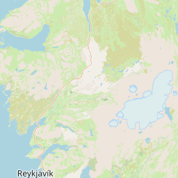
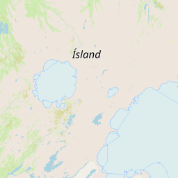
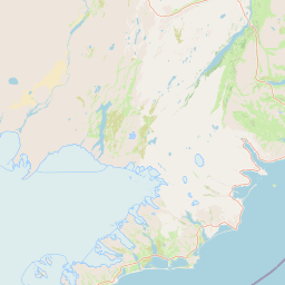
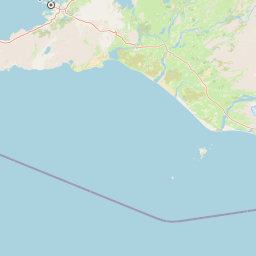
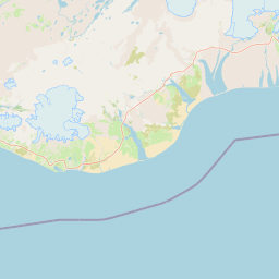
Reykjavík, Hella and Þórsmörk look like a line heading south-east on a map, but the day has three stages: lowland meeting point, highland transport and walking inside the valley. Hella and Hvolsvöllur can work as lowland bases or cancellation fallbacks; Skógar is the other end of Fimmvörðuháls, not a short-walk entrance inside Þórsmörk. That is why fitting Þórsmörk into a South Coast waterfall day often leaves you discovering in the afternoon that there is no comfortable way out.
If your day starts in Reykjavík, a long day tour usually concentrates transport responsibility with the supplier. Staying in Hella or Hvolsvöllur the previous night gives you a chance to check weather and timetables from the lowlands first. That difference is more useful than simply counting kilometres from the capital. For another highland destination, begin with the Icelandic Highlands guide, then read Landmannalaugar without a car; the two pages explain why highland transport responsibility cannot be copied from one destination to another.
A short hike still starts after you reach the valley
Short routes show why Þórsmörk does not require a long-distance hike on arrival. Valahnúkur is about 4 kilometres and 1–2 hours, moderate; Tindfjallahringur about 9 kilometres and 3–4 hours, moderate to challenging; Rjúpnafell about 15 kilometres and 6–7 hours, very difficult; Réttarfell about 8 kilometres and 3–4 hours, moderate to challenging. These are trail-working times, excluding the bus, getting ready, photographs, breaks, wrong turns and waiting for the return.
| Route / purpose | Checkable scale | Who will find it right | Time people forget |
|---|---|---|---|
| Valahnúkur short walk | About 4 km; 1–2 hours; moderate | First-time visitors who want to understand the valley's shape | Bus drop-off to trailhead, photographs and the meeting buffer back at Langidalur |
| Tindfjallahringur | About 9 km; 3–4 hours; moderate to challenging | Travellers with half a day who want more than photographs but not a full-day hike | Changing highland weather, wet ground and a missed return bus |
| Fimmvörðuháls | About 25 km; 8–12 hours; Skógar to Þórsmörk | Experienced hikers with transport and a stable weather window arranged | About 1,000 m of elevation gain, snow, wind, rivers and transport out at one end |
| Treating Þórsmörk as a South Coast stop | There is no universal “stopover” duration | Almost nobody; it is the wrong question | Highland transport is part of the activity and cannot be estimated like a waterfall stop |
Fimmvörðuháls is generally more suitable from early July to early September, while its average opening period is roughly late June to mid-September; snow, wind, roads and the season can change the actual conditions. Use these dates to create a checking window, not as a promise that the trail will be open on your departure day. Outside that window, a guided alternative or different route may be more useful than a page that still accepts bookings.
Self-drive leaves the river decisions with you
FÍ's advice for Langidalur is direct: the river crossings are difficult and a bus is usually preferable; self-driving requires an experienced driver. SafeTravel also warns that not every 4WD suits every F-road, and water damage is not automatically covered by ordinary insurance. Together, those points are enough to reject the simplified answer that renting a larger vehicle solves the problem.
The real cost of self-drive includes waiting for road updates, getting written permission from the rental company, understanding your vehicle's clearance and wading limits, and being willing to turn around before the river. When companions treat the highland day as a promise to reach the furthest point, the driver loses room to stop safely. If you want the valley landscape rather than the river-crossing experience, a bus or guided trip gives you back more attention.
The goal is a short walk, the group does not want to take on F249 rivers, and everyone can accept a seasonal timetable and fixed return. Confirm the pickup point, stop length, final return and cancellation terms before paying.
You want to see more of the valley in one day or want a guide to handle road judgement. Match the transfer area, minimum group size, age rules, walking and weather arrangements line by line; do not stop at the words “4×4”.
Road conditions are unconfirmed, the rental terms are unclear, there is no river experience, or the next day has a non-negotiable activity. If any one applies, cancelling self-drive preserves an exit from the whole trip rather than showing weakness.
Connect the activity without flattening the Highlands into a tour
The exact GetYourGuide page currently available for checking is a Reykjavík departure to Þórsmörk with a mountain hike. The page itself can change its pickup, duration, options, minimum age and cancellation terms by date. It suits travellers who have decided to hand transport responsibility to a supplier; it does not prove that a self-drive route works. If this is the version you want to examine, read How to assess the private Þórsmörk day-tour product and match the ten hours, Valahnúkur walk and return to the city line by line.
There is no generic Klook or KKday search link here. No checked direct page currently points clearly to an exact Þórsmörk product; sending readers to a platform homepage would add another search without closing the decision. If a matching date, destination and named product are verified later, the corresponding CTA can be added. An activity page should not endorse an unnamed product.
Do the transport, walking load and date now line up?
Check the named Þórsmörk day trip from Reykjavík
This is the checked GetYourGuide product entry, not a generic search result. Reconfirm the transfer area, exact duration, mountain-hike difficulty, minimum age, weather arrangements, cancellation deadline and return time before payment; price, availability and activity details follow the product page for your selected date.
Give Þórsmörk a real place in the itinerary
On a two-day, one-night South Coast plan, Þórsmörk usually should not share a day with Skógafoss, Reynisfjara and a glacier activity. If wind or river conditions delay the Highlands, dinner and sleep are usually sacrificed before the pin on the map. To see how the lowland South Coast version can stop earlier, return to the South Coast destination guide and test the next day with the two-day South Coast itinerary.
If Þórsmörk is the theme of the day, staying in Hella or Hvolsvöllur the previous night reduces the early long drive from Reykjavík and gives you a chance to check lowland weather and transport. If the product already includes Reykjavík pickup, moving hotels may not save time. Choose accommodation to support the transport plan; do not let a non-refundable room force you into F249.
Fimmvörðuháls also cannot be folded into an ordinary Þórsmörk day trip. It starts at Skógar and still requires an exit from the valley; being delivered to the trailhead in the morning does not get you back to your accommodation that evening. If you genuinely want to complete the route, check huts or campsites, luggage, transfers, weather and fitness separately. A “day tour” title is not a complete long-distance hiking plan.
Four checks before departure
- Roads and rivers: Check the F249 and relevant road status for your departure day, including the source and update time. Do not use last season's trip report in place of same-day information.
- Transport and return: Write the bus pickup, final return, guided transfer area or self-drive turn-around point on one line and save an offline copy.
- Trail and people: Plan around the slowest person in the group. Official trail times are not door-to-door times; with older travellers, young children or anyone new to highlands, favour the short and reversible option.
- Next-day deadline: If tomorrow includes a glacier activity, ferry, early flight or long transfer, write the latest acceptable arrival at your accommodation first, then work backwards to see whether Þórsmörk still fits.
Þórsmörk is worth considering, but its value is not another “must-see” stamp for the South Coast. Its appeal is a valley that asks you to respect transport, rivers and weather. Choose the right entrance and a short walk can feel complete; choose the wrong one and a beautiful view becomes return-trip anxiety. Answer “how will we get there?” before asking “how long should we stay?”
Q&A · Should you drive, take a bus or book an activity to Þórsmörk?
Can I visit Þórsmörk without driving?
Yes, but first match the seasonal bus, named transfer or guided trip to its return time. A highland entrance and a lowland attraction cannot share one generic transport plan; missing the last service can change your accommodation.
Does a Super Jeep guarantee access in any weather?
No. A modified vehicle can reduce your responsibility for driving through water, but roads, river levels, visibility and the guide's decision can still shorten, reroute or cancel the trip.
Can a Þórsmörk day trip replace Fimmvörðuháls?
Not directly. A day trip usually handles access, a short walk and the return; Fimmvörðuháls is a separate long-distance route with two-end transport and fitness planning.
Should I stay in Hella or Reykjavík?
That depends on the access plan. If the activity includes Reykjavík pickup, moving hotels may not save time; if you need an early self-drive or seasonal bus, Hella or Hvolsvöllur may reduce the morning pressure.
References
Prepared 7 September 2026. Highland roads, river levels, trail openings, bus timetables, activity availability and weather change by date; recheck the official pages and your confirmation before departure.
- Ferðafélag Íslands (FÍ) · Þórsmörk and Fimmvörðuháls (location, bus advice, river crossings, and distances and times for Valahnúkur, Tindfjallahringur, Rjúpnafell and Réttarfell).
- FÍ · Fimmvörðuháls (Skógar to Þórsmörk, about 25 kilometres, 8–12 hours, opening period and highland conditions).
- SafeTravel · Highland driving (F-roads, 4×4 vehicles, river crossings and insurance limits; it does not replace a departure-day road check).
- GetYourGuide · From Reykjavík: Day Trip to Þórsmörk with Mountain Hike (named activity entry; pickup, duration, options and cancellation terms follow the product page for the selected date).
- OpenStreetMap contributors (base map and public geographic data; plotted locations do not replace navigation or road assurance).
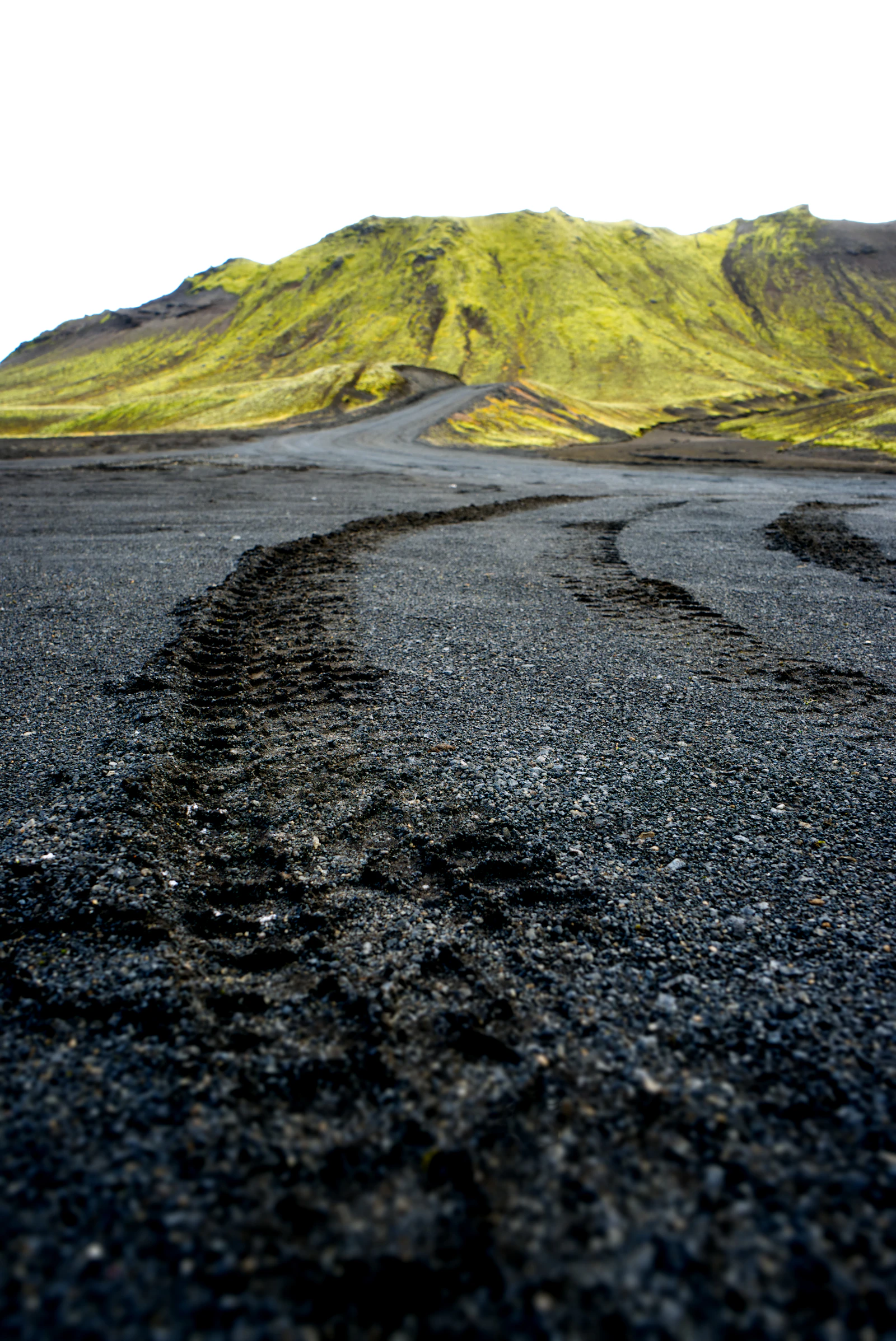
- Hero and in-article highland images: F-road and highland landscape photographs used to explain terrain scale; they do not show Þórsmörk's road, river or activity conditions on the day.