
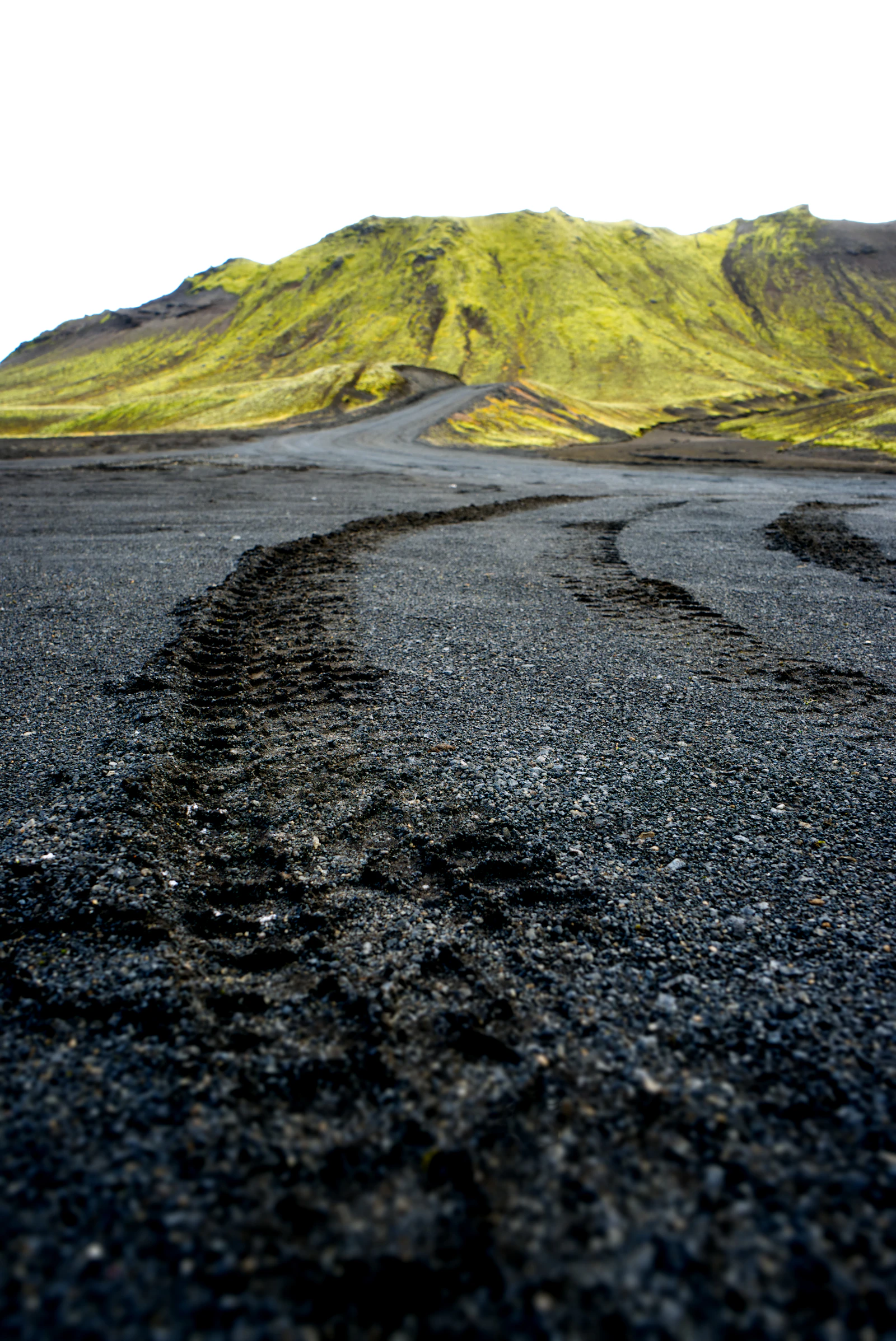
THÓRSMÖRK · PRODUCT CHECK
The named GetYourGuide product is a 10-hour excursion towards Þórsmörk with a 90-minute Valahnúkur hike and highland access. Gígjökull, F249 and the Fimmvörðuháls area make the transfer part of the decision, so place the day beside your accommodation and next commitment before paying.
Use the next day as the test
Choose it when a guided Valahnúkur hike is worth protecting a full day and you want the operator to handle the highland approach. Skip it for a one-hour scenic add-on, an early flight the next morning or a day when you are treating it as a substitute for the separate 25-kilometre Fimmvörðuháls hike. Confirm the 10-hour window, pickup area, return and cancellation terms before paying.
THÓRSMÖRK · 10-HOUR PRODUCT CHECK
The 10-hour product earns its place only when the itinerary can hold it
The score reflects the product's stated 10-hour day, 90-minute Valahnukur hike, highland access and likely exposure to weather and river-crossing conditions. It is a route-practicality assessment, not a customer-review rating.
The route reaches an interior highlands landscape that ordinary sightseeing routes cannot reproduce, with the road approach forming part of the experience.
The 10-hour commitment leaves limited flexibility elsewhere in the day, even though the guided format removes some planning work.
A 90-minute hike gives the product a clear activity rather than a purely scenic transfer, but the walking window remains part of a long transport day.
The product has a recognisable destination and activity focus, with the route's access constraints making the decision easier to explain.
A guided transfer can reduce the burden of planning a highland day, but it does not remove the need to account for road access, weather and the return journey.
It is a convincing match for travellers who want a specific Thorsmork hiking day and can protect the schedule from competing plans.
This is a highlands day, not an extra South Coast stop
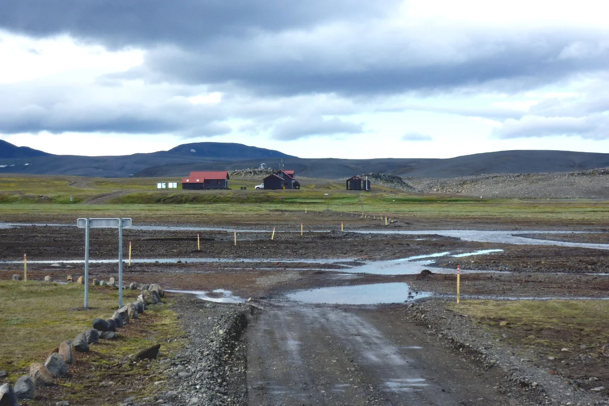
Compared with the Thorsmork Super Jeep and Fimmvorduhals guide, this product should be judged by the same practical questions: how much of the day is spent reaching the valley, how much walking is included, and how much slack remains if access conditions change. A private format can make the day easier to coordinate, but it does not turn a highlands route into a short excursion.
| Route element | What the product gives you | What to allow for |
|---|---|---|
| 10-hour day | A full day dedicated to Thorsmork and the Valahnukur activity. | Protect the morning and evening; do not attach a tightly timed plan on either side. |
| Private format | A more focused day than a broad sightseeing circuit. | The itinerary still depends on highland access and the group's pace. |
| Valahnukur 90-minute hike | A defined walking objective within the Thorsmork visit. | Weather and trail conditions can affect how the walking segment works. |
| Highland road and river crossings | Access to terrain that is difficult to plan as an ordinary rental-car stop. | Road permissions, water levels and the return route remain material constraints. |
Where the ten hours actually go
The product is attractive because it concentrates a difficult destination and a named hike into one booked day. The trade-off is that the transfer is not background logistics: it determines how much time remains for the landscape and the Valahnukur walk.
| Decision area | Score | Why it matters |
|---|---|---|
| Highlands access and scenery | 9.0 / 10 | The route reaches a highlands setting that is not interchangeable with a roadside viewpoint. |
| Time efficiency | 5.0 / 10 | The 10-hour day leaves little room for another major activity. |
| Valahnukur hike value | 7.0 / 10 | The 90-minute walk gives the day a clear purpose beyond transport. |
| Route clarity | 9.0 / 10 | The product has a specific destination and activity, which makes itinerary planning easier. |
| Self-drive convenience | 6.0 / 10 | The guided setup helps with access planning, while weather and road limits still apply. |
The route sits beyond Hvolsvöllur, Hella and the South Coast
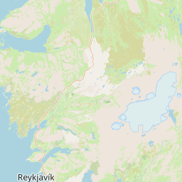
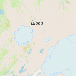
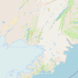
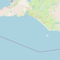
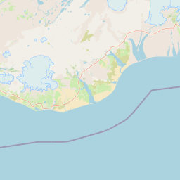
The access question starts well before Thorsmork. Hvolsvollur is a useful transfer and information point, while Hella works as a South Iceland accommodation base. The route direction towards Fimmvorduhals and Skogafoss belongs to a different planning decision from simply adding one more South Coast stop, so keep the highlands day distinct in the itinerary.
Choose this day when the long transfer is the point
The named walk gives the Thorsmork visit a clear centre of gravity. It suits travellers who want an active highlands day rather than a sequence of brief photo stops.
A private guided day can simplify the coordination around the transfer, highland road and river-crossing context. It still needs a realistic timetable and weather tolerance.
A 10-hour product is a poor match for a tightly packed itinerary or a same-day connection. The route deserves enough buffer for access and return decisions.
Pairing this experience with the South Coast guide or the two-day South Coast itinerary can make sense when the highlands day is kept separate from the Fimmvorduhals route. Use the Iceland Highlands guide to check how the activity works with the rest of your route.
The key planning question is not only whether the landscape appeals. Check the day's walking expectation, the transfer length, the accommodation base and the conditions that could alter access. Those checks determine whether the product supports the trip you are actually building.
CHECK THE CURRENT PRODUCT
Check the named Þórsmörk product before you commit
Use the GetYourGuide listing to confirm the current booking information for this 10-hour Thorsmork product and its 90-minute Valahnukur hike. Read the operator's latest details alongside your own route, weather tolerance and accommodation plan; ICENAVI's assessment is about itinerary compatibility.
Questions to settle before booking the 10-hour day
- Does a 10-hour highlands day leave enough room around the rest of your route?
- Can your group manage the 90-minute Valahnukur hike in changeable Icelandic weather?
- Have you allowed for transfer time, river-crossing conditions and the return to your base?
- Will your accommodation location make the pickup and return practical?
- Are you comfortable with a day whose access may depend on road and weather conditions?
These checks keep the decision tied to the actual trip rather than to the destination name alone. If the group wants the hike and can protect the day, the product has a clear role; if the schedule is fixed to the minute, the plan becomes hard to absorb.
Q&A: planning the Thorsmork private day tour
Is the Valahnukur hike suitable for every group?
The route includes a 90-minute hike, so the group should be comfortable walking on uneven highland terrain in changeable conditions. Treat the stated activity as a real part of the day, not as an optional photo stop.
Does the 10-hour product include the entire Thorsmork day?
The listing describes a 10-hour excursion with the Valahnukur activity. The transfer is part of the day's shape, so compare the full duration with your accommodation base and other plans.
Why do river crossings matter to the decision?
Access to Thorsmork involves highland-road and river-crossing considerations. Conditions can affect the practical route, which is why the product should be kept away from tightly timed connections.
Can this be combined with the South Coast in one day?
It may be possible to connect the wider regions across a trip, but this is already a 10-hour activity day. Keep the Thorsmork booking distinct unless your itinerary has enough buffer for the transfer and return.
References
Reviewed on 7 September 2026. The assessment covers the listed product, the route context and public map data available for this page.
- GetYourGuide: From Reykjavik: Day Trip to Thorsmork with Mountain Hike, including the 10-hour activity and Valahnukur hike listing.
- Ferðafélag Íslands: Thorsmork and Fimmvorduhals, for the hiking-area context.
- SafeTravel: Highland driving, for highland-road and 4WD considerations.
- OpenStreetMap contributors, for the map base.
- ICENAVI route assessment and editorial interpretation of the activity's itinerary compatibility.