
ICENAVI WEATHER FIT · DAILY ROUTE
The forecast gives you time to change the route
Scores combine wind, visibility, alternative roads and exposure time at each stop; they are not a weather-safety rating.
The walk from the car park is short, so a rougher spell can be spent moving between stops.
Sea wind, spray and wet ground magnify a brief spell of bad conditions; stay only when the outlook is clear.
Passes, tunnels and fjord side roads do not share one weather pattern; use a town as your mid-route fallback.
With Akureyri as a base, you can shift a longer stop into the clearer half-day and keep the return route flexible.
Read wind speed first; temperature comes third
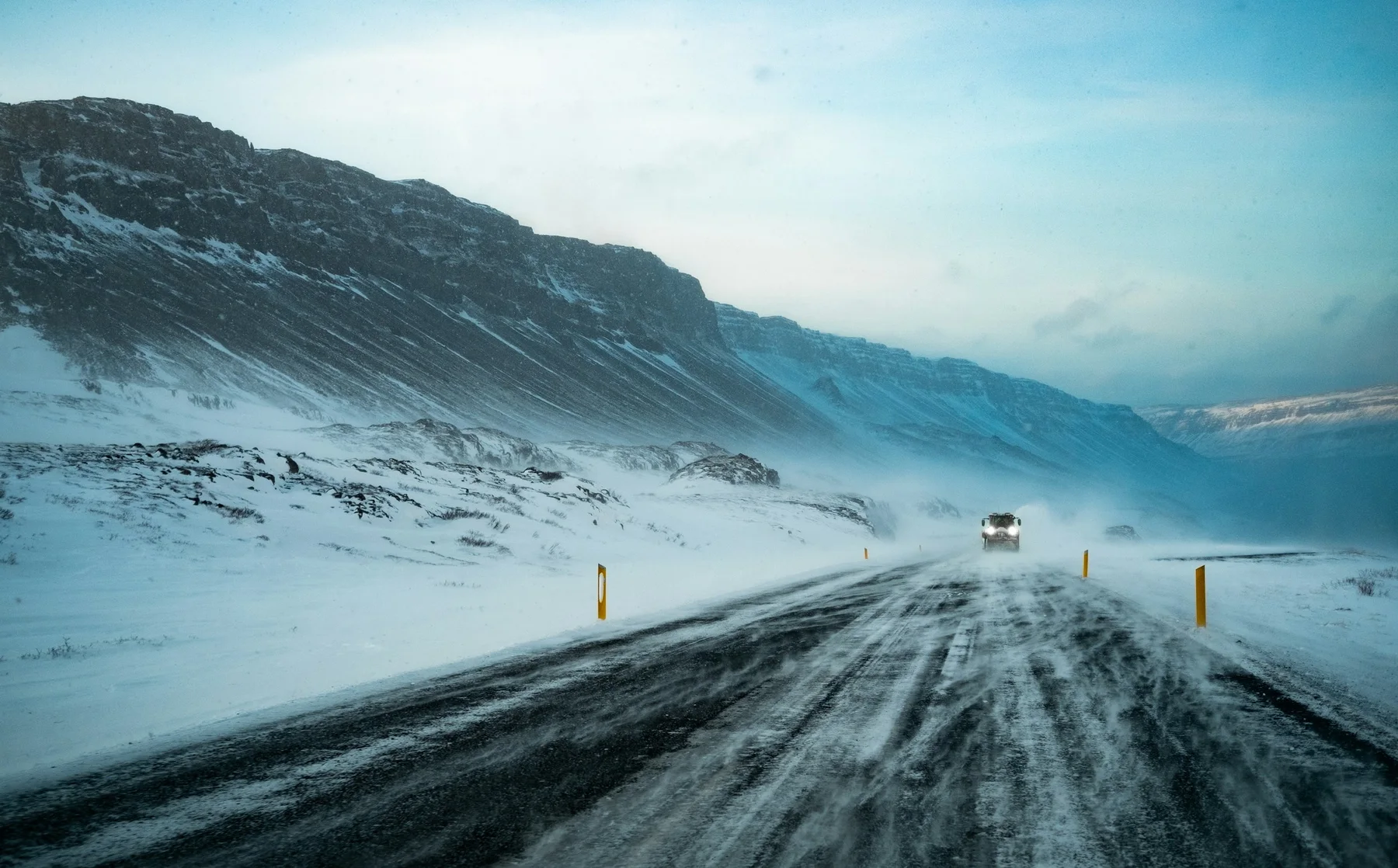
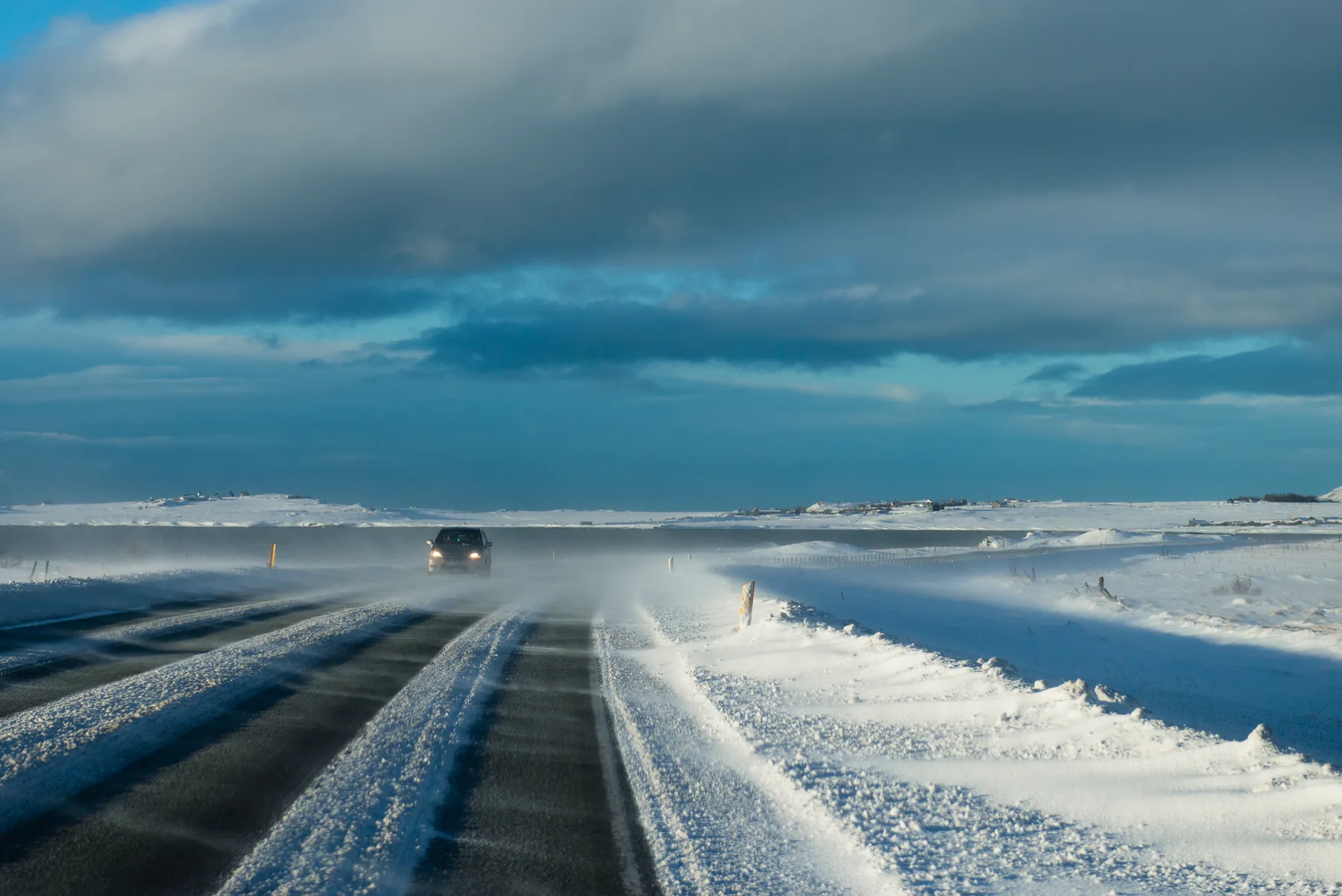
The same 5°C feels like two different working conditions on a Reykjavík street corner and at Vík's coast. A crosswind can make a car door suddenly heavy; on a waterfall path, it can lift a rain jacket and turn a ten-minute walk into a slow sequence of holding your hat, watching the ground and avoiding runoff. The meteorological office homepage provides forecasts for wind, temperature and precipitation; when the map colours and written description disagree, follow the written forecast. Do not record only “rain”; note the wind direction, strongest period and the area likely to deteriorate first.
| Daily reading | What it changes | ICENAVI route action |
|---|---|---|
| Wind direction/speed | Vehicle stability, time on the coast, opening doors and elevated bridges | Put exposed stops in the morning; shorten coastal time and keep lunch in town |
| Type of precipitation | Visibility and grip under rain, wet snow or dry snow | Keep the waterfall; make a long trail or highland side road the fallback |
| Visibility | Recognising passes, single-lane bridges, bends and road signs | If you cannot see the next section, turn the car back; do not make up the difference with more stops |
| Temperature change | Ice, thawing snow, drying wet clothes and the evening return | Put a hot spring or indoor activity after sunset, and choose accommodation with space to dry clothes |
Treat the wind-speed figure as a working guide rather than a challenge: once wind makes the car door, rain jacket or coastal walk noticeably hard to control, swap a long stop for a short one; allow more time when it blows directly towards the vehicle or shore. This is more useful than memorising a fixed m/s threshold because the car, road surface, direction of exposure and walking pace of your group all change how it feels.
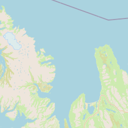
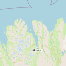
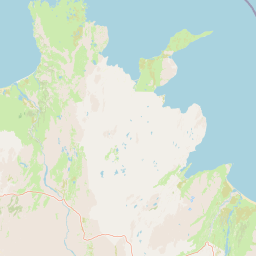
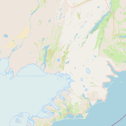
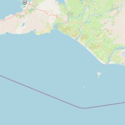
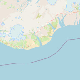
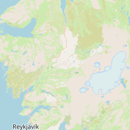 ReykjavíkIndoor fallback/forecast baselineVíkCoastal wind/short waterfall stopHöfn/EastfjordsPass transfer/fallbackLake Mývatn/AkureyriNorthern half-day flexibility
Split the day into exposed stops and driving time
Sights do not present the same weather problem. Seljalandsfoss is a short walk from the car park, so it can still work when wind and rain rise slightly; Reynisfjara faces the open sea, so both time and distance need a more cautious limit; an Eastfjords side road combines wind, fog and passes, making the key question whether you can reach the next serviced town on time. Putting all three in one “sightseeing list” hides the difference that matters.
| Part of the day | Best work to place here | What to cut if weather turns |
|---|---|---|
| First 2 hours after departure | Short-walk waterfalls, viewpoints and stops where you can return to the car quickly | Keep the first main sight; cut the second, distant side road |
| Around lunch | Supplies, fuel, indoor museums and activities that can finish early | Turn a long lunch into a base break; do not cross the region for a substitute |
| Last afternoon window | Choose one coast or long trail, keeping the return towards your accommodation | Go straight back to your accommodation base; do not use dark hours to add a sight |
| After dinner | Northern Lights viewing, a hot spring or an indoor activity (subject to opening hours and road conditions) | Stay in town; check the next day's weather for another opportunity |
If you stay in Vík, handle the South Coast's coastal section first in the morning, then use the wind direction to decide whether Dyrhólaey still fits; from Akureyri, treat Lake Mývatn or Húsavík as a half-day option and still return to town in the afternoon. This base-led arrangement connects with Ring Road supply stops: refuelling, checking the road report and reordering sights happen at the same parking stop, so there is less roadside improvisation.
A five-minute morning reset
- Read the meteorological office's written forecast: note the strongest wind period, which side the precipitation arrives from and whether the afternoon shifts.
- Check the road conditions page: confirm the sections you will actually drive today; the nationwide colour is not one answer.
- Mark the most exposed stop on the map and calculate the walk from the parking space and back to the car; place it in the drier window.
- Give every long transfer a town fallback: Vík for the South Coast, Höfn or Egilsstaðir in the east, and Akureyri in the north.
- Mark one sight as “not essential to today's theme”; if you have not reached it by 4 pm, cut it.
Activities belong in the same timing plan. Ice caves, snowmobiles, whale watching and transfer tours have meeting times, and when weather worsens, being late costs more than missing one free sight. Keep accommodation within the same local area before and after a fixed activity, then use the Iceland rainy-day reshuffle for the remaining hours; do not sacrifice the day's fallback just to save one outdoor stop.
ICENAVI · FIVE-MINUTE WEATHER CHECK
A forecast does not cancel the day; it sets the order.
Schedule the stop most exposed to wind, snow and poor visibility first, then connect short stops, supplies and indoor activities back to your base. For daylight and road differences by month, see the Iceland seasons guide; for clearer winter driving limits, read winter driving in Iceland.
Q&A | Iceland weather forecasts and road trips
Is a phone weather app enough?
No. Start with the Icelandic Meteorological Office's written forecast, then compare it with the road conditions and the sections you plan to drive; an app shows the trend but cannot replace the day's route decision.
Does rain mean the South Coast is off?
Not necessarily. Keep a short-walk waterfall, but reorder the open black beach and long trails according to wind, waves and visibility; consider the drive and the return towards your accommodation together.
What should I do when the forecast map and text disagree?
Use the written description of wind direction, precipitation and timing as the main guide, then include the road page and on-site notices in the final decision.
How should I plan when an activity is already booked and the weather worsens?
Protect the meeting time and the return fallback first, then cut the day's most distant free sight. Staying in the same local area before and after the activity makes the change much smaller.