
ICENAVI CONNECTIVITY FIT · SELF-DRIVE
Check the offline fallback before buying more data
These scores assess connectivity work on a self-drive route; recheck each operator’s coverage map and plan terms on the purchase date.
Navigation, messages and quick searches are generally available; save the offline map anyway.
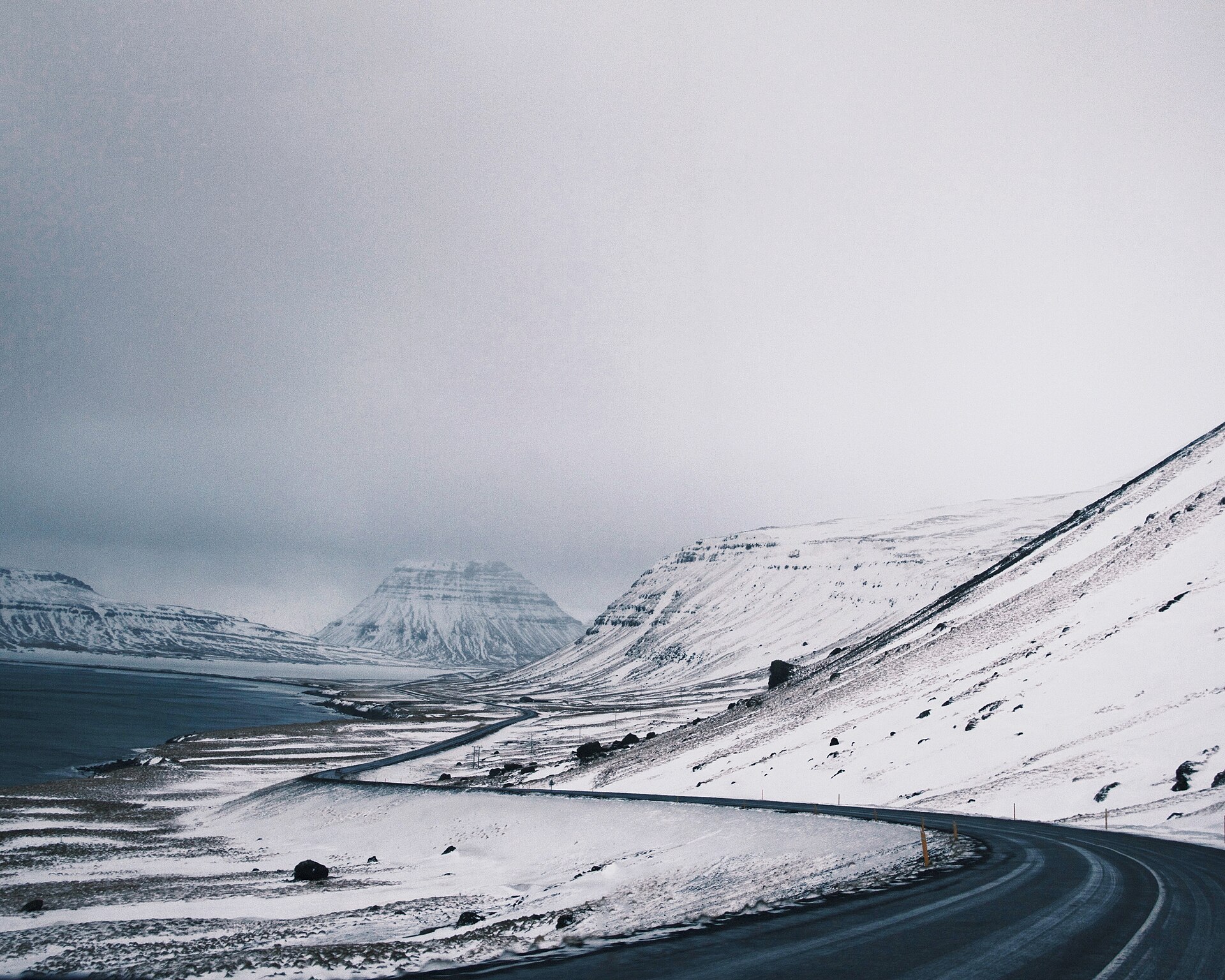
Long tunnels, mountain passes and coastal side roads alternate; save the accommodation and next fuel stop first.
Towns make reconnecting easier; keep offline addresses for waterfall car parks and black-sand beaches.
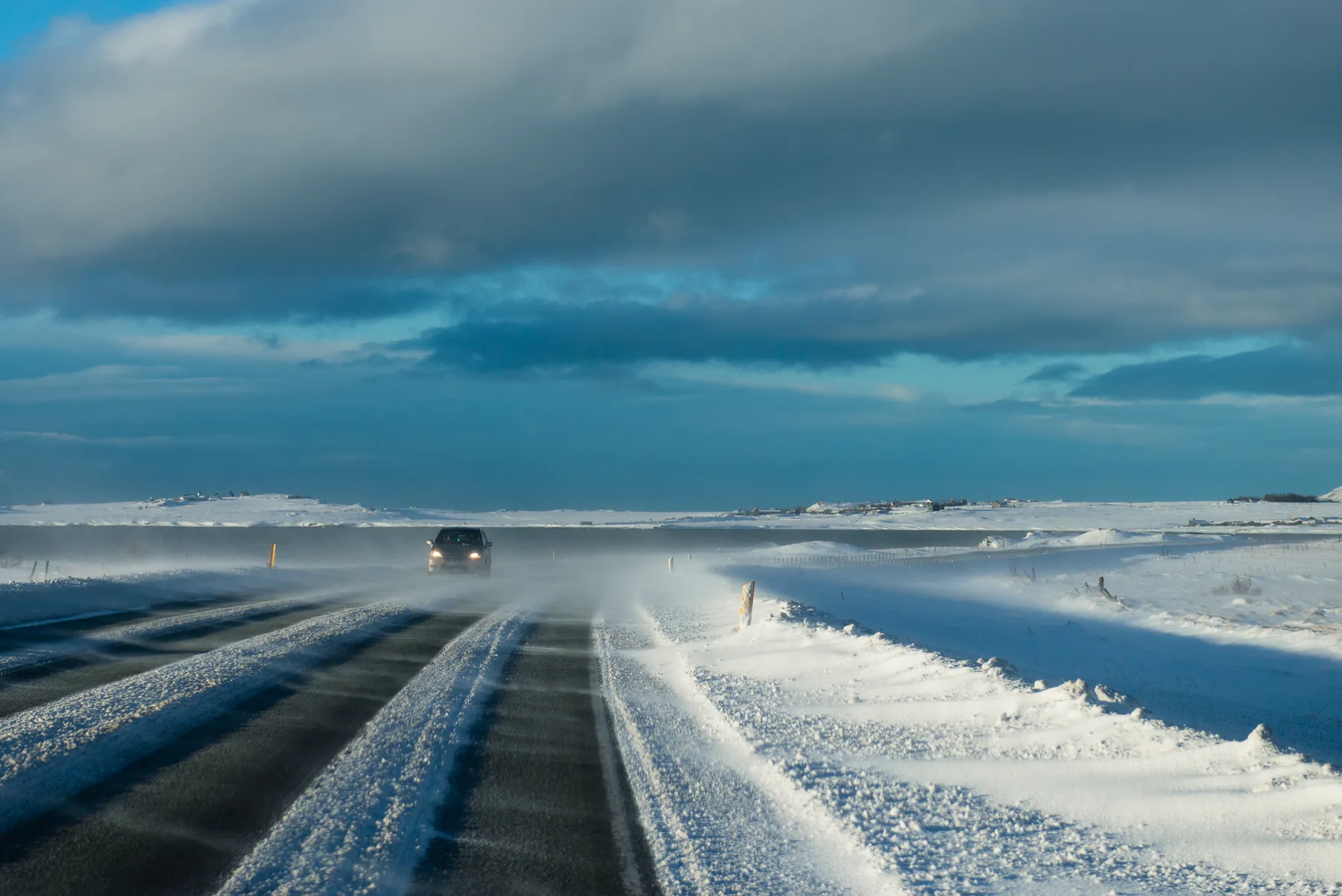
Signal cannot replace road judgement; carry offline maps, vehicle backup and a plan for contacting your accommodation.
Separate network coverage from the work your route requires
A coverage map shows where a network may be reachable. A road trip needs to answer a more practical question: can I complete the next task right now? Data helps you refuel in Selfoss, check an address in Hella and update plans as you enter Vík. In an Eastfjords mountain pass, the map may remain visible while a new road-closure notice cannot load. Both situations involve a phone, but they need different preparation.
Before departure, test the offline map in flight mode: search for accommodation, fuel stations, ferry terminals and activity meeting points, and confirm that the route still appears. This small check is more dependable than downloading a map at the airport and driving off, because it is easy to save only Reykjavík and discover in the Eastfjords that the map area is incomplete.
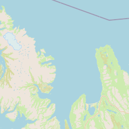
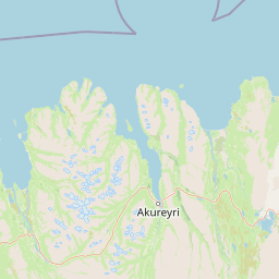
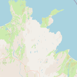
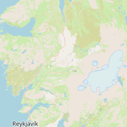
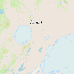
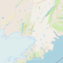
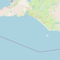
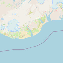 ReykjavíkDownload maps / activate eSIMVíkDense South Coast stopsHöfn / EastfjordsPasses and long tunnelsLake Mývatn / AkureyriNorthern bases and side roads
Three itinerary patterns, three starting points for data
| Travel pattern | Main daily use | Starting data allowance | Offline material to prepare first |
|---|---|---|---|
| City + short tours | Messages, map searches, a few photos | 3–5GB / 7 days | Hotel address, meeting point, airport transfer and city map |
| Ring Road self-drive, light uploading | Navigation, road conditions, restaurant searches, music streaming | 8–12GB / 10 days | Full Iceland map, fuel stations, road-page screenshots and each day’s accommodation |
| Group hotspot + video | Location sharing, cloud photos and short video uploads | 20GB or more, or unlimited | One offline map per person, so everyone can navigate if the hotspot fails |
| Highlands / remote side roads | Unreliable data; offline material leads | Capacity is secondary | F-road route, contact numbers, vehicle recovery and an accommodation fallback |
3–5GB covers a city-and-short-tour trip if you are not streaming video or backing up every photo immediately. For a Ring Road self-drive, 8–12GB is a more comfortable starting point because road pages, map updates and ad-hoc searches accumulate over the days. One phone serving a whole group by hotspot can burn through an estimate quickly when video and social media are involved, so compare how sharing will work and how each person actually uses data, rather than relying on the plan name. To compare Airalo and Saily on allowance, activation and hotspot support, see the Iceland eSIM brand comparison; that page handles the purchase decision, while this one covers staying operational when the signal disappears.
Complete the activation check in five minutes after Keflavík
- Use airport Wi-Fi to activate the eSIM, confirm that mobile data is using the new line, and keep your original number available for SMS.
- Turn off data roaming on your original SIM to avoid an accidental charge while the phone switches lines; keep its calling line available if needed.
- Turn on data roaming for the travel eSIM only, then test a map, the road-information page and an accommodation address.
- Save Reykjavík, the South Coast, East Iceland, the North and the Highlands areas on your route as offline maps, then test searches in flight mode.
- Save the rental-car company, accommodation, ferry, activity meeting point and emergency contacts in your notes, and keep screenshots as a second copy.
If the phone shows 5G, speed will still depend on terrain, indoor walls and the number of people using the network. If it shows only 4G, that is generally enough for navigation and messages. The risk to manage is having no usable data, not chasing the highest icon on every stretch of road. Keep Iceland’s road-conditions website updated while you have service, and save the last read version for offline use.
Assign clear jobs in the car when the signal disappears
The driver should follow the pre-downloaded route. The passenger can update the next road segment and accommodation whenever the car reaches a town with service. Keep offline maps on at least one phone and a calling-capable local or roaming line on another; do not put every task on the phone providing the hotspot. Before entering an F-road, use the Highlands F-road and 4WD guide to check the vehicle and road conditions. Signal is for contact; it cannot make decisions about river crossings, weather or road access.
Before leaving Selfoss, Vík, Höfn, Egilsstaðir, Lake Mývatn or Akureyri, spend two minutes updating the next accommodation address, fuel stop, road-condition screenshot and activity meeting time. This checkpoint-based habit uses less battery than refreshing a map throughout the drive and leaves you with something workable when service drops. If you want to line up supplies and connectivity checkpoints, use the Ring Road supply map and refuel, eat and download the next information during the same stop.
ICENAVI · ESIM LAST CHECK
Choose the eSIM size after the offline fallback is ready.
Use mobile data to make city and Route 1 travel easier; use offline maps for the Eastfjords, mountain passes and Highlands. Download, screenshot and test first, then compare allowances and activation methods in the Iceland eSIM index. A full signal icon is not a safety plan.
Q&A | Iceland eSIM and self-drive coverage
Do I need an unlimited eSIM for driving Iceland’s Ring Road?
Not necessarily. If you mainly use navigation, messages and occasional searches, 8–12GB is usually enough as a starting point. Larger allowances make sense for group hotspots, video streaming or frequent photo uploads.
Will Google Maps navigate without signal?
Download the full Iceland area first and test searches in flight mode. Offline maps can provide the roads and places already saved; current closures and temporary changes still need to be checked while you have service.
Which network should I choose for the Highlands F-roads?
Start with the local network used by the travel eSIM and its coverage map, then prioritise offline information, the vehicle and recovery arrangements. A larger plan cannot create service on a road with no signal.
What should I do if the eSIM has no data after arrival?
Use airport Wi-Fi to check the data line, APN, data roaming and the original SIM’s roaming settings. Keep the QR code, plan-support link and accommodation address in screenshots, and establish basic contact before leaving the airport.
Is one hotspot phone enough for the whole car?
It can be for a short trip, but a Ring Road drive with remote side roads should have at least two phones with offline maps. If the hotspot phone runs out of battery, overheats or loses service, everyone else still needs to see the route.
References
- Síminn | Mobile subscriptions (traveller plans and coverage-map entry point).
- Nova | Þjónustusvæði coverage map (4G/5G service-area map).
- Nova | Travel eSIM (activation, allowance and traveller eSIM information).
- Icelandic Road and Coastal Administration (road-condition updates).
- SafeTravel Iceland (self-drive and Highlands safety information).
- OpenStreetMap contributors (base map for the real-location map in this article).