
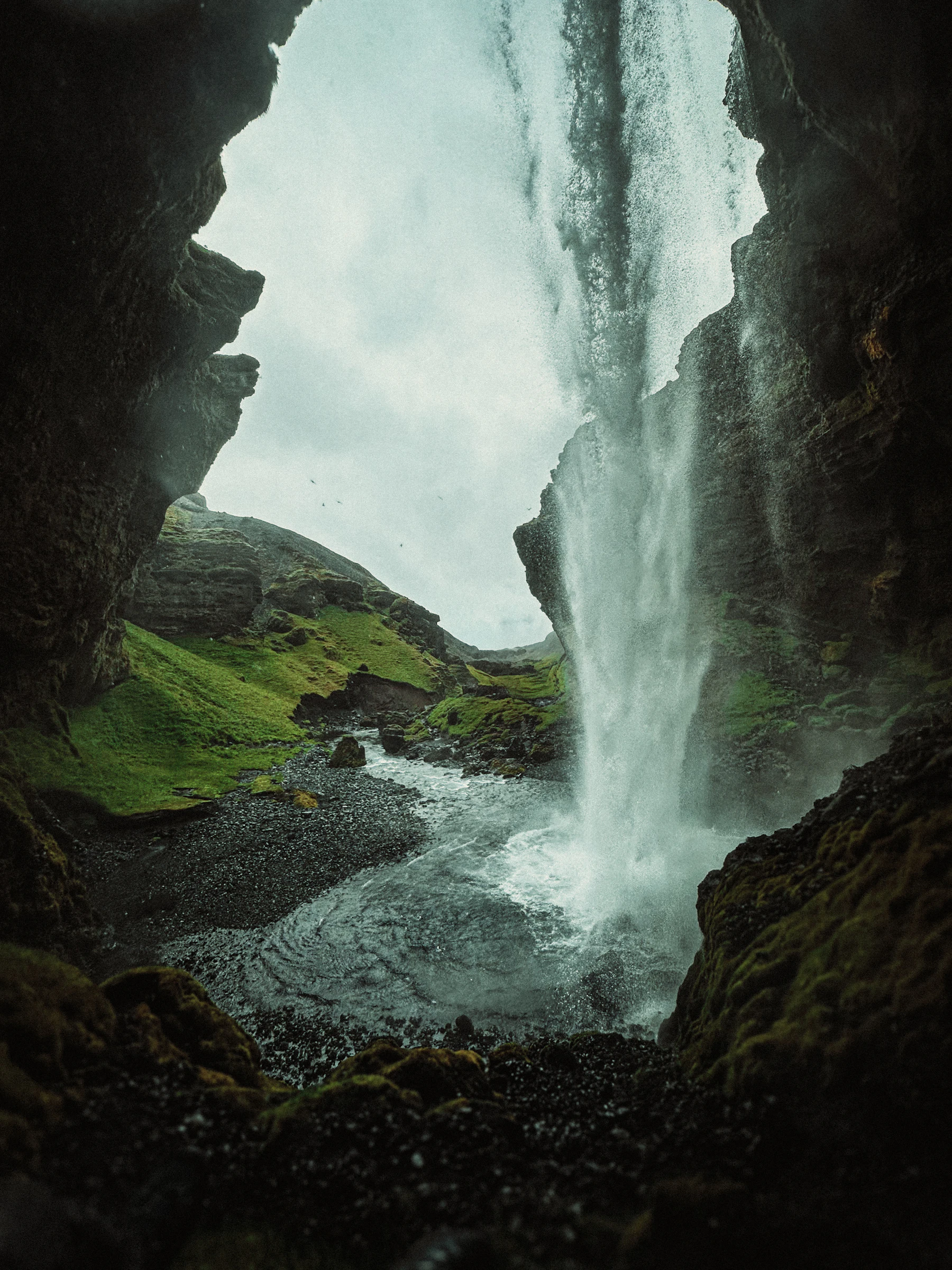
ICENAVI KÓPASKER FIT
Five Practical Signals for the Northeast Coast
Scores evaluate services, route connectivity, local content, coastal extension, and weather fallbacks; remoteness is not treated as a scenic value.
The village has a grocery store, dining, fuel, pharmacy, bank, car repair, lodging, and a campsite—enough to handle basic logistics before a long coastal drive.
The drive north from the canyon is short, making it ideal for splitting the national park trails and the northeast coast into two separate days.
The Snartarstaðir local history museum and the earthquake center give this small village two worthwhile indoor stops for bad weather.
The museum, earthquake center, and a village walk can salvage a half-day; remote coastal spots like Hraunhafnartangi remain highly dependent on wind conditions.
It is a logical entry point to the west side of the peninsula; if you are only visiting Ásbyrgi, the time cost of extending north is not justified.
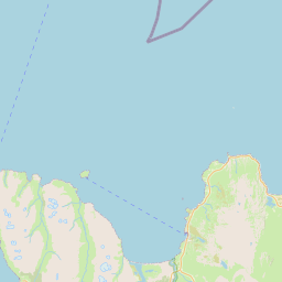
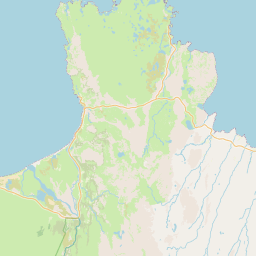
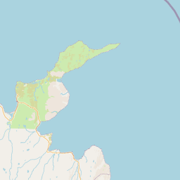
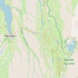
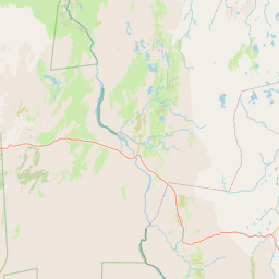
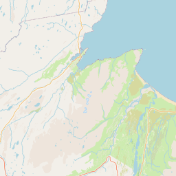 HúsavíkSouthern city baseÁsbyrgiCanyon / National ParkKópaskerResupply / Local contentHraunhafnartangiNorthern coastal walkRaufarhöfnArctic Coast exit
After Ásbyrgi, Kópasker buys time before the remote coast
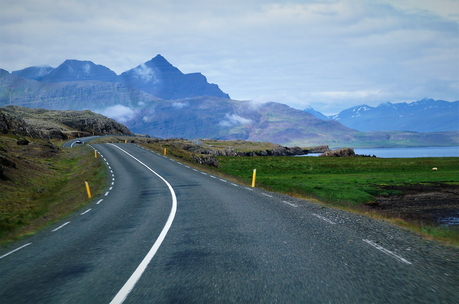
Ásbyrgi can take half a day once you count the boardwalk, canyon rim and visitor centre. Leaving in the afternoon and pressing on towards Raufarhöfn then means adding navigation, photo stops, supplies and wind to a drive that looks shorter on the map. Kópasker sits on the east shore of Öxarfjörður, giving you a place to stop before the Melrakkaslétta peninsula becomes its own full-day commitment.
The village is small, which simplifies the process: refuel and buy food for the next day first, then park the car and walk to the lighthouse. The lighthouse path offers chances to see seals and seabirds; in good weather, you don't need to dedicate an entire afternoon. If the wind turns bad, return to the village for the earthquake center or the local history museum, and the day still has substance. For self-driving travelers, this is a base that allows you to keep coastal options open until the last moment.
Keep two indoor options for the weather turn
The Snartarstaðir local history museum is about two kilometers outside the village and displays handicrafts and everyday local objects. Its value lies in showing how communities on this coast have sustained themselves through agriculture, fishing, and domestic crafts. Confirm its opening season and hours before setting out, especially in shoulder season; it may not be open when you arrive.
The Kópasker Earthquake Centre records the damage caused by the 1976 earthquake. It gives a windy or rainy afternoon a local anchor rather than another weather-dependent viewpoint. Add coffee or a simple meal and the two indoor stops can fill a half-day; with only two hours, choose one and leave the other for a future route.
Melrakkaslétta is a full-day decision, not a late detour
The Melrakkaslétta peninsula runs north from Kópasker. Hraunhafnartangi is mainland Iceland’s northernmost point; although the lighthouse walk is short, the side road, parking, wind and return drive are part of the outing. Hestfall, Hvalvík’s rock formations and coastal birdlife belong on the same full-day plan. They are poor candidates for the last two hours before dinner.
During the annual summer solstice weekend, Kópasker hosts a series of local events. If your dates align, lodging and dining capacity in the village will be tighter than usual; if they don't, treat it as a standard service node. These events don't need to be written into every itinerary, but it is worth checking once in June: if you were already planning to visit Melrakkaslétta, a festival day might turn an "overnight stay" from a fallback into the primary plan.
Let the next road decide how long to stay
| Available Time | What to Prioritize | Route | Where to Stay |
|---|---|---|---|
| 1–2 hours | Refuel, buy food, short lighthouse walk | Ásbyrgi → Kópasker → Húsavík | Keep your existing room to the south |
| Half day | Earthquake center or local history museum, then coast | End the day in Kópasker after Ásbyrgi | Worth an overnight if heading north next day |
| Full day | Hraunhafnartangi, Hestfall, or Hvalvík | Use Kópasker as entry to Melrakkaslétta | Allow buffer nights before and after |
| Rain/Wind or Shoulder Season | Indoor stops, resupply, lighthouse if visibility allows | Keep the option of returning to Ásbyrgi/Húsavík | Prioritize a cancellable room over the remote coast |
ICENAVI · KÓPASKER CALL
Sleep here when the north coast is the next job
Book the night if Melrakkaslétta needs a full day, or if supplies and the earthquake or local-history stops would otherwise push the route too late. If Ásbyrgi is your only target before Húsavík, stop briefly and keep driving. Kópasker works as a pause that protects the next decision, not as a detour to force into every itinerary.
If you are planning a northeast coast route, start with the Raufarhöfn destination page to compare services and lodging at the eastern end of the Arctic Coast. If you plan to return from Ásbyrgi toward whale watching and Mývatn, the Mývatn and Húsavík guide explains how to position your next base. For help sequencing Route 1 and Route 85, read the Þórshöfn northeast coast guide.
Q&A | What to Know Before Leaving Kópasker
Is Kópasker suitable for an overnight stay?
If you are visiting the Melrakkaslétta peninsula, need to resupply, or want to split Ásbyrgi and the northern coast across two days, an overnight stay is reasonable. If you are visiting only Ásbyrgi, a short stop is sufficient.
What supplies and services are available in the village?
There is a grocery store, dining, fuel, pharmacy, bank, car repair, lodging, and a campsite; check opening hours again for your specific dates.
How long does it take to travel from Kópasker to Hraunhafnartangi?
This excursion is best planned as a full day. Gravel roads, parking, wind, and the return drive all affect the timing, so straight-line map distance is not a reliable guide.
What can you do in the rain?
The earthquake center, Snartarstaðir local history museum, and a short village walk can fill a half-day; save remote coastal spots for a day with better visibility.
Is it worth planning around the June solstice events?
There are local events over an extended weekend every June. If your dates align, secure lodging and dining first, then adjust your Melrakkaslétta coast plans around the event times.
References
- Visit North Iceland | Edge of the Arctic (Route background for Ásbyrgi, Kópasker, lighthouse, Melrakkaslétta, and Raufarhöfn).
- Visit North Iceland | Kópasker (Village services, 1976 earthquake center, Snartarstaðir, lighthouse, and solstice events).
- Arctic Coast Way | Kópasker (Öxarfjörður, Melrakkaslétta, and northern coast extensions).
- Vatnajökull National Park | Ásbyrgi (Ásbyrgi canyon and national park trail background).
- OpenStreetMap contributors (Real map base for this article).