
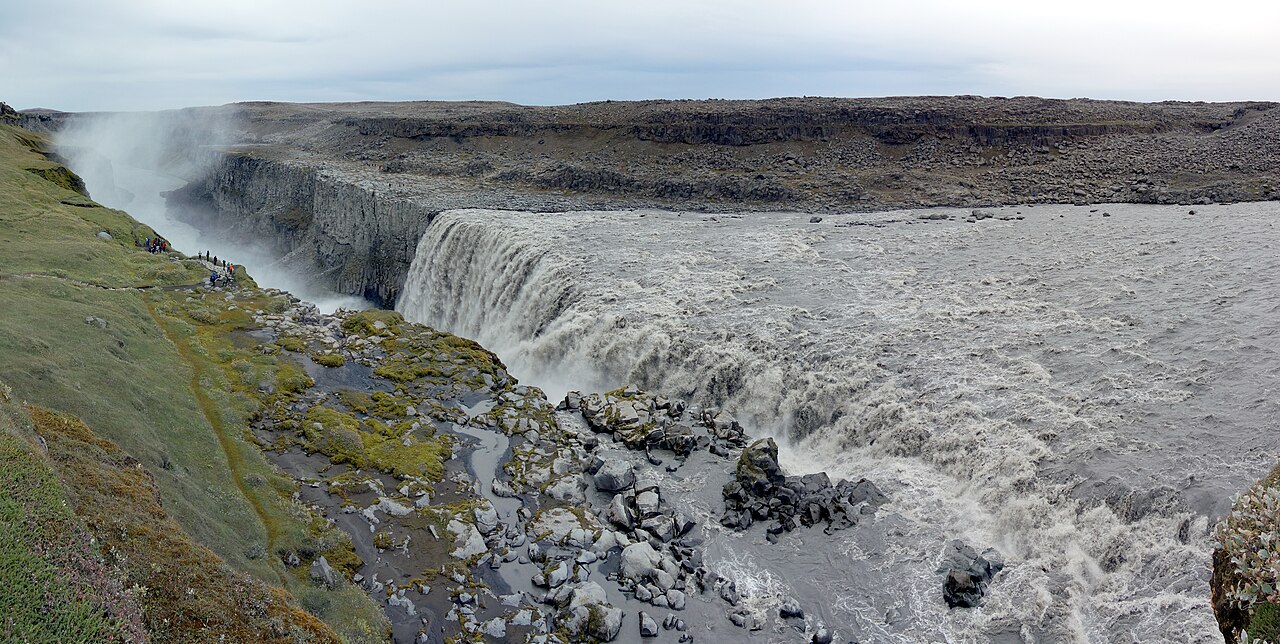
DIAMOND CIRCLE · ACCESS DECISION
Neither bank is the universal answer. The west side pairs paved Route 862 with the main trail; the east side uses gravel Route 864 and a different approach. Put the road, your shoes and the next overnight stop on the same line before you pick the view.
ICENAVI ROUTE FIT · DETTIFOSS
Which route remains manageable today?
This is not a beauty ranking. It is an access-fit score based on roads, trails, season, overnight base and the cost of changing plans. The scores do not replace road notices on your departure day. If Route 864 is not viable that day, there is no east-bank score to consider.
The west bank is the more broadly workable choice. The east bank offers something extra only when the road is open, your vehicle is permitted and your route continues north.
Paved Route 862 is better suited to first-time visitors and standard 2WD cars. Gravel Route 864, rental terms and the risk of tyre damage can change the answer outright.
Snow, thawing ground and mud affect Route 864. Winter service on Route 862 is also limited, so both roads must be checked again on the day you leave.
The park describes D1 as about 1 kilometre from the car park to Dettifoss, while its route card lists 1.5 kilometres return. Allow slack for that estimate and current access changes; the D2 loop to Selfoss is about 2.5 kilometres.
Mývatn suits a return west, while Ásbyrgi draws you into the northern section. If you are whale watching or returning to Akureyri the next day, your base affects the choice before the viewpoint does.
Landslides, slippery ground, dinner plans and fixed check-in times can turn one kilometre into a real scheduling cost. Leave room for accommodation changes and the following day's direction.
Check Route 864 before comparing the viewpoints
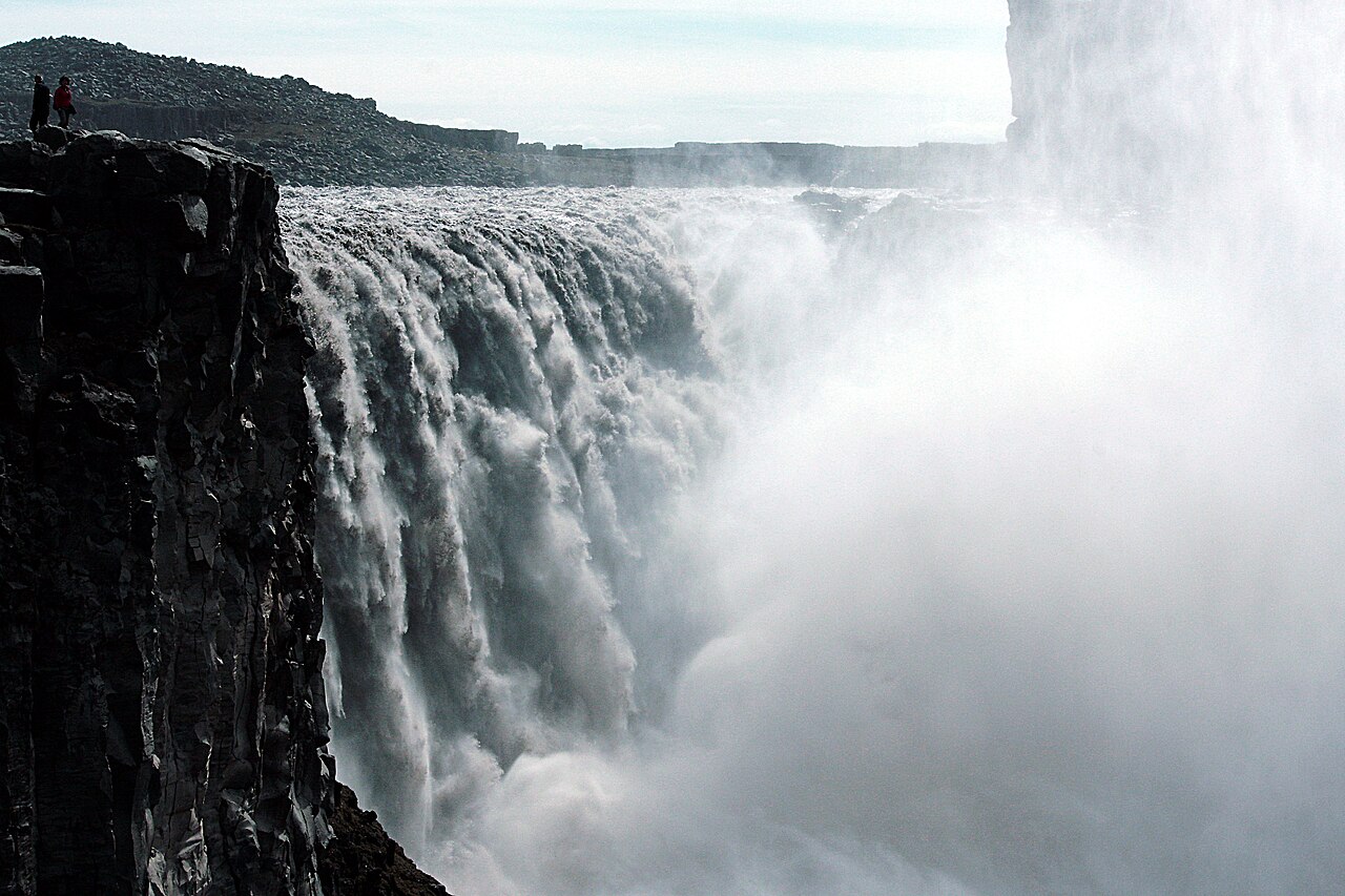
Route 862 on the west bank is paved; Route 864 on the east bank is gravel and can remain closed in snow or wet, muddy ground until conditions improve. That is a practical access question, not a claim that the east side is wilder or better. If the road notice is unclear, your rental terms exclude it or the weather is turning, use Route 862 or postpone the visit before reaching the junction.
The west bank is not automatically trouble-free throughout the year. North Iceland road information says winter service on Route 862 is limited, and the national park warns that off-season conditions can change quickly. Treat “paved” as the more dependable access option, not as a promise that the road is safe, open or driveable at summer speed. When today's roads, fatigue and overnight stop need to be recalculated, the departure-day test for winter driving in Iceland is more reliable than any old itinerary.
On the west bank, budget the final kilometre
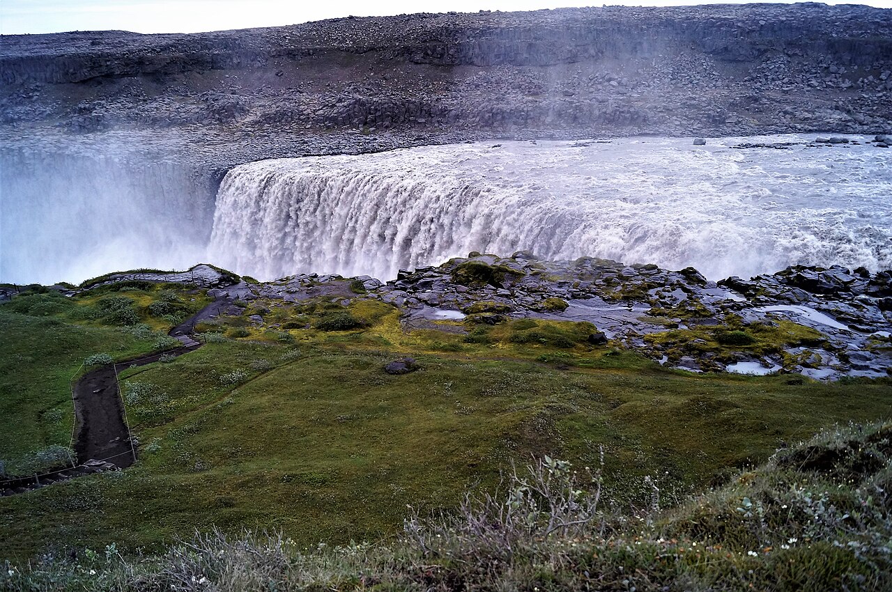
Vatnajökull National Park’s D1 card lists a 1.5-kilometre return walk and 30–60 minutes, while the page text describes the viewpoint as about 1 kilometre from the car park one way. The park announced in May 2026 that Fosshvammur is permanently closed and that west-bank paths are being moved; use those figures only as a rough baseline, then follow the current marked route and notices. Spray reaches the west-bank viewpoint and paths, which can be slippery. In hard frost, snow and ice may build up near the edge; stay back from the canyon rim.
Treat the viewpoint as a short hike, not a quick photo stop. Adjust your layers at the car, take water and leave enough time to walk out and back before the next drive. A Mývatn Nature Baths booking, dinner deadline or tired driver can make that extra hour matter more than the distance suggests.
The practical question here is rarely whether everyone can finish the walk. It is whether you allowed for it. If you are travelling with an older person, children, someone recovering from motion sickness, or a group that has not eaten lunch, the west bank's kilometre need not be cancelled. Just do not squeeze it in around sunset, dinner and hotel check-in. The D2 trail combining Dettifoss and Selfoss is about 2.5 kilometres and officially takes around an hour. Seeing another waterfall means adding another walk, not merely glancing around the corner from the car park.
| Your conditions today | Bank to consider first | What it genuinely gives you | What not to mistake it for |
|---|---|---|---|
| Standard car, first visit, winter or unsettled weather | West bank, Route 862 | Paved access and clearer information for the park's main trail | A guarantee that no same-day check is needed at any time of year |
| Summer, Route 864 open, rental terms permit it, continuing towards Route 85 | East bank, Route 864 | A way to place the waterfall on a north-easterly route instead of retracing your drive | A rougher gravel road that somehow counts as a shortcut |
| You only want to see the waterfall and return to Mývatn | West bank, Route 862 | Fewer road variables, leaving time for the lake area or your accommodation | Proof that you can add a quick detour to Ásbyrgi if time appears |
| You want Mývatn, Dettifoss and Ásbyrgi on the same day | Check conditions before choosing the full direction of travel | A clear answer on whether you actually need another night in the north | Three nearby names on a map that fit comfortably into one afternoon |
The time and trade-offs behind each route
Compare the time and driving costs, not just the distance on a map. A gravel-road restriction in your rental agreement, wet shoes or a late return to Mývatn can affect the rest of the day. The table below is not a price quote; it lists the trade-offs to account for before setting off.
| What you want to gain | The apparent plan | The cost that is easy to miss | A more dependable alternative |
|---|---|---|---|
| A close, more rugged east-bank perspective | Enter via Route 864, then return the same way | Gravel reduces driving speed and raises the risks of tyre damage and extra cleaning; the entire plan fails if Route 864 is closed | Complete the main visit via west-bank Route 862, then reserve the northern section for Ásbyrgi or the following day |
| Dettifoss, Selfoss and Mývatn on the same day | Fit all three stops into one day | The west-bank D1 and D2 trails already add up to about 2.5 kilometres of walking, before parking, dressing, drinking water, toilet stops and returning to the car | See Dettifoss only, or stay another night near Mývatn and add Selfoss only if fitness and weather allow |
| Continue to Húsavík after the waterfall | Leave Mývatn and drive north that afternoon | Backtracking competes with the whale-watching check-in time; missing it cannot be fixed by driving faster | Stay in Húsavík or schedule the activity the previous evening, then visit the waterfall in daylight with enough time to spare |
| Reach Dettifoss in winter | Copy the summer route | Winter service on Route 862 is limited, while snow and ice on the trail, viewing platforms or road sections may prompt on-site safety changes | Keep Mývatn or Akureyri as your base and leave only when both road and park notices indicate that the journey is viable that day |
The map shows why Dettifoss is not beside Mývatn
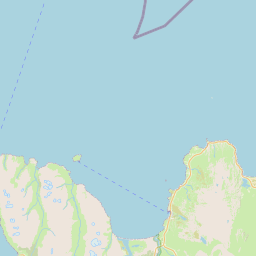
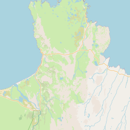
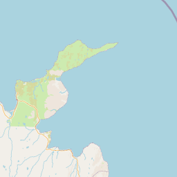
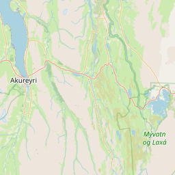
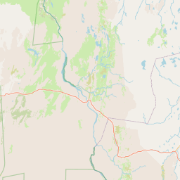
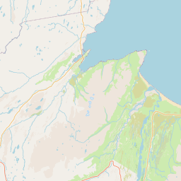

This map places Mývatn, Dettifoss and Ásbyrgi on the same OpenStreetMap base. It cannot choose today’s road, but it does show the extra northbound leg if you continue to Ásbyrgi. Returning to Mývatn is reasonable; it is simply a return journey, not a stop already on the way.
Before adding Ásbyrgi to the same day, account for the drive back
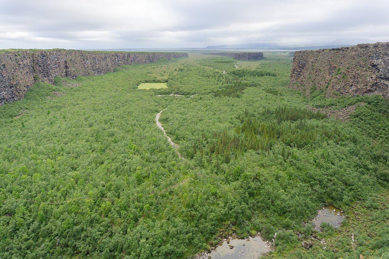
The national park treats Jökulsárgljúfur as the area extending north from Dettifoss to Ásbyrgi, with Route 862 on the west side of the river. Geographically, seeing the waterfall does not mean you have already completed the Diamond Circle. If you plan to stay in Ásbyrgi or continue north the next day, the west-bank direction may feel natural. If tonight's accommodation is already booked in Mývatn, it is another decision to backtrack—one that delays dinner and tires the driver.
Choose tonight's base before choosing the riverbank. If you want to connect geothermal landscapes, volcanic scenery and an eastbound journey the following day, return to the Mývatn and Húsavík base comparison. When you have only one night in the north, need supplies or will travel west the next day, the Akureyri guide shows what a city base gives you. If you want an early whale-watching departure from Húsavík, the harbour check-in time is less flexible than a Dettifoss photograph. Read whether whale watching merits an overnight stay before fitting the waterfall into the remaining space.
Before you leave, check these four things
Before leaving, check the Icelandic Road and Coastal Administration’s live road map for Routes 862 and 864, confirm your rental agreement’s gravel-road terms and budget the walk separately from the drive. Also open the park’s latest access notices: its 28 May 2026 announcement says Fosshvammur is permanently closed and that west-bank infrastructure and trails would be moved during the summer. The current notice page still links an older warning about partial closures at the northern viewing platform; I could not confirm from those notices that the announced work is complete. Follow the marked route on site and the park’s current guidance, not an older article or photograph.
ICENAVI · WHEN TO RULE OUT A ROAD
If Route 864 does not fit today, take the west bank
The two banks give you different views and onward routes. When the road notice, rental terms or your next stop rule out Route 864, a west-bank visit can stand on its own; there is no need to force both viewpoints into one day.
More reading
Q&A | Questions to settle before departure
Should first-time visitors simply choose the west bank of Dettifoss?
If you have a standard 2WD, are travelling in winter or do not want a gravel road to become the day's largest risk, west-bank Route 862 is the more dependable starting point. The east bank is not a fixed, more “authentic” answer. Road conditions, rental terms and the direction of your next stop must all support it.
If east-bank Route 864 is open, is it automatically worth driving?
No. Being open is only the basic feasibility test. You still need to consider the road surface, weather, vehicle type and whether you were already heading towards Ásbyrgi or Route 85. Otherwise, rerouting an entire section for another angle may not be worthwhile.
Can I visit both banks on the same day?
Yes, but it should not be the default plan. The entrances and road conditions differ, so place the parking time, trails and your next overnight base on the map first. If your priority is simply to complete a dependable waterfall visit, choosing one bank is usually better.
References
- Vatnajökull National Park: D1 Dettifoss and Dettifoss area (D1 and D2 distances, spray and slippery-ground warnings, limited winter service on Route 862, and Route 864 seasonal access; checked November 15, 2026).
- Visit North Iceland: Dettifoss Waterfall and North Iceland FAQ (the surfaces and seasonal service of Routes 862 and 864, the gravel road to the east bank, and the principle of checking roads on the day).
- Vatnajökull National Park: Changed access at Dettifoss (Icelandic announcement, translated here; Fosshvammur permanently closed and access rerouted; published 2026-05-28).
- Vatnajökull National Park: Landslide by Dettifoss (older English notice on partial viewing-platform closures; checked November 15, 2026).
- Lead image: Spike/Wikimedia Commons, CC BY-SA 4.0 (2023 panorama). East-bank image: Hedwig Storch, CC BY-SA 3.0 (2010). West-bank path image: Alexander Grebenkov, CC BY 3.0 (2019). Ásbyrgi image: Michal Klajban, CC BY-SA 4.0 (2017). These are reference photographs, not current access or weather reports.
- OpenStreetMap: base map and attribution for the North Iceland location map in this article. The markers show only the relative positions of Mývatn, west-bank Route 862, east-bank Route 864 and Ásbyrgi. They are not navigation guidance or a guarantee about same-day roads, car parks or access.


