
ICENAVI COASTAL FIT · SOUTH COAST
Before You Get Out of the Car, Check These Four Reynisfjara Scores
These scores help with timing and backup planning; they do not replace the warning system on site.
Basalt columns, black sand and sea caves are concentrated in one area, so the landscape is clear even on a short visit.
It can help estimate beach width, but it cannot predict sneaker waves; use it for scheduling only.
Sea wind, rain and visibility affect photography, walking and the return to the car at the same time, and conditions can change quickly.
Without approaching the wave line, 30–45 minutes is enough for the entrance, the columns and the walk back to the car park.
Use the tide table to plan your time, not to decide whether you can approach the sea
Reynisfjara lies west of Vík. After turning off Route 1 towards the coastal car park, the view quickly fills with black sand, basalt columns and the sea stacks of Reynisdrangar. When visitors see the broad stretch of sand revealed by the falling tide, it is natural to think, “This must be the safest time.” That conclusion does not follow. Tides are a cyclical change in water level, while sudden waves are shaped by offshore swell, wind direction and the pattern of successive waves. One cannot stand in for the other.
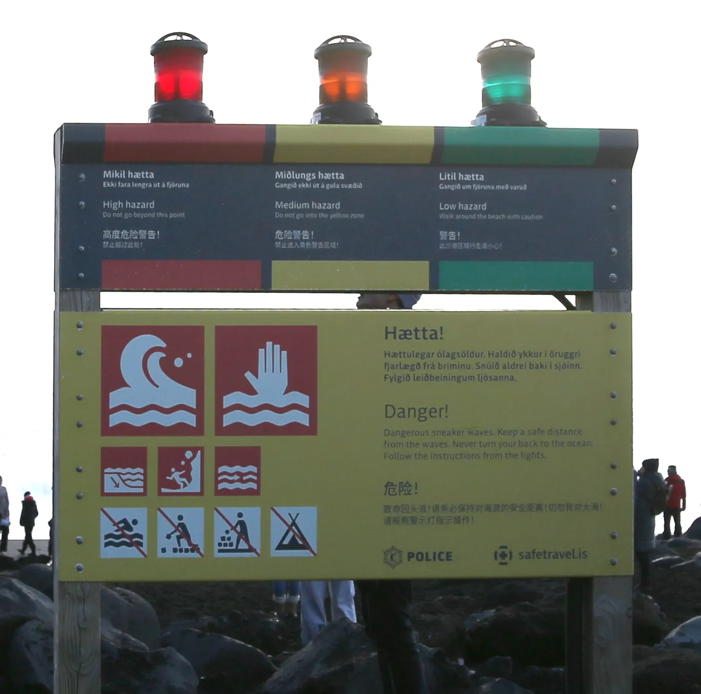
Tide information is still useful because it helps you reserve time to arrive, look around and return to the car. If low tide is at 2 p.m., that does not mean you can walk towards the water between 2 and 3 p.m. It only tells you that the sea level is likely to be lower around that period. Once you arrive, watch whether the wave line is moving higher up the beach, whether wet sand is covering the area where people had been walking, and what colour the entrance warning light shows.

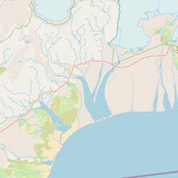
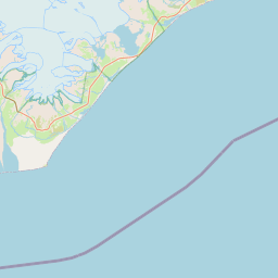
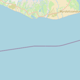
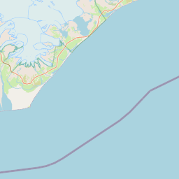 VíkStay and refuelReynisfjaraWarning lights before tidesDyrhólaeyHigher coastal alternativeSkógafossInland backup
In the first five minutes, check the warning light and the furthest reach of the waves
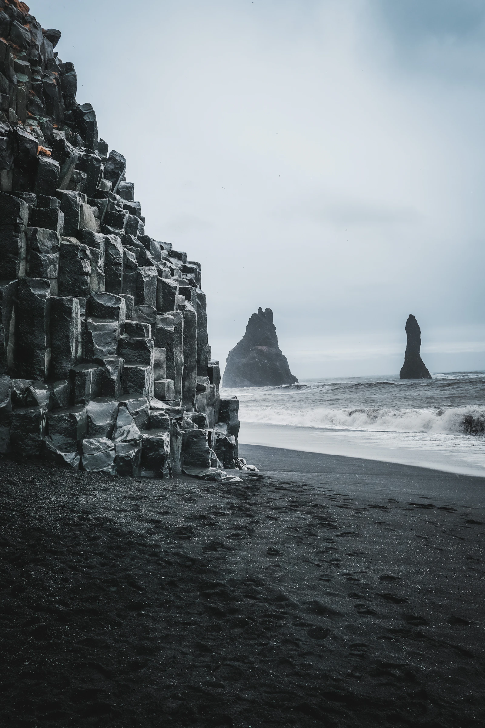
Do not take out your camera as soon as you park. Read the warning information and lights at the entrance, confirm the current access status, then look along the whole stretch of coast rather than judging the sea by the nearest one or two small waves. A larger, higher wave can arrive behind an apparently calm set. If you find yourself stepping backwards simply to keep your distance from the water, your original position was already too close.
Yellow means heightened caution. With orange, stay at least 25 metres from the sea. With red, watch only from designated viewing areas. The 25-metre rule is a minimum retreat distance, not a safety guarantee you can reduce to a measured number. With children, an adult should remain between the sea and the child. The person taking photographs is often the slowest to react, so agree in advance that everyone leaves together as soon as one person turns back.
There is also a rockfall risk beside the basalt columns. Do not focus exclusively on the sea: the cliff above you needs attention when you are taking photographs or waiting for spray near the rocks. The sand may look flat, but the transition between wet and dry sand can suddenly reduce your footing. Ordinary trainers are sufficient for a short walk, although cold, wet weather can make the return to the car miserable once shoes and socks are soaked.
Three tide situations and how to write them into your itinerary
| Tide or conditions on arrival | What to do | Maximum stay | Next move |
|---|---|---|---|
| Near low tide, stable wave line, green or yellow light | Walk from the entrance towards the columns while staying well back from the edge of the wet sand | About 30–45 minutes | Return to the car, then eat or check in at Vík |
| Near high tide, with successive waves pushing higher | View the coastline only from the entrance or a safe designated viewpoint | About 15–25 minutes | Switch to the higher viewpoint at Dyrhólaey or continue to Skógafoss |
| Orange light, strong wind, rain or mist, or a wave line that keeps advancing | Do not walk towards the sea; follow the instructions and leave the beach | Leave as the priority | Return to Vík and protect your accommodation and the following day’s drive |
| Red light or entrance closed | Go only to designated viewing areas and do not enter the beach | Brief stop | Rework the day using the closed-beach half-day backup plan |
The key column is “maximum stay”. Leaving yourself enough margin makes it much easier to walk away promptly. Near low tide, the wider beach offers more room and a few extra photographic angles, but the time needed to return to the car still belongs in your itinerary. When the tide is high or the wave sets are clearly building, the best views are concentrated around a few entrance points, so the visit should become shorter. If you have already planned a Reynisfjara and Dyrhólaey time slot, separate the two coastal stops so one can absorb a change in weather.
Daylight changes the answer to “What time should we go?”
Long summer daylight creates one of the easiest mistakes: assuming a late visit will be just as good. Evening wind, mist and light can shift within a short period. You can place Reynisfjara on the way east towards Vík, but do not keep postponing your departure simply because the sky is still bright. The midnight sun can be excellent for photography; the waves still follow their own rhythm.
From September through March, daylight is limited and low tide may fall close to darkness. Do not make the beach your final stop just to chase a lower tide. Arriving in daylight, making a short visit and returning to Vík is usually more useful than reaching a beach that is theoretically wider. For winter conditions and roads on the South Coast, see weather forecasts and road decisions, then check the day’s updates before setting out.
April and May bring a different rhythm. Daylight is gradually lengthening, but low temperatures and wind can still make the car park, path and car doors uncomfortable. If you leave Reykjavík in the morning, place inland or waterfall stops such as Seljalandsfoss or Skógafoss earlier in the day, leaving Reynisfjara for a period when there is still daylight and spare time. If the sea conditions are poor, removing the beach will not break the entire day.
Driving, tours and accommodation: turn a possible cancellation into usable time
Driving gives you the freedom to leave as soon as you see the conditions at the entrance, but you are responsible for parking, turning back and protecting the time needed for the next stop. From Vík, Reynisfjara works well earlier in the day, followed by Dyrhólaey or Skógafoss to the west. If you are heading east towards Jökulsárlón, leave a buffer for wind, rain and fuel or food stops on Route 1. The Vík destination guide covers accommodation, fuel and places to eat before you add the coastal stop to your route.
Day tours run on fixed meeting times, which may not align with the tide. When booking, check the actual time at the beach and the meeting point; do not assume that arriving by coach leaves enough time to walk to every viewpoint. If the guide shortens the visit because of sea conditions, that is part of managing the itinerary. Leaving the group to walk towards the water turns the return meeting into the real risk. For a comparison of fixed routes, see how to choose a South Coast day experience.
If you stay one night in Vík, Reynisfjara can be the focus of your arrival afternoon, but calculate the time needed for check-in, dinner and the following day’s drive east. If Jökulsárlón or Skaftafell is on the next day’s plan, do not turn back in the evening to wait for one particular tide time. Two nights give you more flexibility with the weather, but low tide still does not become a target you must chase. The warning light and wave line need a fresh assessment every time; conditions do not stay fixed because you have visited before.
A workable South Coast half-day example
Suppose you leave Reykjavík in the morning and reach Reynisfjara before noon. After getting out, check the light, wind direction and wave line, and allow 30 minutes from the entrance towards the columns. Only after returning to the car should you decide whether to continue to Dyrhólaey. If the sea remains stable, Dyrhólaey adds a higher viewpoint and the two landscapes are different enough that there is no need to stretch the beach visit to an hour. If the wind strengthens, continue directly to Vík for supplies and keep the afternoon for check-in and dinner.
Suppose you are travelling east from Skógafoss in the afternoon. Reynisfjara should then be a short stop or removed from the day altogether. Working backwards from the tide table is rarely worthwhile at that point, because driving, parking and getting back to your room are more likely to affect the following day than the width of the beach. If the basalt columns are your priority, keep the entrance viewpoint. If you only want one photograph of black sand, Skógafoss or a higher coastal view around Vík can provide an alternative frame.
If you are carrying large bags, an unsecured camera tripod or wet coats in the car, put everything away before getting out. Wind at Reynisfjara can pull open a car door and drive sand into a camera lens. The view is not worth sorting equipment in a gust. To make the day’s route easier to manage, start with the best order for South Coast waterfalls, then decide whether Reynisfjara belongs in the first or second part of the route.
Have your coastal timing in place?
Build Reynisfjara into a South Coast route with a way out
Arrange your Vík stay and South Coast activities first, then set the visit length according to the conditions that day. If the beach is unsuitable, the rest of the itinerary can still continue.
Related reading
If you are deciding whether Reynisfjara and Dyrhólaey belong on the same day, start with timing the two coastal stops, then return here to shorten the visit according to the sea conditions.
More to read
The Vík destination guide, how many nights to stay in Vík and the closed-beach backup plan can extend the route.
Q&A | Reynisfjara tides and safety
Can I walk closer to the sea at low tide?
Low tide alone is not enough to make that decision. Tides describe the water level; you still need to check the warning light, wave line, wind and instructions on site. Sudden waves can occur at low tide.
How long should I stay at Reynisfjara?
When conditions are stable, 30–45 minutes is generally enough for the entrance, the columns and the walk back to the car. Shorten the visit as wind and waves rise, and follow the restrictions for orange or red warnings.
What does an orange warning mean?
Stay at least 25 metres from the sea. Do not treat that distance as a guarantee of safety; the instructions on site and the plan for leaving take priority.
Where can I check the tide times?
You can use the tide forecast for the Vík í Mýrdal station near Reynisfjara as a planning reference, then check the current sea conditions when you arrive.
References
- SafeTravel Iceland | Reynisfjara black beach safety (warning lights, distances and on-site safety information).
- Tide.is | Reynisfjara tides (tide times using the Vík station as a reference; tides do not describe wave conditions).
- Icelandic Met Office | Coastal wind forecast (wind conditions for assessing the entrance).
- OpenStreetMap contributors (base map used in this article).