
ICENAVI ROUTE FIT · SNÆFELLSNES
How well does this route fit a compact Iceland trip?
These editorial scores reflect the route's landscape variety, stop-to-stop practicality, walkability, weather tolerance and overnight flexibility. They are planning guidance rather than a live road report.
A concentrated mix of mountain, coast, villages and short walks makes the peninsula easy to shape into a focused self-drive loop, provided the day is not overloaded.
The peninsula's main attractions do not sit in a single straight line. A deliberate overnight choice prevents the return drive from consuming the best daylight.
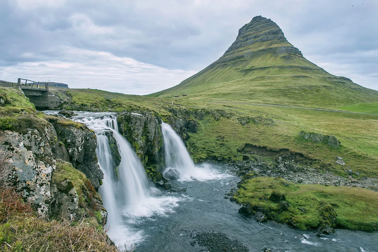
Kirkjufell, the south-coast cliffs, black-sand beaches and small fishing towns give the loop a clear change of scenery without requiring major hikes.
Stykkishólmur offers a useful northern base, while Borgarnes and the south coast can shorten the next day's return. Availability still matters in peak season.
Grundarfjörður and Stykkishólmur provide clear decision points, while Borgarnes is a practical approach stop. Weather remains the variable that can change the plan.
The itinerary can swap viewpoints, cafés and shorter walks when visibility drops, but exposed coastal sections still need a conservative call.
Why Snæfellsnes suits a short Iceland self-drive
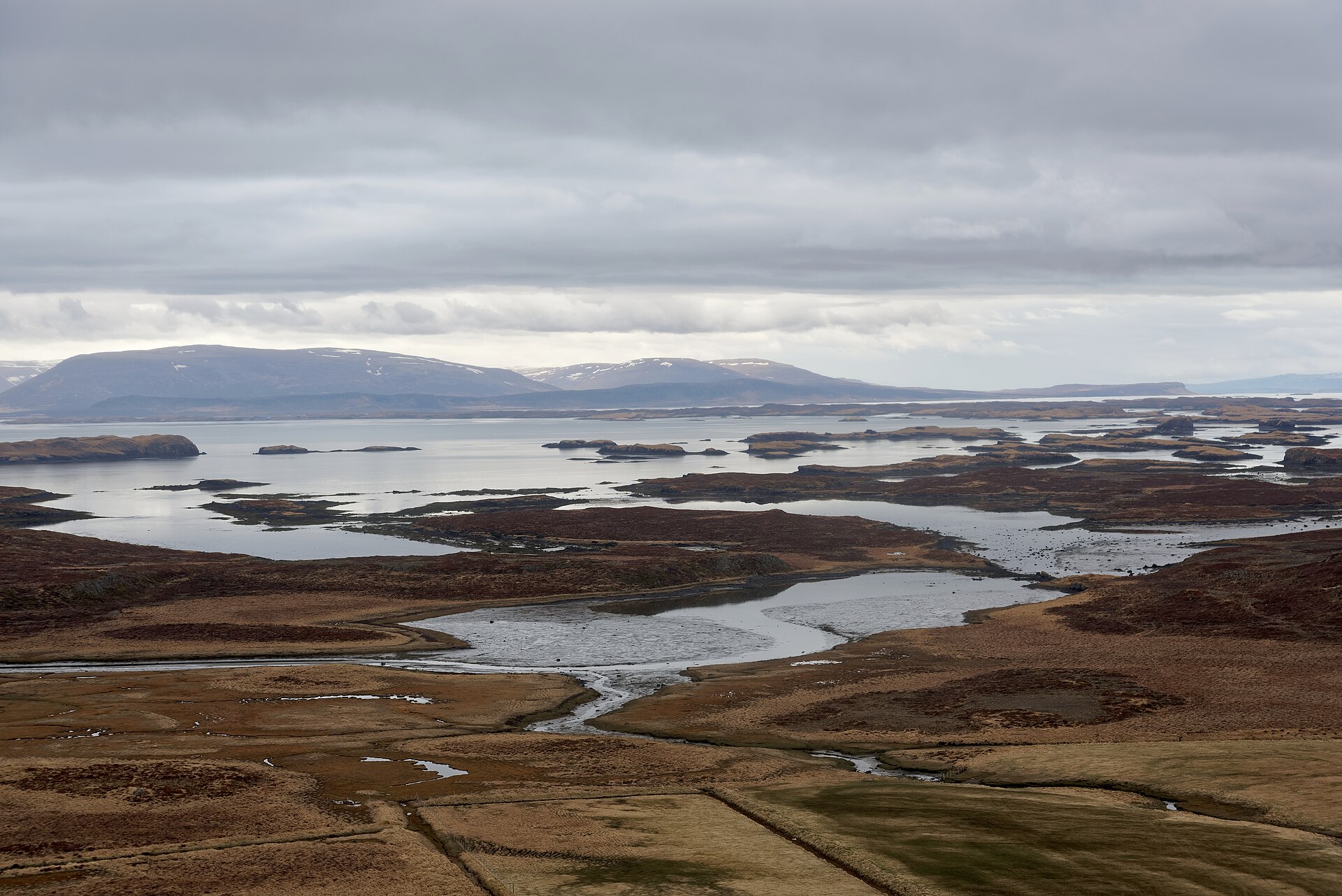
Snæfellsnes packs a broad range of landscapes into a manageable peninsula: the approach through Borgarnes leads towards mountain roads, fishing villages, sea cliffs and the distinctive profile of Kirkjufell. That concentration makes it a strong choice when a longer Ring Road itinerary cannot spare several nights. The trade-off is that the attractions are spread around the peninsula, so a map pin is not the same thing as a sensible daily order.
Explore the Snæfellsnes destination guide for the wider area context. On the south coast, the Arnarstapi–Hellnar coastal walk adds roughly 2.5 km, so allow time for the walk itself and for the exposed coastal conditions.
| Stop | Why it belongs on the route | Suggested time | Planning note |
|---|---|---|---|
| Kirkjufell | Iceland's most recognisable mountain-and-waterfall viewpoint | 30–60 minutes | Use the available light and take care around the viewpoint in poor weather. |
| Arnarstapi | Coastal cliffs, harbour scenery and access to the Hellnar walking route | 60–120 minutes | Allow more time if you are walking the full coastal section. |
| Búðakirkja | A small historic black church set in an open lava-field landscape | 20–45 minutes | Pair it with nearby stops rather than making a long detour. |
| Snæfellsjökull National Park | Coastal scenery, lava landscapes and access to several viewpoints | 45–90 minutes | Choose a short, safe stop when visibility or conditions are uncertain. |
How to read the route map before you set off
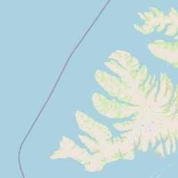
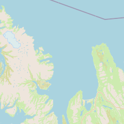
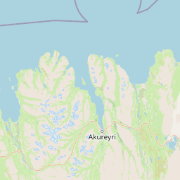
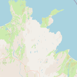
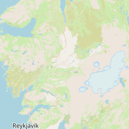
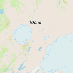
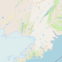
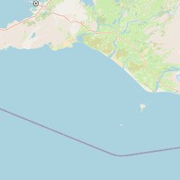
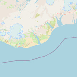
The OpenStreetMap view below places Reykjavík, Borgarnes, Stykkishólmur, Grundarfjörður and Arnarstapi in context. It is useful for understanding the peninsula's shape, but it does not replace checking current road conditions, closures or weather before departure. Treat the map as a planning aid and keep the day's final decision with the road report.
Choose your overnight base around the next day's driving
Stykkishólmur is a useful base when you want to explore the northern side before continuing elsewhere. Borgarnes works well at the approach or on the return, especially when you want to keep the following day's drive shorter. Arnarstapi suits travellers prioritising the south-coast scenery, although accommodation choice is narrower than in the larger towns.
If the route is part of a wider trip, compare the peninsula plan with the Snæfellsnes destination guide and the Iceland daily driving-time guide. A stop that looks close on the map can still take much of a daylight window once parking, walking and road conditions are included.
ICENAVI · ROUTE DECISION
Should you make Snæfellsnes a one-night stop or a slower loop?
Choose one night when the peninsula is a priority and you can accept a focused day with a clear stop order. Choose a slower loop when you want time for coastal walks, changing light and a weather buffer. The deciding factor is usually the following day's destination, not the number of attractions you can mark on a map.
Build the day around daylight, not an optimistic arrival time
Start with the fixed elements: where you collect or return the car, which direction you are travelling afterwards, and the overnight base. Then place Kirkjufell, the south-coast cliffs, Búðakirkja and the national park into the available daylight. Grundarfjörður and Stykkishólmur can anchor the north, while Borgarnes gives the route a practical transition point. Keep one flexible stop rather than filling every hour.
See the full Snæfellsnes destination coverage before you set the order. If the day follows a long drive, use the Iceland accommodation planning guide to choose a base that reduces the next transfer instead of adding another backtrack.
A two-day version is easier to keep calm: use the first day for the approach and northern highlights, then reserve the second for the south coast and the onward drive. The exact split depends on your season and road conditions.
What to check before leaving the main road
Coastal viewpoints can become uncomfortable quickly in wind, rain or poor visibility. Check SafeTravel guidance and the road authority's current information before committing to exposed walking sections. Keep footwear, warm layers and a charged phone accessible, and do not turn a viewpoint into a risky detour simply because it is marked on the itinerary.
For winter planning, check the Iceland northern-lights season guide separately from the road plan. Darkness, cloud and road conditions can change the order of the day; the aurora should remain an optional evening possibility, not a reason to drive beyond safe limits.
Quick comparison: which stop earns your limited time?
| Stop category | Best reason to include it | Time trade-off |
|---|---|---|
| Kirkjufell and Arnarstapi | Strongest combination of landmark scenery and a coastal walk | Needs a generous buffer for weather and walking. |
| Snæfellsnes villages | Food, harbour atmosphere and a slower break from viewpoints | Works best when the route already passes through the town. |
| South-coast church and lava stops | Distinctive landscapes with shorter visits between longer drives | Combine nearby places so the detour stays controlled. |
| Northern-lights evening | A possible seasonal add-on after the driving day | Visibility and safe return timing are never guaranteed. |
Five checks that keep a compact itinerary realistic
- Set the overnight town before choosing the final viewpoint, so the route ends with a manageable drive.
- Check the forecast and road information on the morning of travel, then remove exposed stops if conditions deteriorate.
- Allow the full 2.5 km Arnarstapi–Hellnar walk only when daylight, footwear and weather support it.
- Keep food and fuel decisions practical around Borgarnes and the peninsula's smaller settlements.
- Leave a flexible block for a viewpoint, café or early finish rather than scheduling every minute.
Snæfellsnes rewards a clear route with room to adjust. The peninsula can fit neatly into a wider Iceland itinerary, but its best moments depend on stopping when conditions and light are right rather than chasing a fixed checklist.
Final call: make the peninsula your route, not a checklist
For most short Iceland self-drive plans, Snæfellsnes is a strong one- or two-night addition because it offers recognisable landmarks, coastal walking and varied scenery without the scale of a full Ring Road detour. Keep the north and south sections connected by a sensible overnight base, and let the weather decide which viewpoint gets priority.
With a two-day plan, Grundarfjörður can carry the landmark focus, Stykkishólmur can provide a calmer northern stop, and Borgarnes can simplify the approach or onward journey. That division keeps the route readable while leaving space for the peninsula's changing conditions.
Q&A: How should I plan a Snæfellsnes road trip?
Is Snæfellsnes practical as a short self-drive?Yes. It is practical when you choose a realistic overnight base and do not treat every marked stop as mandatory. The compact geography gives you options, but the coastal roads still need weather and daylight buffers.
Where should I stay for the northern side?Stykkishólmur is a useful northern base, while Grundarfjörður is convenient for the Kirkjufell area. Borgarnes is helpful for the approach, the return journey or an onward route.
Is Grundarfjörður or Stykkishólmur better than Borgarnes for a stop?Grundarfjörður keeps you near the landmark scenery, Stykkishólmur offers a more settled harbour base, and Borgarnes is the practical transition point. Choose based on the next day's direction and accommodation availability.
Can I complete the route in a single day?It is possible to see several highlights, but a single day leaves less room for the 2.5 km coastal walk, weather changes and unplanned delays. A one-night or two-day plan is easier to manage.
References
- Visit West Iceland · Snæfellsnes — regional destination information.
- SafeTravel Iceland · Driving — safety guidance for driving conditions.
- Icelandic Road and Coastal Administration — current road and coastal information.
- © OpenStreetMap contributors — map data attribution.
- Photo: Anjali Kiggal, Wikimedia Commons, CC BY-SA 4.0 — Kirkjufell image.