
ICENAVI SOUTH COAST FIT
The wreck is close; the walk is not
These scores weigh walking effort, distinctiveness, weather tolerance, shuttle convenience and how well the stop fits a South Coast route. Recheck the timetable, price and parking for your travel date.
The aircraft shell on the black-sand plain has a clear story and sense of scale, unlike the South Coast's waterfall and glacier views.
The return is 7–8 km over level but repetitive ground with no shelter; a strong wind can make the way back harder than the way out.
It replaces most of the flat walking with a short ride, leaving time for Skógafoss or a glacier activity; match the timetable and waiting time first.
There is little shelter on the plain, so sand can affect your eyes, camera and pace; shuttle passengers still board and alight outdoors.
It sits between Skógafoss and Vík and can be paired with waterfalls, a glacier or the black-sand coast; the walking version takes half a day.
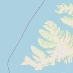
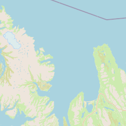
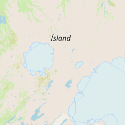
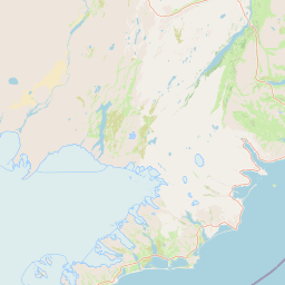
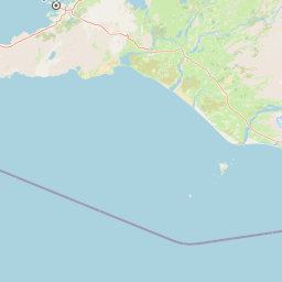
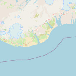
 Plane wreck (DC-3)Walk or shuttle destinationSólheimasandur parking areaRoute 1 entranceSkógafossWestern waterfall stopSólheimajökullActivity meeting directionVíkAccommodation and dinner
The walk is an open plain, not a trail with new scenery
The hard part to picture is how little the view changes. Mountains and a dark point sit ahead on the way out; the return follows the same line to the parking area. There is no shelter, shop or water stop, so wind can turn the empty space into the day's main physical cost. If your group walks at different speeds, agree to meet at the wreck before starting back.
The 3.5–4 km distance is mostly level, but black sand, gravel and a change in wind can slow the return. Walk it when the open plain is part of the experience. If the goal is a photograph of the aircraft, the shuttle preserves the same final scene without asking for several kilometres of featureless ground.
Carry water, eye protection and a windproof outer layer. Long summer daylight does not remove the cold, and a spring or autumn return can reach the darker part of the plain. Follow the marked route; a phone map is not a reason to enter vehicle-restricted ground.
The shuttle keeps the wreck inside a South Coast half-day
The shuttle buys a faster exit when sand is hitting your face and the full walk back is still ahead. That matters for camera bags, strollers and tired knees. Save the return departure before leaving the parking area; signal and wind noise are not reliable planning tools on the plain.
A ride leaves time for Skógafoss or Sólheimajökull, but it is not an instant visit. Count the queue, waiting and final departure, and remember that the wreck is still outdoors. Compare the fare with the glacier check-in, dinner or Vík arrival that the recovered time protects.
Set the next booking before choosing your return
If Sólheimajökull is booked for the afternoon, its meeting time outranks the wreck. Start there, subtract the drive, parking, shuttle wait and return to Route 1, and the remainder is your wreck window. From Vík, include any backtracking; from Reykjavík, protect the lunch and evening check-in. Put the departure time on everyone's phone before entering the plain so the return does not become a group debate.
| Your situation | Better fit | Time budget | Trade-off to accept |
|---|---|---|---|
| Want a slow walk, long daylight and light winds | Walk there and back | About 2–3 hours | 7–8 km, little shelter and a repetitive return |
| Only want the wreck and have a glacier meeting in the afternoon | Shuttle | About 1–1.5 hours, plus waiting | Fare, timetable and queue |
| Strong wind, blowing sand or too little daylight | Skip it or choose an indoor alternative | Keep 1–2 hours for a change of plan | Miss one landmark in exchange for safety and energy |
| Skógafoss, the black-sand coast and Vík are already on the same day | Take the shuttle or remove the wreck | Work backwards from check-in | You cannot give every stop a full visit |
The wreck changes shape depending on where it sits in the day
Travelling east from Reykjavík, a common South Coast sequence is Seljalandsfoss, then Skógafoss and the wreck, with a night in Vík. Travelling west from Vík, you can put the wreck in the morning and decide whether Skógafoss is worth backtracking for after checking the shuttle timetable. If you have booked a Sólheimajökull glacier hike, its meeting time matters more than the wreck, so secure that first and fit in the walk afterwards; if the two collide, the wreck is the easier stop to remove.
You can also treat the wreck as a weather alternative. When waterfall spray is too heavy, the black-sand plain may still be visitable; when the wind is too strong, both the plain and shuttle boarding are affected. After reading our comparison of Skógafoss and Kvernufoss, see how to time Vík's black-sand beach and Dyrhólaey so you can remove a repeated black-landscape stop. The Vík destination page can lead into a night before Jökulsárlón; if you are moving gradually from the west, Hvolsvöllur gives you an earlier South Coast resupply window.
If you are not going to the wreck, the area near the parking site can still work for a brief stretch and water break. Do not linger on the roadside.
ICENAVI · SÓLHEIMASANDUR CALL
Take the shuttle for the aircraft; walk for the open plain
The wreck is only the final point. Wind, daylight, the next booking and your energy decide whether the journey earns its place. The shuttle gives time back to other South Coast stops; walking makes the black-sand plain the subject. Choose that time budget before leaving Route 1.
Q&A | Before visiting the plane wreck
Can I drive directly to the plane wreck?
Vehicles cannot cross the black-sand plain to the wreck. Walk from the designated parking area or take the shuttle.
How far is the walk?
The wreck is about 3.5–4 km one way from the parking area, or roughly 7–8 km return.
Is the shuttle worthwhile?
When you mainly want the wreck and also have a glacier or waterfall on the day, the shuttle saves a large amount of flat walking time. The timetable and fare depend on the day's arrangements.
Can I walk there in winter?
Short daylight, snow, wind and visibility can make the return across the plain harder to control. Check the forecast before setting out and switch to the shuttle or skip it when necessary.
Can I combine it with Skógafoss on the same day?
Yes, but the walking version takes half a day. If you also have a glacier activity, secure its meeting time first and then choose the wreck version.
Is it suitable for children?
The shuttle is easier to manage than a 7–8 km walk. The plain has little shelter, so bring water, warm clothing and wind protection.
References
- Visit South Iceland: Sólheimasandur (DC-3 history, parking area and vehicle restrictions).
- Perlan: Sólheimasandur Plane Wreck (overview of walking distance and shuttle access).
- Plane Wreck Shuttle (example shuttle service and timetable).
- OpenStreetMap contributors (map data used for the article map).