
ICENAVI PARK FIT
Separate trail length, climbing and glacier meeting time
Scores combine scenery, time control, walking effort, weather tolerance and how well the stop connects with the South Coast. Check trail access, parking and activity meeting details for your travel date.
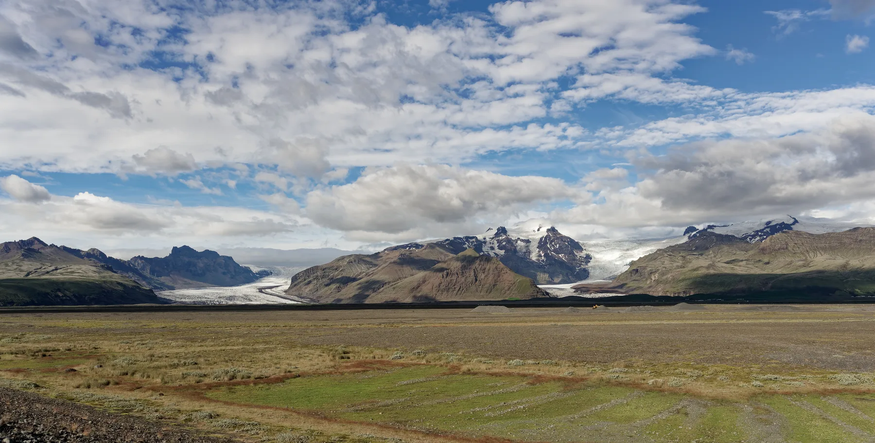
Basalt columns give Svartifoss a distinctive frame rather than the look of an ordinary waterfall, but you must walk into the park for the full view.
The glacier viewpoint can be shortened according to energy; the Svartifoss loop has a defined shape, so turning back halfway gives up part of its value.
The Svartifoss trail includes climbing and steps. The glacier viewpoint is easier to control, but loose ground near the ice still requires a safe distance.
Woodland blocks some wind and wet steps slow you down; cloud and rain affect the glacier view more, so the shorter option is more practical in poor weather.
Skaftafell sits between Vík and Höfn and links naturally with the lagoon, glacier activities and South Coast accommodation; a fixed meeting time reduces Svartifoss flexibility.
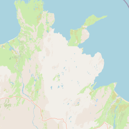
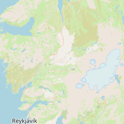
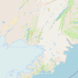
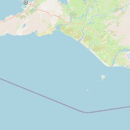
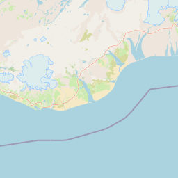
 Skaftafell Visitor Centre
Two trail starting points
Svartifoss
S2, about 5.8 km loop
Glacier-tongue viewpoint
Turn around with your energy
Jökulsárlón
Boat or ice-cave connection
Vík
Western base
Skaftafell Visitor Centre
Two trail starting points
Svartifoss
S2, about 5.8 km loop
Glacier-tongue viewpoint
Turn around with your energy
Jökulsárlón
Boat or ice-cave connection
Vík
Western base
Svartifoss earns its time when the trail is the point
Svartifoss is about the basalt columns as much as the water. From the visitor centre, the path climbs through woodland to the viewpoint; the park lists the S2 loop at about 5.8 km and around 2 hours. The ascent is most obvious on the way out, while wet steps and leaves slow the return after rain.
Leave the higher viewpoints out unless the return is already protected. S2 works when the sequence of woodland, Hundafoss, Magnúsfoss, Sjónarsker and the basalt-framed waterfall is what you came for. If someone turns back early, agree a meeting point before the trail starts cutting into the next booking.
The glacier viewpoint lets you turn around cleanly
The glacier-tongue route starts at the same visitor centre but trades waterfall columns for ice, meltwater and a retreating edge. Walk to a safe point and turn around when weather or energy changes; loose gravel and water can appear near the ice, and marked boundaries are not optional.
Use it around a glacier hike only after writing down the operator’s meeting point and safety briefing. The S1 route is about 4.1 km, roughly 1–1.5 hours, with about 80 metres of ascent; its paved first half and firmer gravel make a short out-and-back easier to manage. With only 75 minutes, keep S1 short instead of trying to squeeze in S2.
After arrival, write down three times on the same line: parking payment, trail departure and activity check-in. If a glacier hike meets at 14:00, leave at least 30 minutes to return to the car, change shoes, collect equipment and find the meeting sign, then work backwards to set your S1 turn-around point. Viewpoints easily absorb ten extra minutes; photographs, toilets and putting on a jacket are what cause the day to run late. That is why the short trail is better on an activity day.
If companions split up, S1 lets one person return to the visitor centre while another stays at the viewpoint. S2 suits a group that leaves and returns together. That distinction affects the next booking, especially with one car and a firm Jökulsárlón arrival time.
| Your situation | Better-fit route | Time budget | Trade-off to accept |
|---|---|---|---|
| Want basalt columns and can stay two hours | Svartifoss S2 | About 2 hours / 5.8 km | Climb, steps and wet leaves |
| Only one hour and heading to Jökulsárlón tomorrow | Glacier-tongue viewpoint | Turn around with your energy | Cloud and fog can reduce the ice view |
| Already booked a glacier hike | Activity first, short viewpoint stop | Work backwards from check-in | No room for the full Svartifoss loop |
| Persistent rain and ordinary shoes | Short glacier route or indoor park information | Keep 1–2 hours for a change of plan | One geological angle may be missed |
Fit Skaftafell around the booking you cannot miss
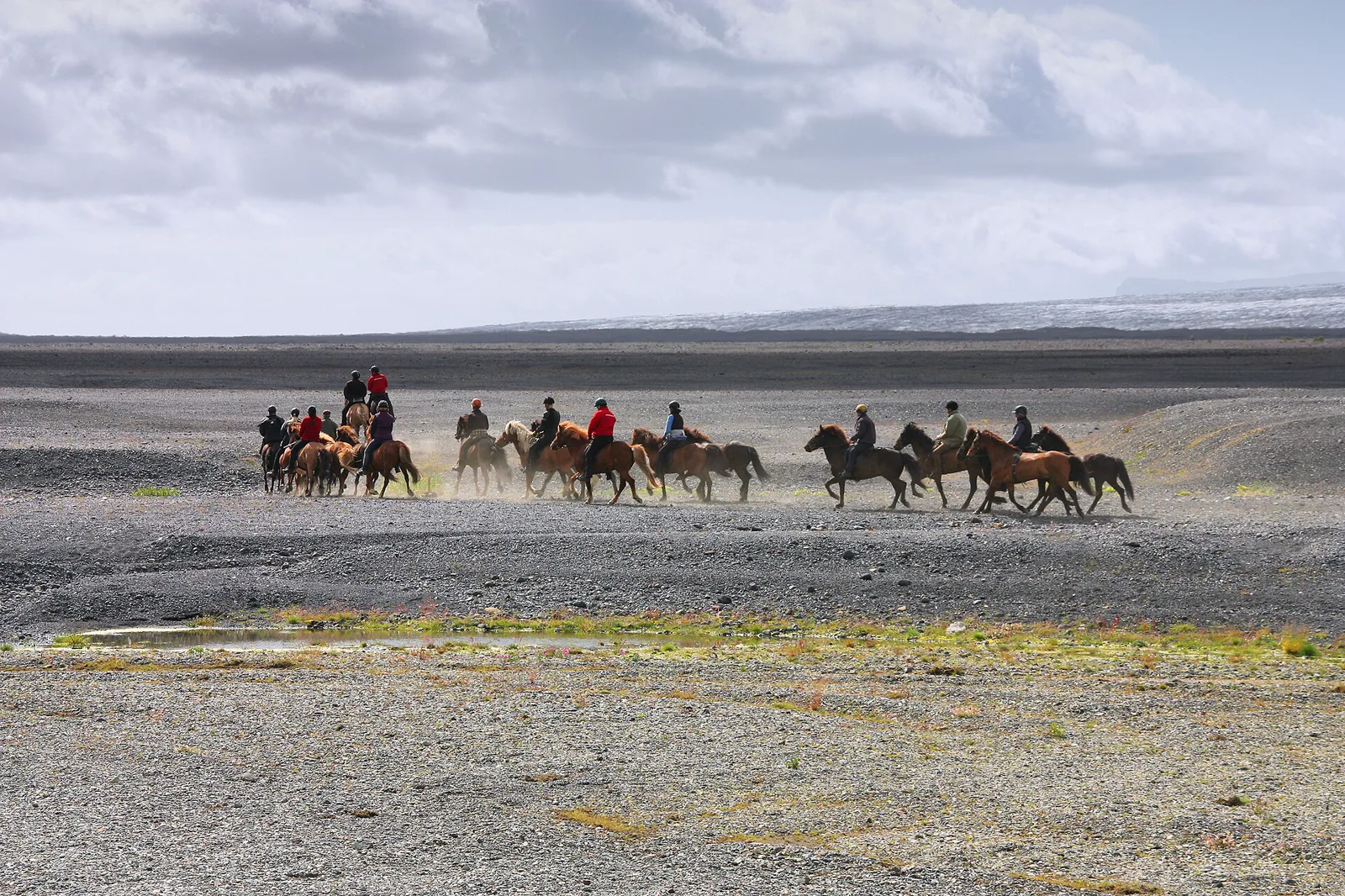
From Vík, Skaftafell can be the morning's main walk before continuing east. From Höfn, the glacier viewpoint is the safer short stop when a boat or ice-cave booking has a fixed check-in. Svartifoss needs a protected block, especially when wet steps slow the return.
Use the Jökulsárlón and Skaftafell route guide to place the lagoon and accommodation, then compare the glacier hike and ice-cave choice if the activity is the day's anchor. Heading west, Vík is a more sensible next base than adding every stop to one tight transfer.
ICENAVI · SKAFTAFELL CALL
Let the fixed booking set your walking distance
Choose Svartifoss when you can protect the S2 loop and want the basalt geology. Choose the glacier viewpoint when you need an adjustable walk around weather, energy or a Jökulsárlón check-in.
If rain makes the steps slow, stop while the return is still clear. A shorter route that you finish safely is more useful than a full loop that moves dinner and accommodation into the dark.
Q&A | Before visiting Skaftafell
How long does Svartifoss take?
The park lists the S2 Svartifoss loop at about 5.8 km and around 2 hours; climbing, steps and weather change the actual time.
Is the glacier-tongue viewpoint shorter?
Usually. You can walk to a safe viewpoint and turn around, making the timing easier to control than a fixed loop. Keep beyond the marked ice edge.
Should I still walk to Svartifoss after booking a glacier hike?
Protect the activity meeting time and safety briefing first. If only an hour remains before or after, the short glacier viewpoint is more practical.
Does Skaftafell charge for parking?
National park parking has a separate charge; confirm the payment method and amount on the day of travel.
Can I combine Skaftafell and Jökulsárlón in one day?
Yes. From Vík heading east, walk Svartifoss in the morning and continue to Jökulsárlón; from Höfn heading west, choose according to the boat and activity schedule.
Is Svartifoss suitable in rain?
It is possible, but wet leaves, steps and mud lengthen the return. If your shoes have poor grip, use the shorter glacier route or leave the walk for another day.
References
- Vatnajökull National Park: Svartifoss / Sjónarnípa (park route and viewpoint information).
- Vatnajökull National Park: Skaftafell (park area information).
- Visit South Iceland: Svartifoss (regional waterfall information).
- OpenStreetMap contributors (map data).