
ICENAVI RAUÐASANDUR FIT
Sand colour, tides and Route 614 decide the stay
Scores focus on the factors that genuinely change the day: walking time, light, Route 614, wildlife and where you sleep.
A 10km stretch of colored sand and open coastal views feels entirely different from Iceland’s more familiar black-sand stops.
Route 614 leads to a coastal spur with limited exits. Squeezing the beach and the cliffs into one day will push back dinner and check-in.
Low tide opens up the shore for walking and seal watching. Light and tides shift together, making it hard to catch both in a short stop.
Seals and seabirds appear along the coast, but treat this as a chance for observation, not a scheduled show.
Melanes campsite is close to the shore, making it easy to spend dusk and dawn on the beach. Lodging options are limited, so book early.
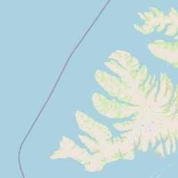
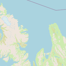
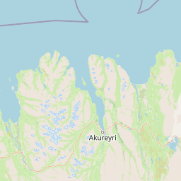
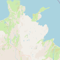
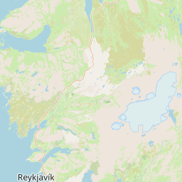
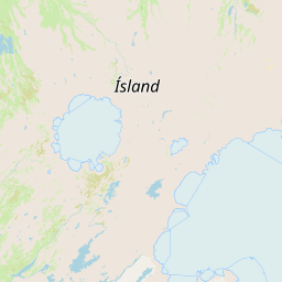
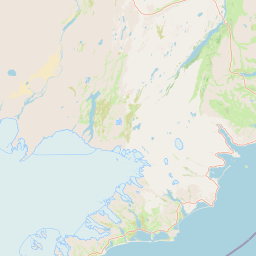
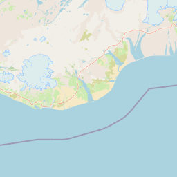
 RauðasandurRoute 614 / 10km coast
LátrabjargSeabird cliffs
PatreksfjörðurLodging / Supplies
BíldudalurSea Monster Museum / NE Exit
ReykhólarFerry / West Exit
RauðasandurRoute 614 / 10km coast
LátrabjargSeabird cliffs
PatreksfjörðurLodging / Supplies
BíldudalurSea Monster Museum / NE Exit
ReykhólarFerry / West Exit
Why Rauðasandur takes longer than the map suggests
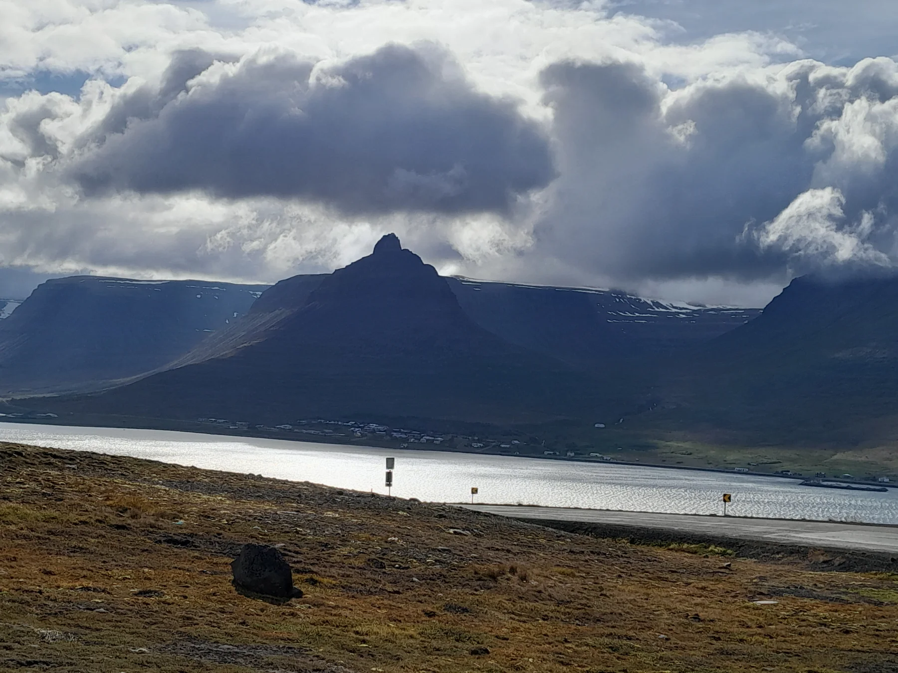
The sand color at Rauðasandur shifts with light and weather. The beach stretches about 10 kilometers, with coves of white, yellow, red, and black sand along the shore. On a clear day, looking down from the mountain road, the red is most vivid. Under heavy cloud cover, the beach turns more orange or coppery. After taking your first photo, walk a bit along the waterline to see how the colors transition with tide level and moisture.
Seals and seabirds appear along the coast; give the animals their space when observing. If you only budget 30 minutes, you’ll likely just take photos at the entrance and might not see any seals. With two hours or more, you have room to walk to quieter sections of the sand before heading back to the car for the next leg of Route 614.
Route 614 needs time for the descent and return
Rauðasandur sits off Route 614. The spur adds considerable time to any same-day plan for Patreksfjörður and Látrabjarg. Before descending, check your fuel and water, and confirm your return route. There are no town services on the coast, and dinner time won’t wait for you to finish photographing the sunset. Traffic management may be implemented on major event days; for example, during the solar eclipse on August 12, 2026, one-way traffic was arranged on Route 614. Recheck any such arrangements before you depart.
Starting from Patreksfjörður, you can visit Rauðasandur first, then head to Látrabjarg. If you are returning from the cliffs, make Rauðasandur your evening stop. Both directions work; the difference is whether you want to tackle the longest spur in the morning or afternoon. If you’re leaving the southern Westfjords the next day, staying in Patreksfjörður gives you easier access to supplies. If you want to see the intertidal zone and morning light, staying near the Melanes campsite is more convenient.
| Available Time | Suggested Plan | Lodging Direction | Plan This First |
|---|---|---|---|
| ~1 hour | Entrance photos, short beach walk, immediate return | Patreksfjörður | Route 614 descent and return |
| 2–3 hours | Walk along the waterline, watch seals/seabirds | Patreksfjörður or Melanes | Tides, light, next meal time |
| Full half-day | Rauðasandur + Saurbæjarkirkja or Móbergsfoss | Melanes saves backtracking | Spur parking, walking, return daylight |
| Rauðasandur + Látrabjarg | Early start, set clear time caps for both coastal points | Patreksfjörður | Cliff trail, Route 614/612 round trip, dinner |
Check the time once you reach the coast; this simple habit can keep the rest of your evening on schedule. If you’re already approaching the last usable light on the cliff trail, keep Rauðasandur to a short walk and skip the second cove. If you still have two hours, walk farther along the waterline. When wind funnels down the valley, it can drive sand against your legs, so take care when opening the car doors and protect your camera. For seals, wait quietly instead of following the animals. For photographs, the boundary between wet and dry sand usually shows more texture than the pale, flat beach at noon. If the sky clears, take the wide view first, then move closer to the water; on the way back, you’ll see the same sand shift from red to gold. That change is what makes Rauðasandur worth the extra time. Give the beach a defined place in the itinerary so it does not shorten the next day’s drive. It also helps you choose between staying on the coast and returning to Patreksfjörður.
ICENAVI · RAUÐASANDUR CALL
Plan the arrival and return in daylight
Rauðasandur is not a tiny viewpoint beside the parking area. Westfjords tourism information describes roughly 10 km of coast whose colours shift from yellow to red with light and weather. If you only want a few photographs, use the view near the parking area instead of walking until the return time disappears. Tides change the width of the beach, so agree on a turn-around point when children or slower walkers are joining.
Route 614 drops from the high road to the coast, and the timing must include the slopes, passing and walking, not only the navigation estimate from Patreksfjörður. The road is steep and narrow; oncoming traffic, works or poor visibility can add time. Do not stop on the shoulder for photographs or squeeze Routes 614 and 612 into one tight window. If sunset, check-in or a long drive is fixed, make the beach the day’s one proper stop.
If Látrabjarg is also on the day’s route, schedule the more distant spur first and see what time remains. The cliff reserve requires visitors to stay on safe paths, avoid birds and wildlife, and not camp or drive off-road. Use marked parking and trails; a companion who dislikes narrow, steep roads may be better waiting in a village than being pushed through two remote stops.
Treat seals and seabirds as wildlife to observe, not approach
Rauðasandur is habitat as well as a beach. Keep your distance from seals, lower your voice and never surround, feed or coax an animal to look up. If a pup or another animal is moving towards the sea, step back and leave a clear route. Long-distance photographs preserve more natural behaviour and keep a group from spreading across the shore.
Take food wrappers, tissues and cigarette ends back with you. If the wind rises, the tide closes in or loose sand makes walking unstable, shorten the visit and return to the parking area. The colour of the beach can wait; a safe way out should not be traded for another photograph.
Make Route 614 conditions the final check before departure
Do not plan the spur from a sunny driving video alone. Westfjords tourism guidance asks visitors to check current road and weather conditions before leaving; if Route 614 is closed or marked unsuitable, cancel the beach rather than bypassing the closure or using an unmarked track. This matters even more when Látrabjarg is planned for the same return journey. Keep Patreksfjörður or your booked accommodation as a safe fallback and check the road again on the day.
Plan Rauðasandur around light, tide and the drive back
Allow a short stop for the color, half a day for the coast, or an overnight stay if you want dawn and dusk on the sand. Rauðasandur and Látrabjarg can be done in one day, provided you account for the spur drive, tides, and that night’s accommodation together.
If you’re entering from the southern Westfjords, read Patreksfjörður to plan your supply stop, then use Látrabjarg Self-Drive vs. Day Tour to choose how to reach the cliffs. To combine the southern hot springs with sea fishing, see Tálknafjörður. From the Arnarfjörður direction, visit the Sea Monster Museum in Bíldudalur first and leave Rauðasandur for a full coastal day.
Q&A | Ask Before Going to Rauðasandur
Is Rauðasandur worth the detour?
Yes, if you have two hours or more, enjoy coastal walking, or want to see different sand colors. If you are only passing through, plan a short photo stop.
Do I need to plan for tides?
Low tide offers more walking space on the beach. If you want to walk along the waterline, check tides and sunset time together.
Can I do it with Látrabjarg in one day?
Yes, but start early and limit your time at each stop. Both spurs add driving time, so plan dinner and accommodation in advance.
Where can I stay?
Melanes campsite is close to the beach; Patreksfjörður has more supplies and lodging. Choose based on your next day’s exit.
Will I see seals?
Seals and seabirds are active on the Westfjords coast, but sightings are a matter of chance and do not follow a set schedule.
Can a small car handle Route 614?
Judge the route by daily road conditions and rental terms. Don’t just look at map distance; check the return drive and passing space after the descent.
References
- Visit Westfjords | Rauðasandur (beach length, sand color, seals/seabirds, Route 614 & Melanes).
- Visit Westfjords | Beaches & Cliffs (Rauðasandur and Westfjords coastal context).
- Visit Westfjords | Solar Eclipse 2026 (example of Route 614 one-way traffic arrangement in 2026).
- OpenStreetMap contributors (real map base for this article).