
Ásbyrgi does not look like Iceland's usual bare-rock scenery. Once inside the horseshoe-shaped hollow, birch and willow narrow the view, while Eyjan stands like an island in the grass; only at the rim do the cliffs fall away suddenly. Public trail information describes the hollow as about 3.5 kilometres long and about 1.1 kilometres wide, with inner walls up to about 100 metres high. These figures are useful for planning: half an hour can take you inside, but an upper viewpoint requires real walking time.
ICENAVI ROUTE FIT · JÖKULSÁRGLJÚFUR
What kind of North Iceland plan suits Ásbyrgi
These scores assess factors supported by public trail and route information; recheck Route 85 and park access for your dates.
The hollow, forest, cliffs and Eyjan are concentrated along several walks that can be shortened.
The remote Route 85 drive means accounting for fuel, lunch and the return time together.
It connects with the Arctic Coast, Dettifoss and a two-day Jökulsárgljúfur canyon route.
Choose the short walk first, then judge whether the drive pays back
The shortest version is Botnstjörn: walk from the parking area into the trees and to the pond, about 1 kilometre and 30 minutes; the information describes it as suitable for people with limited mobility. For a view from above the hollow, Eyjan is about 4.5 kilometres and 1.5–2 hours. It remains easy, but the rim has high cliffs, so do not hand your footing to the camera frame. Both walks stand alone, so you do not need to turn the whole national park into a full-day hike.
| What time you have | Suggested route | Time required | ICENAVI call |
|---|---|---|---|
| Only 1 hour | Botnstjörn short walk | About 30 minutes walking, plus parking | Worth stopping when passing along Route 85 |
| Half a day without rushing the next stop | Botnstjörn + Eyjan | About 2–3 hours, allowing for photos and water | The best use of Ásbyrgi |
| A full day, with the waterfall next day | Add Hljóðaklettar / Vesturdalur | According to park routes and road arrangements | Consider staying one more night in North Iceland |
| Driving back from Húsavík only | Do not chase the whole park | The return road is the main cost | Choose a Húsavík or Mývatn activity instead |
The exit point is what shapes the accommodation choice. Húsavík has a harbour and evening meals, so it suits a North Iceland route that includes whale-watching; Mývatn connects more easily with geothermal areas, craters and the eastbound Route 1. Ásbyrgi takes you into another North Iceland: the road is part of the day and services are less dense than in a town. If you start from the Húsavík destination guide and stay two nights in town, do not treat Ásbyrgi as a half-day that can be added every evening; if you have committed to the Arctic Coast, Raufarhöfn and the Arctic Coast can be split into two different tasks.
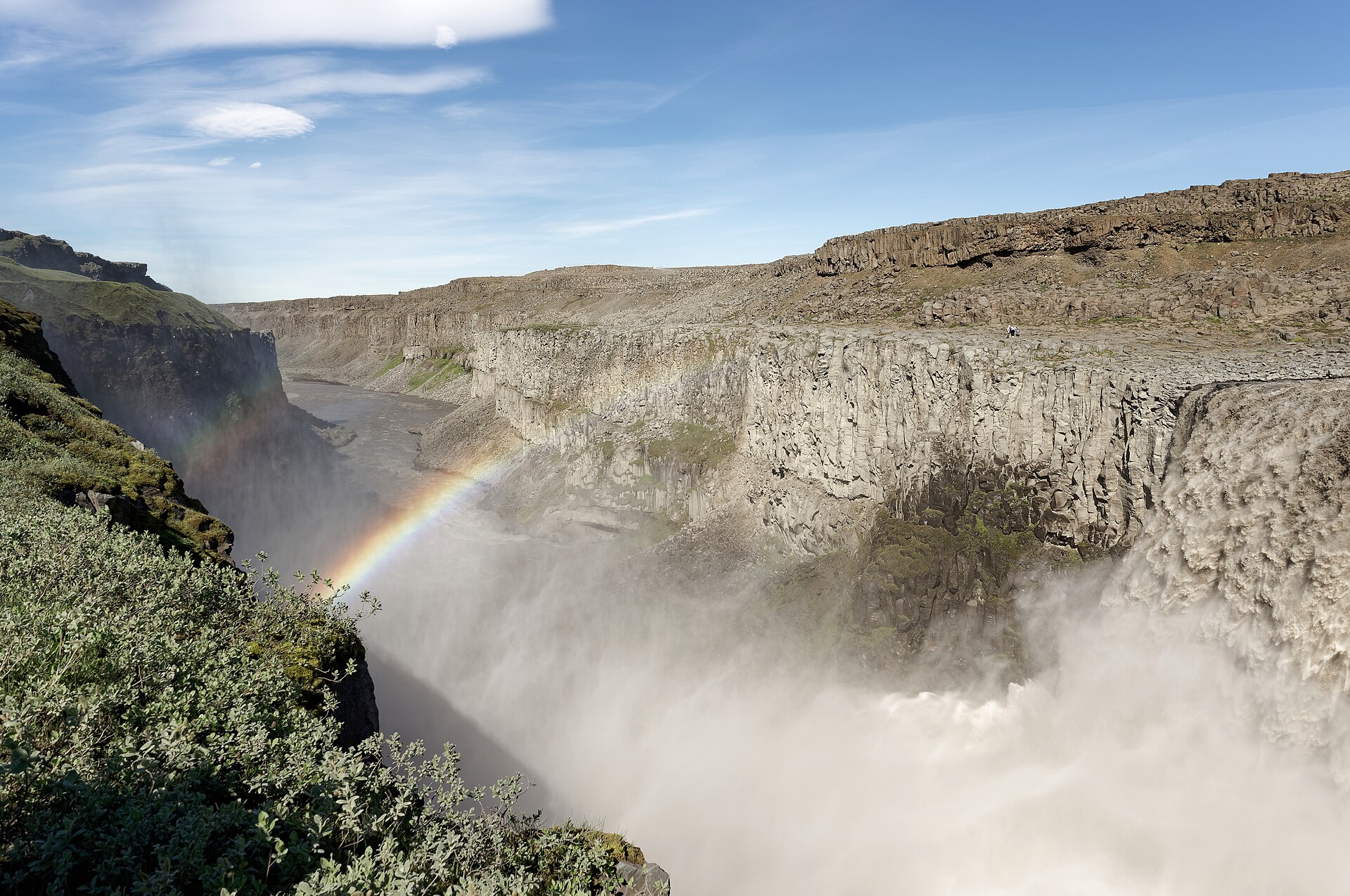
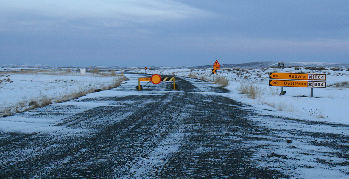
From the east, Ásbyrgi can be planned with Dettifoss east or west, but first separate the road entrances: the two names do not describe one scenic road. National park information lists the Ásbyrgi–Dettifoss canyon route as 32 kilometres and usually two days, with camping only at designated sites. That is a hikers' route, not an ordinary one-day self-drive connection. If you simply want a waterfall during the drive, judge the east and west roads and your vehicle separately.
How to read the map: The map below uses real public geographic locations to show why Húsavík, Ásbyrgi and Dettifoss are not one small loop; it is not navigation and does not show conditions on the day.
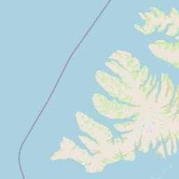
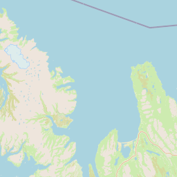
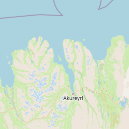
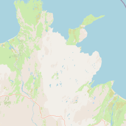
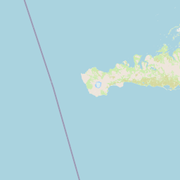
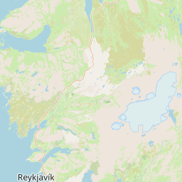
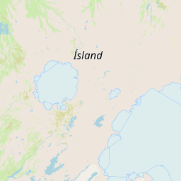
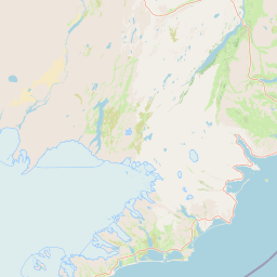 HúsavíkHarbour / baseÁsbyrgiShort canyon walksDettifossNorth-east exit
Reserve supplies and the return drive, not a larger list of sights
The experience around Ásbyrgi depends heavily on where the next service point is. From Húsavík, stock up on water, lunch and fuel before leaving so the short walk does not become a food search; from Mývatn heading north, check whether you still need to reach Route 1 that day. Botnstjörn and Eyjan can be shortened to suit your energy, but parking, putting on a jacket, taking photos and returning to the car still belong in the calculation. If a companion only wants one look at the canyon, the four-kilometre Skógarstígur or shorter Botnstjörn is more suitable than chasing a high viewpoint; if photographs and forest are the theme, Eyjan's one to two hours have a reason to take the afternoon. Akureyri is a useful service exit for North Iceland, but it is not a close base for Ásbyrgi; recalculate every return drive against the direction of the following night.
The season changes this answer. National park information usually lists the Ásbyrgi campsite as open from mid-May to the end of October; that does not mean every trail can be used in other months as though it were summer. If Route 85, a side road or the parking area is uncertain in winter or spring, treat Ásbyrgi as a side trip to confirm and keep a Mývatn / Húsavík base with reliable access and services. In summer, do not pack the 32-kilometre canyon route into one day just because the midnight sun is out; daylight can be longer, but legs and cars are not.
If you have already booked a whale-watching boat, Ásbyrgi is a poor choice for the other end of the same day. A boat has check-in, sea conditions and a return time, while North Iceland roads lack the urban density that can absorb a late arrival. Finish in Húsavík with GeoSea or a town dinner, then leave along Route 85 another day; that gives you room to cancel or turn back early. To compare how to divide two North Iceland nights, read how to split accommodation between Mývatn and Húsavík, then decide whether to add the canyon based on the next day's direction.
ICENAVI · FINAL CALL
Go to Ásbyrgi when Route 85 is your route; stay on the main line for a single-attraction return
Ásbyrgi works best as a base task within a North Iceland route: spend half a day on two short walks, stay near the park or continue towards the Arctic Coast, then handle the Dettifoss direction the next day. It is not a free extra beside Húsavík. Once that trade-off is clear, the drive, fuel and number of nights are easier to place.
Related reading
First check the North Iceland order on the Mývatn / Húsavík destination page, then decide whether to bring Route 85 into the plan.
More reading
For the waterfall roads, see Dettifoss east or west; for a fixed North Iceland activity, read whale-watching followed by Mývatn.
Q&A | Ask before setting out for Ásbyrgi
Is Ásbyrgi worth a same-day return from Húsavík?
It is more reasonable when you are already travelling along Route 85 and have a full day. A return drive just for Botnstjörn can outweigh the 30-minute walk.
Which walk is the shortest?
Botnstjörn is about 1 kilometre and about 30 minutes; Eyjan is about 4.5 kilometres and about 1.5–2 hours. They are separate short walks.
Can I do Ásbyrgi and Dettifoss on the same day?
For a self-drive trip, check the east and west entrances and the roads first. Do not treat the 32-kilometre canyon hiking route as an ordinary attraction transfer. Most travellers should allow two days or choose one focus.
Is it suitable in winter?
The answer depends on Route 85, side roads, parking and trail conditions. The campsite usually operates from mid-May to the end of October, so do not carry over summer-service assumptions into winter.
References | Check before departure
- Vatnajökull National Park: Ásbyrgi (hollow dimensions, short-walk distances and park information).
- Vatnajökull National Park: Jökulsárgljúfur (trail list, campsite season and canyon route).
- SafeTravel Iceland (recheck roads and departure conditions).
- OpenStreetMap contributors (base map for the branded map).