
L3 · SKÁLANES DECISION
Skálanes: should you hike or see it from a RIB?
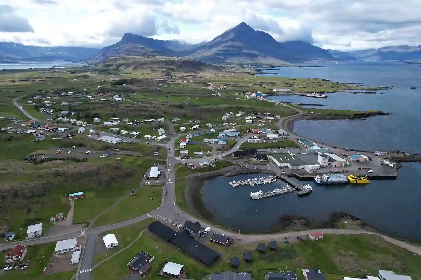
At the same fjord entrance, you can take a one-and-a-half-hour lowland walk or spend two hours on the water, viewing sea cliffs, waterfalls and birds from offshore. The photographs do not answer the practical question: do you want to give the afternoon to your own pace, or to a boat schedule and sea conditions?
ICENAVI · LAND OR SEA
The Skálanes decision is not whether a free walk beats a paid boat. The two ways of seeing the area assign different responsibilities to the same afternoon. On land, you decide where to stop; the RIB gives you a sea-level view that the trail cannot, but meeting time, flotation gear, sea conditions and the return to port are part of the day from the start.
Start with the view you want to take home
| What you actually want to do | Closer fit | Do not assume |
|---|---|---|
| Set your own stopping pace | Austdalur–Skálanes lowland trail | 4.5 km / 1.5 hours includes parking, river assessment, photographs and continuing to Skálanesbjarg |
| See the cliffs from the water | Seyðisfjörður RIB | The boat will enter a cave, show a particular bird or have calm seas |
| Have one afternoon before crossing the pass | Choose either the trail or a town activity | A two-hour boat trip is two hours door to door |
| Travel with a young child, pushchair or limited mobility | Check trail conditions and the group’s ability; do not assume the RIB works | The operator lists the RIB as unsuitable for wheelchairs and pushchairs, while the trail is not a level town pavement |
Use the map to separate four practical points
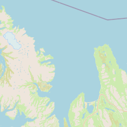
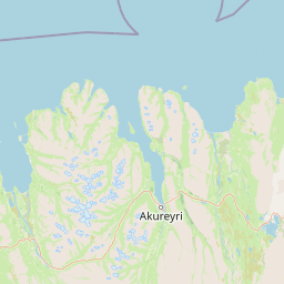
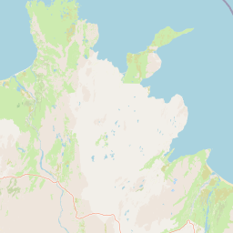
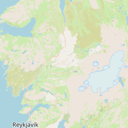
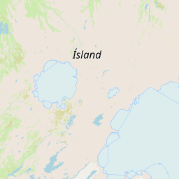
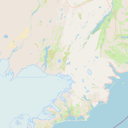
Skálanes may look like one name outside Seyðisfjörður, but the trail entrance, the boat meeting port, the fjord town and the nature centre are different points. The real OpenStreetMap base below keeps the useful directions together: the land route begins around Austdalsá, the RIB leaves from the port, and the nature centre sits at the fjord mouth. The map does not estimate your drive on the day or confirm that a river, road or boat route is open.
4.5 km is not a button-press itinerary
Austdalur–Skálanes is a lowland trail: 4.5 km takes roughly 1.5 hours. That is useful for deciding whether you have half a day, but it should not be copied as a hotel-to-hotel time. You still need to reach the trail entrance, deal with parking, weather, footwear, the river and stops. If you continue to Skálanesbjarg, the afternoon has less spare capacity. When Norröna arrival, a restaurant booking or the next day’s Fjarðarheiði pass is already in the plan, write the return time down before you set out rather than checking the clock at the bird cliffs.
| Task | What trail information confirms | What ICENAVI still leaves open |
|---|---|---|
| Reach the Austdalsá parking area | The trail begins at the riverside parking area | Departure from your accommodation, parking, finding the entrance and same-day road conditions |
| The trail itself | About 4.5 km / about 1.5 hours | Photographs, birdwatching, group pace and the river assessment |
| Continue to Skálanesbjarg | Information mentions continuing towards the bird-cliff landscape | Do not treat the extension as a free extra stop; check daylight and tiredness on the return |
| Return to town | Return by land, not a sea transfer | Dinner, boat check-in, hotel arrival and the next day’s hard pass deadline |
Closer to the bird cliffs is not automatically better
Visit Austurland identifies substantial bird breeding activity around Skálanes and asks visitors to stay on marked routes and act considerately. That is the difference photographs can hide: from a boat, the crew usually sets the safe distance from a cliff; on land, you choose whether to stop, lower your voice and keep out of restricted areas. Seeing more clearly is not the same as needing to walk closer. Nor should you push a companion to the furthest cliff edge to prove that the free trail was worthwhile.
One night and two nights produce different answers
If you stay one night in Seyðisfjörður, Skálanes is usually best treated as the day’s one main subject rather than an extra section before or after a boat trip. Two nights give you a real choice: walk on the steadier-weather day and put the RIB on another afternoon, or keep a cancellable land morning until the crew confirms sea conditions. If you arrive on Norröna, first collect the car, unload your bags and confirm the accommodation; do not turn ferry arrival into trail start time. The cautious-looking plan prevents you reaching the bird-cliff entrance only to discover that dinner, the mountain pass or the next boat is already counting down.
| Your nights / arrival | More reliable arrangement | Most regret-prone arrangement |
|---|---|---|
| One night, self-driving arrival | Choose either the trail or the RIB and keep return and check-in in the same time plan | Walk in the afternoon, then rush to a fixed boat trip or dinner |
| Two nights, changeable weather | Put the trail and boat on separate days and keep at least one option removable | Do both on day one and spend day two catching up on sleep and driving |
| Norröna arrival | Finish the car, luggage, check-in and official road-condition checks first | Treat ferry arrival time as if you were already at the trail entrance |
ICENAVI · SKÁLANES FIT
Land freedom 9/10; sea view 9/10; on-the-day flexibility is a different score.
The trail gives control of pace back to you, while the boat takes your view somewhere you cannot walk. If you have one afternoon in Seyðisfjörður, choose one rather than stacking the free trail and the two-hour RIB because you have already arrived. Two nights with genuine room to move are what make it sensible to separate them by weather.
If you want the boat, read the other decision page
If you have decided that you want the sea-level view rather than a land stay at the nature centre and bird cliffs, continue to the Seyðisfjörður two-hour RIB decision. It separates May to September, flotation gear, physical requirements, port meeting and your responsibility for the mountain pass after returning. If you only want a free land route near town, distinguish the waterfall valley from the mountain trail first; the Fossastígur and Vestdalur half-day choice puts the official routes’ timing and season in one table. If your priority is using Seyðisfjörður as a slower Eastfjords base, read the Seyðisfjörður destination page and the Seyðisfjörður or Egilsstaðir accommodation split before letting one sea-cliff photograph choose your number of nights.
Related reading
Choose one way to arrive
Seyðisfjörður RIB trip: is two hours worth it?
Seyðisfjörður town and fjord base
Choosing the first night after Norröna
More reading
Fit the trail into an Eastfjords pace
Seyðisfjörður or Egilsstaðir?
How to read Iceland’s road-condition site
Vök Baths or Forest Lagoon?
Q&A: check this before departure
Can we do the Skálanes trail and RIB on the same day?
Do not make that the default. The trail is about 4.5 km and the boat trip is about four hours; each has weather and energy costs. Choose the coastal angle you want first, then keep a buffer.
Does the unbridged river change the trail decision?
Yes. Austdalsá crossing conditions, the breeding area and on-site markings are hard safety limits. A map distance alone cannot establish that the route is feasible.
What should I check first for the RIB?
Confirm the fixed May-to-September schedule, meeting time and sea-condition cancellation terms first. Staying in Seyðisfjörður is a soft convenience, not a guarantee that a boat will run.
References
Trail, road, river, bird-season, boat, sea-condition, price and opening arrangements can change. The following was compiled in September 2026; before departure, check the current official pages, road information, on-site notices and operator updates again.
- Visit Austurland: Austdalur–Skálanes — the trail starts at the riverside parking area, with the official approximate 4.5 km / 1.5-hour description and trail coordinates.
- Visit Austurland: Top destinations in Seyðisfjörður — Skálanesbjarg, bird breeding areas, marked-route reminders and wider East Iceland context.
- Visit Austurland: Skálanes — the nature and culture centre, unbridged river, coordinates, Route 93 and bird-breeding context.
- Exploring Seyðisfjörður: Book a tour — the two-hour RIB, May to September, port transfer, flotation gear, passenger numbers and physical requirements; the linked RIB page gives the related decision context.
- Visit Austurland: Seyðisfjörður — Skálanes, Austdalur, the harbour town and East Iceland activity context.
- Umferðin and SafeTravel Iceland — departure-day road, weather and safety checks.
- OpenStreetMap contributors — the real map base and public geographic data used for the four marked points; not for navigation.
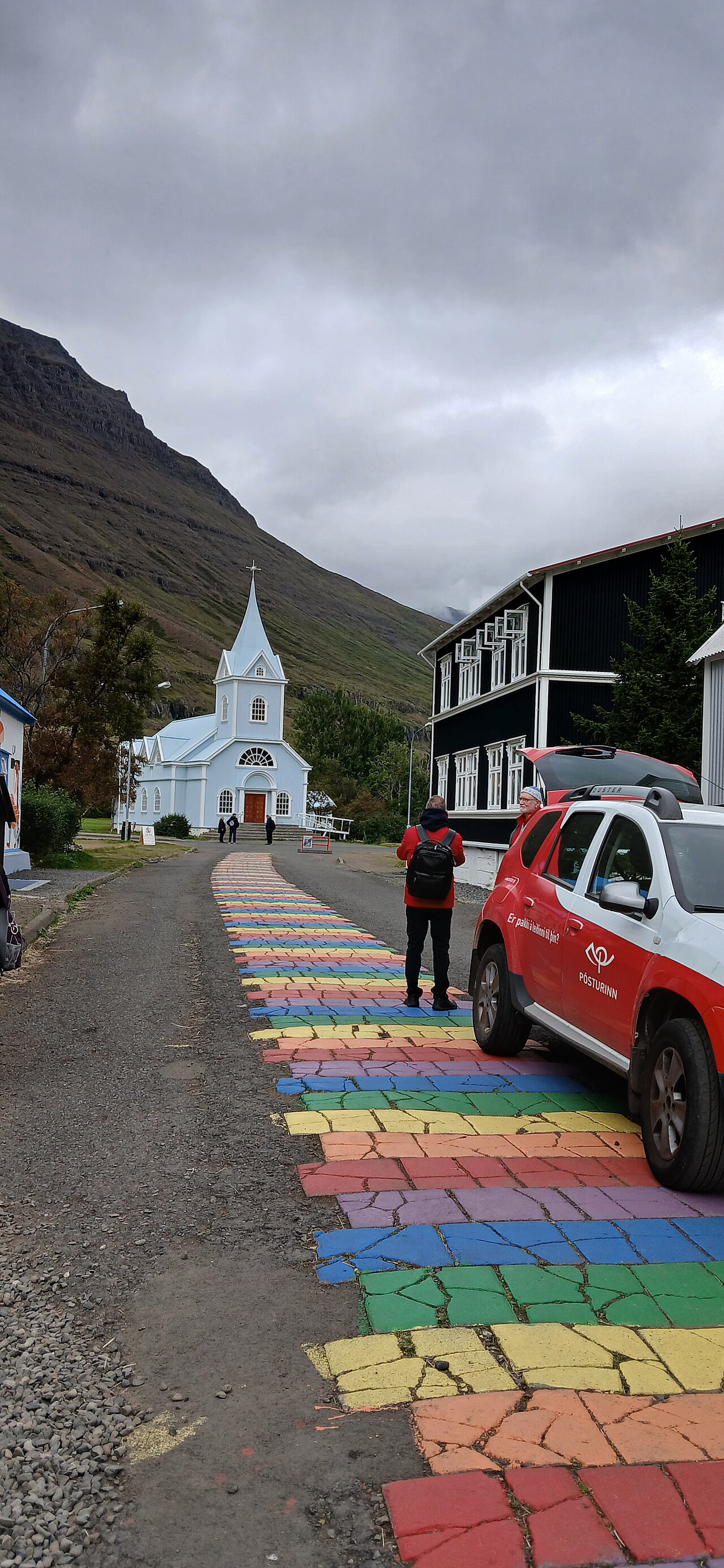
- Hero image: CeliaJBergoffen / Wikimedia Commons, CC0; the Seyðisfjörður rainbow street is used only to explain the scale of the town and fjord entrance, not the Skálanes trail, bird cliffs, boat views or departure-day weather.