
ICENAVI · WESTFJORDS ROUTE FIT
The pressure of doing both in one day
Scores consider road distance, time at the attractions, seasonal daylight, supply density and the flexibility created by overnight bases; they are not a same-day road-condition or access guarantee.
It can be completed, but that does not make it a good day; the real cost is returning late and having to move again the next day.
The two sites sit on different Westfjords branches, so the return drive is longer than it looks in photographs.
Midnight sun gives you visible hours, but it does not shorten gravel roads, parking time or fatigue.
Using Patreksfjörður or Bíldudalur as a southern base leaves room to change the order when wind or rain arrives.
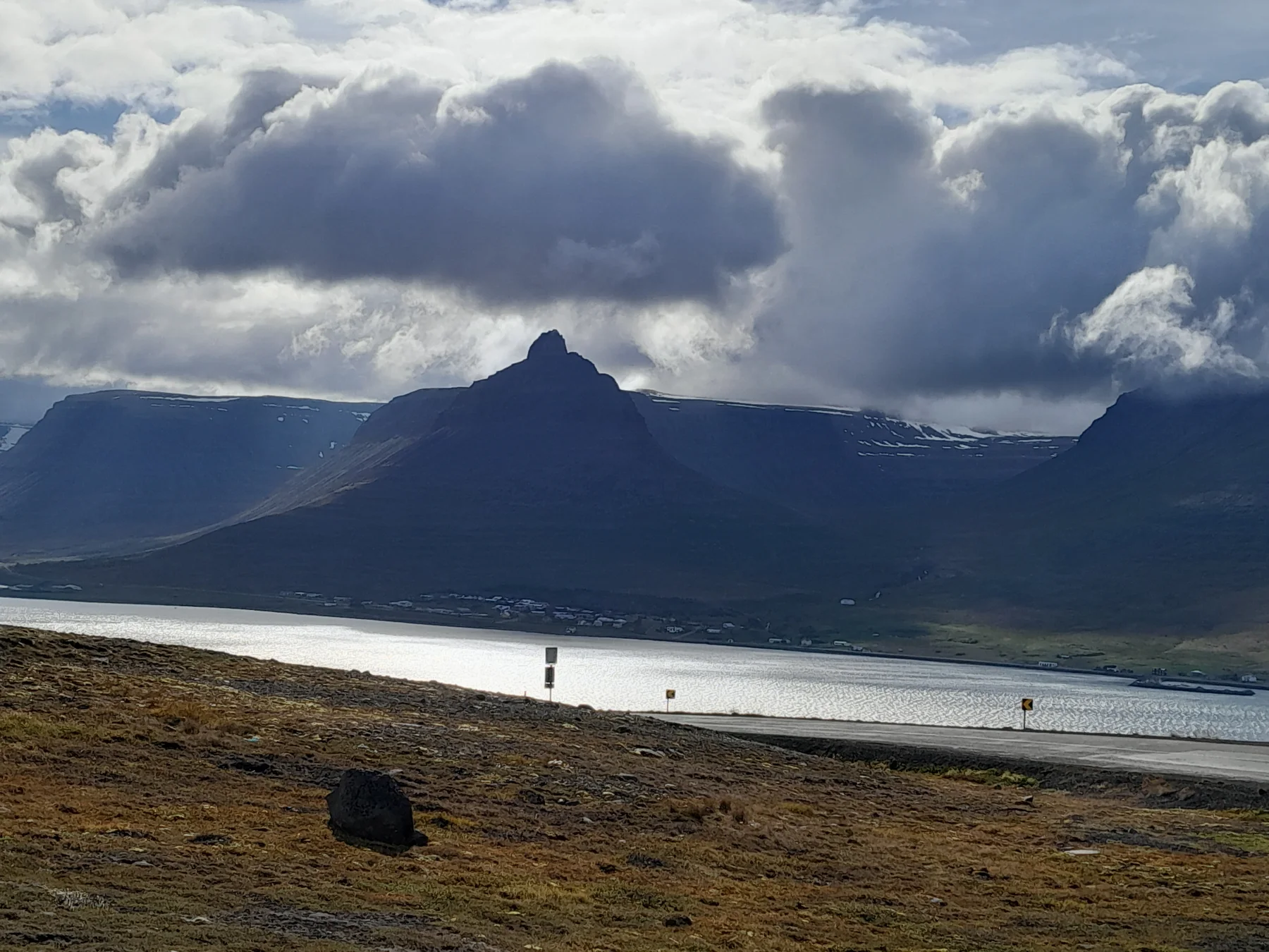
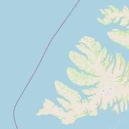
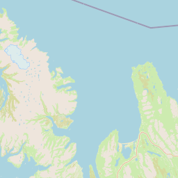
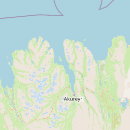
Many route maps place Dynjandi and Látrabjarg inside the same Westfjords outline, so it is natural to assume that “waterfall in the morning, sea cliffs in the afternoon” is reasonable. In practice, Dynjandi branches off near Route 60, while Látrabjarg requires a deeper run to the southwestern tip. The connection is not a motorway: expect to slow down, park, turn around and wait for sheep on Westfjords roads. The attractions themselves are free, but the time required is not.
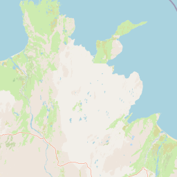
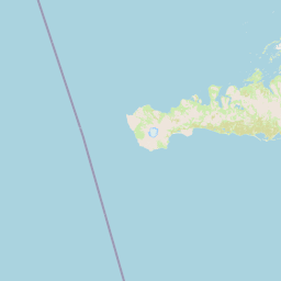
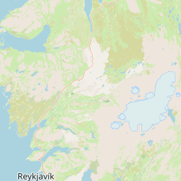
When does the same-day plan usually sacrifice one stop?
If you leave Patreksfjörður in the morning, visiting Látrabjarg first and then turning back towards Dynjandi makes it easiest to reach the waterfall late in the afternoon; the reverse order may mean missing the coast during its better viewing hours. Látrabjarg is more than a coordinate: after parking, you still walk along the cliffs, watch seabirds and wait for a weather window. Dynjandi is not a roadside photo point either; after parking, the short uphill path takes time, and wet ground after rain can extend the stop.
I would keep one main attraction for the day and move the other to the following day. With only two nights, stay at a southern base and make Látrabjarg the focus, then move towards Dynjandi the next day. With three nights, you can put one night around Bíldudalur or Patreksfjörður and another near Þingeyri or Ísafjörður, so the road direction and accommodation move together.
| Time available | Suggested arrangement | Main attractions kept | Do not add |
|---|---|---|---|
| Only 1 day | Choose one according to your overnight direction | Látrabjarg from a southern base; Dynjandi on a northern route | The other distant branch, Rauðasandur or a long lunch |
| 2 days, one base | One branch per day | The more distant sea cliffs on day one, then the waterfall, or the reverse | Three more waterfalls and a museum every day |
| 3 nights or more | One southern night plus one night in the north or centre | Both, with the order changed for the weather | Making Ísafjörður the same-day end point |
| Shoulder season or windy day | Choose the one that can be reached and completed safely | The closer stop with the shorter walk | Using daylight length to hide road risk |
Which route fits Dynjandi?
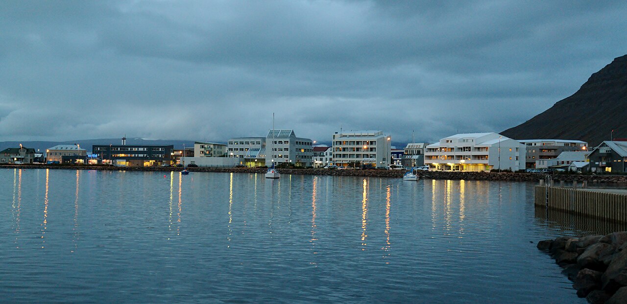
Dynjandi is easiest to connect by travelling through the central Westfjords on Route 60 and using the waterfall as the main stop between Ísafjörður, Þingeyri and Flókalundur. Its relationship with Ísafjörður, Þingeyri and Flókalundur is simpler to organise than its relationship with Látrabjarg. If you still need to reach southern accommodation that day, allow time for the path, photography and lunch instead of relying only on the map’s arrival time.
From here you can continue north to Ísafjörður destination guide, or return south to Westfjords accommodation bases. These links sit here because the practical decision is where to sleep after the waterfall, not which links can be left until the end of the article.
Why Látrabjarg is a poor final stop
The sea-cliff branch is not difficult because the attraction closes; the issue is that you must retrace the same direction after leaving, with fewer choices for dinner, fuel and accommodation. If Látrabjarg is the day before departure, the previous night needs a generous return margin. If it is the first Westfjords day, start from a southern base rather than crossing the whole region from Ísafjörður that morning.
Bird season, wind and visibility change how long the stop is worth. Poor weather does not necessarily make the cliff unreachable, but it may not justify giving it the whole day. A cancellable southern night is usually more flexible than paying early for a non-refundable room at the far end. Read the Látrabjarg accommodation guide, check dinner, cooking and the next day’s road first, then decide whether to add a night.
How should the real cost of a one-day route appear in the table?
Do not record only “hours of driving”. I would keep five separate fields: fuel before departure, one-way road time, walking after parking, lunch and toilet access, and the latest time you can return to your accommodation. Westfjords attractions often have no next service station to rescue a late plan. When the map shows twenty kilometres left, the people in the car may already be deciding whether dinner needs to become bread. These details will not appear in the viewpoint photograph, but they decide whether you have energy to walk the next day.
If you choose Látrabjarg, check your fuel level before the return drive and confirm that your accommodation accepts late arrivals. If you choose Dynjandi, allow for a wet path, photography and the uphill walk when planning your onward journey north or south. Both are free natural attractions; the real costs are the vehicle, time and an overnight stay. That is why “free” is not a reason to force both into one day.
| Check | Dynjandi day | Látrabjarg day |
|---|---|---|
| Before departure | Refuel, then take Route 60 and allow for the path and return drive | Fuel first and confirm you can still return to your accommodation after the cliff |
| Time at the stop | Park, walk uphill, take photographs and sort out wet outerwear | Walk the cliff edge, wait for birds and watch the wind before turning back |
| Most likely to run late | Assuming the waterfall is beside the car park | Treating the cliff walk as a five-minute photo stop |
ICENAVI · WESTFJORDS CHECK
One day can hold one distant headline stop
Both the waterfall and the sea cliffs are worth visiting, but chasing both in one day usually means trading your evening’s energy for the satisfaction of saying you saw two places. Leave the second stop for the next day so that each gets the time it deserves.
ICENAVI’s final call: With at least two days, summer conditions, stable roads and accommodation split along the route, Dynjandi and Látrabjarg can fit into the same Westfjords trip. With one day, choose whichever best follows your route. If you still want to attempt both, write down the latest return time, fuel stops, lunch and accommodation cancellation plan first; if any field cannot be filled, it is not a workable one-day itinerary.
Choose the base first
Westfjords destination guide
Westfjords accommodation bases
Látrabjarg accommodation
More reading
Plan the next branch
Five-day Westfjords itinerary
Should the Westfjords be added to the Ring Road?
Three ways to plan an eight-day branch
Common questions
Can you really visit Dynjandi and Látrabjarg in one day?
Yes, but it suits only self-drivers who have long summer daylight, stable road conditions and are willing to remove other stops. Most itineraries preserve more walking and return time by giving one main attraction to each day.
Where should you stay for both attractions?
Use Patreksfjörður or Bíldudalur as a southern base, then push the next night towards Þingeyri or Ísafjörður after seeing Dynjandi. Match the number of nights to the direction of travel rather than locking both nights to one end.
Is Látrabjarg worthwhile in winter or the shoulder season?
Check the day’s roads and wind before leaving. If conditions allow only a short drive, a nearby waterfall, pool or town visit close to your accommodation is usually more sensible than forcing the sea cliffs.
References
- Visit Westfjords for Westfjords roads, attractions and geographic context.
- SafeTravel Iceland and Umferðin for road, wind and safety information before departure.
- OpenStreetMap contributors for the real-location map base and attribution.
- Hero image: ICENAVI Westfjords road image asset; used to explain route scale, not to represent conditions on a specified date.