
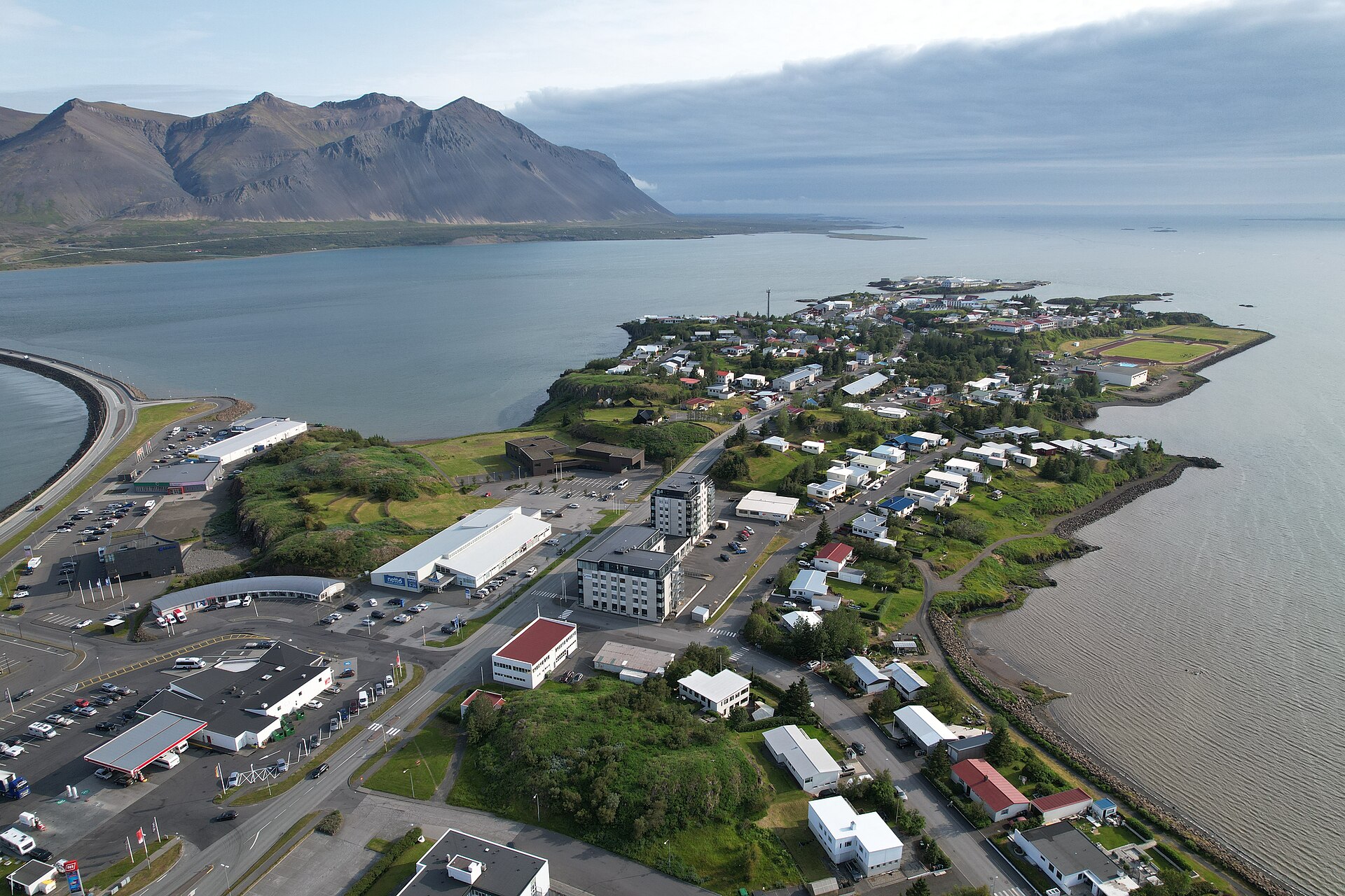
The easiest way to misplace Glymur in an itinerary is to compare it with a waterfall reached ten minutes after parking. You can drive to the end of the Botnsdalur road, but the waterfall is still high in the valley. The route begins through woodland and along the river, then climbs before opening into wider valley views. Turning back after reaching a worthwhile viewpoint can still make a satisfying short walk; making the full loop non-negotiable lets the weather and your footwear decide the day for you.
ICENAVI ROUTE FIT · HVALFJÖRÐUR
Glymur's payoff depends on having a half-day
Scores cover route factors supported by public information; check river levels and the footbridge status again before setting out.
A canyon, lava cave, river and tall waterfall are packed into one route.
The four-hour hike comes on top of the drive from Reykjavík.
Steep ground, wet rock and the river crossing amplify the effect of wind and rain.
Choose how far up the canyon your day can absorb
From the car park, the first section follows woodland and the Botnsá river before entering the canyon. A small lava cave on the way requires a brief crouch-through; the river crossing comes higher up. Local tourism information describes the full route as roughly four hours return, with rocky ground, sustained climbing and narrow sections where careful footing matters. The route can be scaled to your energy: turn around after reaching the canyon and waterfall viewpoints, and you can still cover the Hvalfjörður coast that day. The full route gives the trail your afternoon.
The footbridge is functional equipment, not decoration. Whether it is in place affects whether you can cross by the usual route; when water is high, snowmelt is strong or the bridge has been removed, forcing a wade is not a sensible trade. Bring a waterproof shell, hiking shoes with good grip and a small pack that leaves both hands free. If someone in your group is wearing city trainers, or only wants to see a waterfall, Glymur's demands are already greater than expected.
Build the plan around the time you have, not the map pin
| Time available | Practical plan | ICENAVI call |
|---|---|---|
| About 2 hours | Do not chase the full trail; make a short stop in the lowland Hvalfjörður area | Drop Glymur and protect the next stop |
| 4–5 hours | Parking, return hike, changing shoes and a buffer for the drive back | Borgarnes is the better base for continuing west |
| 6–8 hours | Add one fjord-coast stop or one indoor activity in Reykjavík | Add one finishing stop only; do not also squeeze in Snæfellsnes |
| High spring water/footbridge absent | Let the day's conditions and trail status decide how far you go | Shorten the stop or cancel; do not follow the summer loop by default |
From Reykjavík, calculate the door-to-door time: leave the city, follow Route 1 and then turn onto Route 47. The tunnel and fjord sections make “near Reykjavík” a longer proposition than it sounds. This works best if you have already reserved a western half-day and do not need to race back to the airport in the evening. If you have just landed, collected a car, bought water and dealt with luggage, Glymur should not be your first fixed target.
Staying one night in Borgarnes makes the decision much easier. With supplies sorted the night before, you can choose in the morning between the hike and a fjord drive according to the wind and rain. Continuing towards the Snæfellsnes Peninsula afterwards is also more coherent than driving out from Reykjavík and then retracing the route. A same-day Snæfellsnes plan works only if you accept dropping Kirkjufell or a long stop at the western end; putting both itineraries into one day makes the map quietly laugh.
How to read the map: These are real OpenStreetMap locations, shown to compare the city, fjord road and trailhead. The map is not navigation and does not show conditions on your departure day.
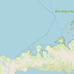
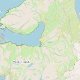
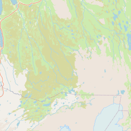
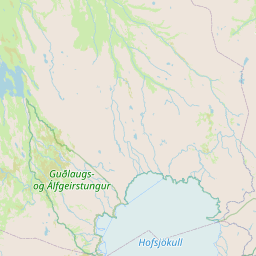
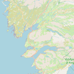
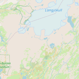
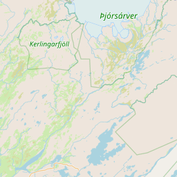 ReykjavíkSouthern startHvalfjörðurRoute 47 fjordBotnsdalurCar park/trailheadGlymurCanyon waterfall
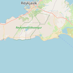
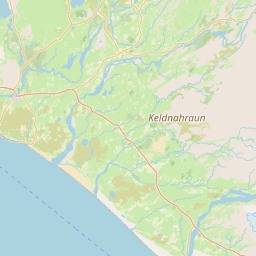
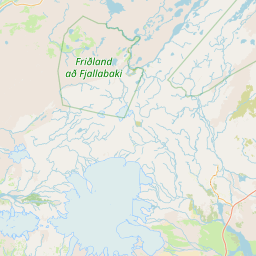
This map is for comparing locations, not for navigation.
To fit the waterfall into West Iceland, decide what gives way
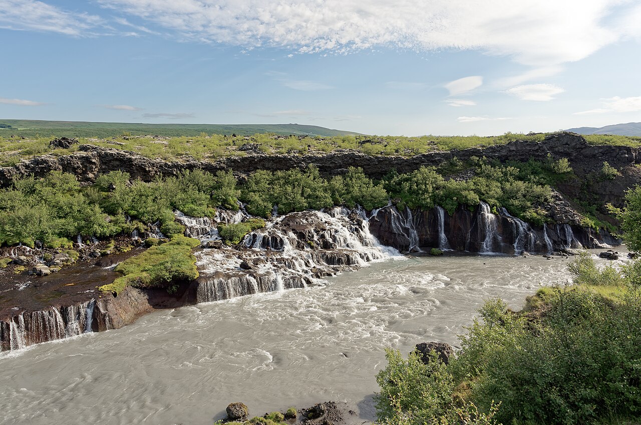
If Snæfellsnes is your next stop, Glymur can replace an ordinary city afternoon, but it cannot sit alongside every West Iceland sight. You need an earlier start, and your legs will slow the afternoon after the hike. Keeping dinner and your bed in Borgarnes is kinder to a long self-drive than pushing on to the peninsula's far west. If you want to visit the Vatnshellir lava cave, allow for its fixed tour time and the walk inside separately; do not stack two activities that both demand focused attention into one afternoon.
For a two-day, one-night Snæfellsnes itinerary, the cleanest place for Glymur is the day you leave Reykjavík, with an overnight in Borgarnes before deciding whether to hike or head straight to the peninsula. The value is not collecting one more waterfall; it is having a cancellable side trip that does not unsettle a paid cave tour, boat trip or ferry. Write “latest departure from Botnsdalur” into the plan. If you write only an arrival time, photos will quietly consume the return margin.
There is no standard admission fee. The real cost is fuel, parking, a four-hour trail and the opportunity cost of dropping another plan. If you would rather spend money on an activity, put the saved entry fee towards a West Iceland experience with a fixed meeting time. If flexibility matters more, Glymur makes a strong free anchor. Services are limited on the route, so buy water and lunch and pack dry socks in Reykjavík or Borgarnes.
Before leaving, I would check three things: whether the Botnsá crossing is currently feasible, the road surface on Route 47 and the approach to the car park, and whether you will still have daylight and energy after the return. If one of those does not line up, shorten the walk to a safe point or switch to a brief fjord stop; the waterfall does not disappear because you turn around before the final section.
ICENAVI · FINAL CALL
With a half-day and dependable footwear, Glymur is worth it. If you want an easy waterfall stop, leave it out.
The appeal of this route comes from the small amount of effort it asks for: the canyon, lava cave, river and tall waterfall unfold as one changing walk. Put it before a Borgarnes overnight or into a West Iceland half-day, and leave room for river conditions and a latest departure time. That gives you a hike with a sensible margin for turning back.
Q&A | Questions to answer before Glymur
How long does Glymur take?
West Iceland tourism information commonly describes the route as roughly four hours return. Parking, photos, river conditions and your own pace can move the total up or down, so a half-day is the steadier allowance.
Do I have to cross the footbridge?
The common route includes a seasonal river crossing and footbridge. If the bridge is absent or the water is high, the route conditions change; use the day's trail information to decide how far to go.
Is Glymur worth a day trip from Reykjavík?
It can be, provided the drive, four-hour hike and return margin are counted together. Starting in Borgarnes usually makes it easier to continue to the next West Iceland stop.
Do I need a ticket?
The trail is a free natural attraction. Fuel, parking, equipment and the half-day it occupies are the practical costs.
References | Checks before departure
- Visit West Iceland: Glymur (roughly four-hour return time, canyon and river footbridge description)
- Safetravel Iceland (trail and weather checks before departure)
- OpenStreetMap contributors (base map used for the branded map)
More reading
If you want to trade one slower day in the west for more route margin, see the Snæfellsnes Peninsula destination guide. For a city base, the Reykjavík city centre or harbour accommodation guide covers the departure-position trade-off.