
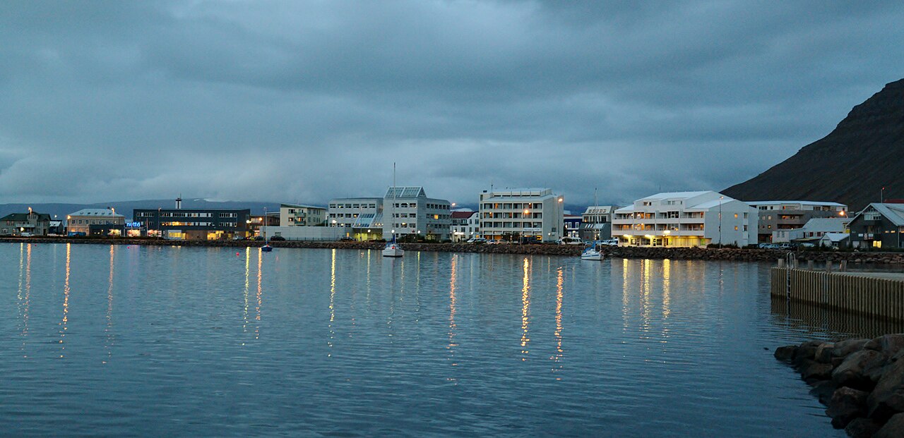
ICENAVI BOLUNGARVÍK FIT
Plan the day around one summit window
Scores reflect seasonal road access, viewing weather, indoor alternatives and connections with Ísafjörður. A summit panorama does not automatically justify a long transfer.
The Bolafjall platform overlooks Ísafjarðardjúp, Jökulfirðir and the open sea. The view depends on access and visibility.
The summit road is usually most reliable in July and August, although same-day access still depends on local conditions and notices.
Ósvör reconstructs a nineteenth-century fishing station with a two-person fishermen’s hut, salt house, fish-drying racks and a fishing boat, giving a rainy day a clear focus.
The tunnel places Ísafjörður and Bolungarvík within the same northern cluster, with Route 61 providing an onward connection to Súðavík the following day.
Ósvör, the swimming pool, shops and cafés provide enough to do on a rainy day. If Bolafjall is closed, the scenic element must wait for another day.
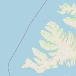
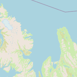
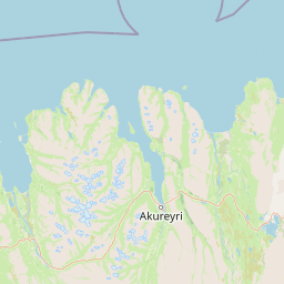
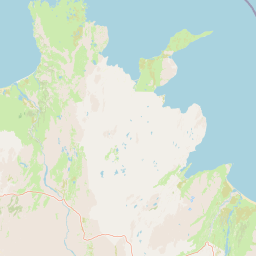
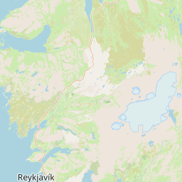
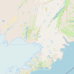
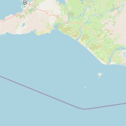
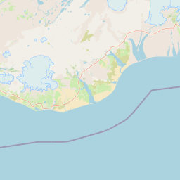
 BolungarvíkFishing village / poolBolafjallSummit platformÓsvörNineteenth-century fishing stationÍsafjörðurTown base / tunnelSúðavíkEast along Route 61
Bolafjall is a forecast check, not a promise
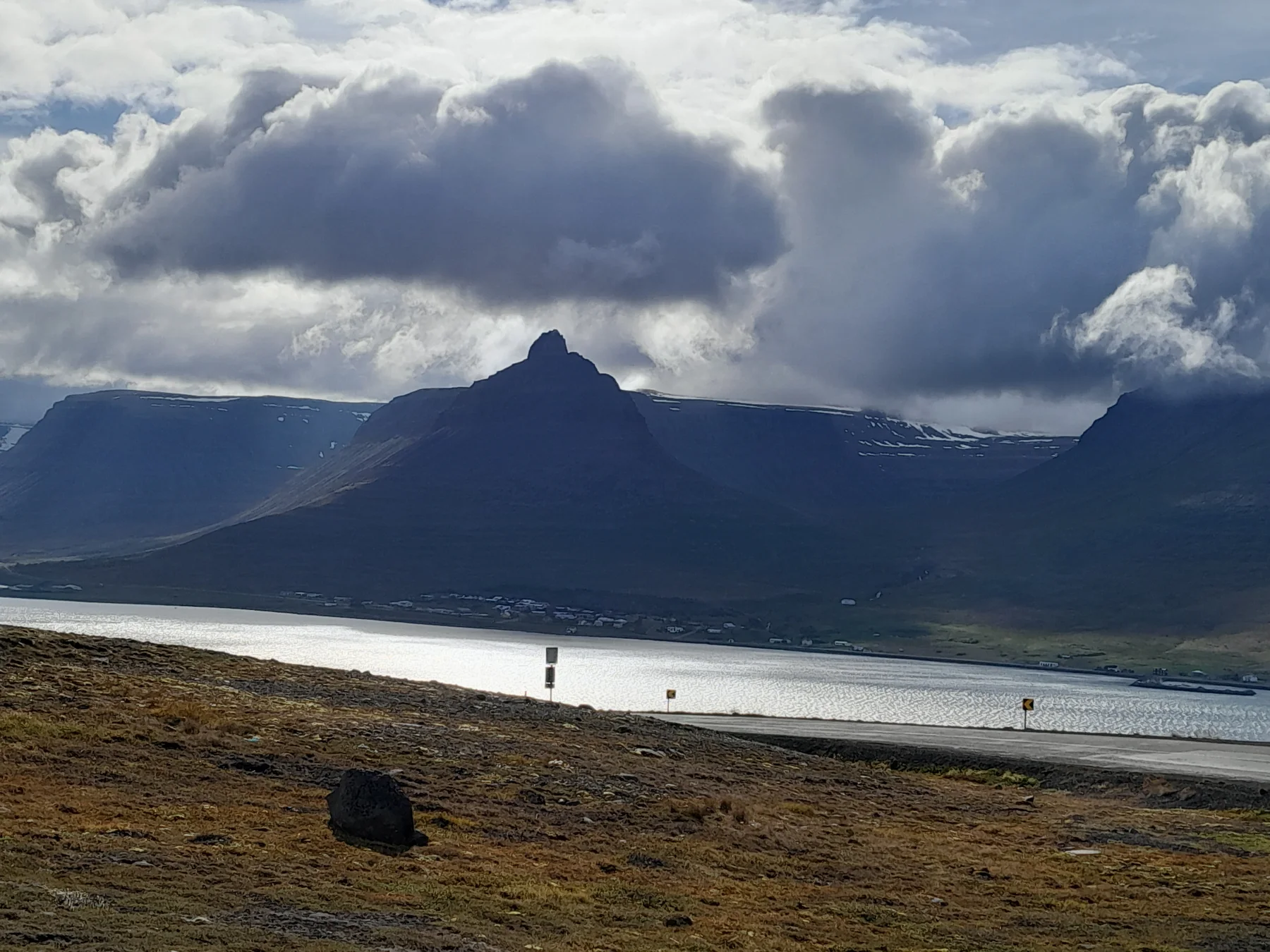
The road to Bolafjall climbs towards the radar station and viewing platform above Ísafjarðardjúp, Jökulfirðir and the Hornstrandir Nature Reserve. Town information treats it as a summer attraction, with July and August generally offering the best chance of access. That helps with month planning but says nothing about the cloud base on your day. Check the platform notice, wind and visibility before you let one panorama decide the route.
If low cloud hangs over Ísafjörður in the morning, visit Ósvör first and reassess the summit in the afternoon. Should the platform remain closed, Skálavík’s black-sand beach and the town swimming pool offer a satisfying day without heading uphill. There is no reason to gamble an entire northern afternoon on a single mountain pass for one landscape photograph.
Ósvör gives a closed-summit day its shape
Ósvör Maritime Museum stands beside Route 61 on the way into Bolungarvík and reconstructs a nineteenth-century fishing station: a two-person hut, salt house, fish-drying platform, shed and boat. Guides use traditional leather protective clothing to demonstrate the work. On a rainy day, start here, then go into town for supplies and the pool; the half-day still has a clear sequence rather than a collection of weather-dependent viewpoints.
Ósvör does not require a full day. If you are arriving from Súðavík, visit the museum and have lunch in Bolungarvík before driving up Bolafjall. If Súðavík and Ísafjörður are on the following day’s route, stop at Ósvör before entering town so that you do not have to double back around the bay in the evening. The town has a petrol station, shops, accommodation and an indoor swimming pool. In the remote Westfjords, these services form the practical backbone of the route.
Event dates can change the room and road calculation
The total solar eclipse on 12 August 2026 has already passed. Bolafjall was listed as a designated observation point in the northern Westfjords, with private cars restricted and shuttle buses used on the mountain road that day. The example is a useful reminder that major events can rewrite the usual rules for mountain access, parking and accommodation. The town page also lists Stefnir Afmælishátíð 1906–2026 for 12–13 September 2026. If your dates coincide, securing a room and meals early matters more than finding a last-minute viewpoint photograph. Check the event page again for other years rather than copying the 2026 arrangements.
| Your time and weather | What to do first | Accommodation decision | Trade-offs to consider |
|---|---|---|---|
| Clear summer day with a full afternoon | Ósvör → lunch → Bolafjall → Skálavík | One night makes sense | Summit access, wind and light for the return journey |
| Low cloud or light rain | Ósvör → swimming pool → walk through town | A half-day is enough unless the next day’s route calls for a stay | You may miss the platform view altogether |
| Short winter daylight | Check road conditions before choosing activities in town | Stay only when you have a clear indoor plan | Mountain-road closures, darkness and transfer time |
| Event day or major viewing date | Secure the shuttle, parking, room and meals first | Book one night early only when the dates align | Traffic controls, shuttle charges and crowds |
ICENAVI · BOLUNGARVÍK CALL
A closed summit does not cancel the village
Use a clear, open platform to justify a half-day or night around Bolafjall. If the road stays closed, build the visit around Ósvör, the pool and the Route 61 connection with Ísafjörður instead of chasing one photograph.
From Ísafjörður, Bolungarvík works best with culture before altitude: visit Ósvör in the morning, assess the summit after lunch, then decide whether to spend some time at Skálavík. When travelling west from Súðavík or Hólmavík, treat the town as an endpoint within the northern cluster. Sort out fuel, food and the swimming pool first, then give the following day to Ísafjörður or a route farther north. To place nearby overnight stops within a wider Westfjords itinerary, read the Súðavík destination guide to compare the roles of the two villages around Ísafjarðardjúp, then return to Ísafjörður to decide on your town base.
Q&A | Questions to ask before visiting Bolungarvík
When can you drive up Bolafjall?
Local information describes the road as a summer attraction, with July and August generally offering the best chance of access. On the day, you must still check platform notices, wind and visibility.
Is Bolungarvík still worth visiting when Bolafjall is closed?
Yes. Ósvör Maritime Museum, the town swimming pool, shops and Skálavík’s black-sand beach can still fill a half-day. Leave the scenic element for the next clear day.
How far is Bolungarvík from Ísafjörður?
It is about 20 kilometres away, connected by Route 61 and the tunnel. Parking, mountain-road conditions and weather affect the actual journey, so do not estimate it using urban commuting speeds.
How much time should you allow for Ósvör?
One to two hours is enough to see the main fishing-station buildings and exhibits. Allow half a day for a more relaxed visit with a guided tour, lunch and the summit.
Is Bolungarvík suitable for an overnight stay in winter?
Confirm road conditions and indoor opening hours first. If the summit view is your only reason for visiting, it does not justify a winter detour on its own. A museum visit, swimming session or scheduled event gives the overnight stay a firmer purpose.
References
- Visit Westfjords | Bolungarvík (the town, Bolafjall’s season, Ósvör, local services and 2026 events).
- Visit Westfjords | Ósvör Museum (the reconstructed fishing station, exhibits and location).
- Visit Westfjords | Solar Eclipse in the Westfjords (2026 eclipse observation points, shuttles and traffic arrangements).
- Visit Westfjords | Outstanding Bolafjall (platform elevation, views and seasonal access context).
- OpenStreetMap contributors (the real-world base map used in this article).